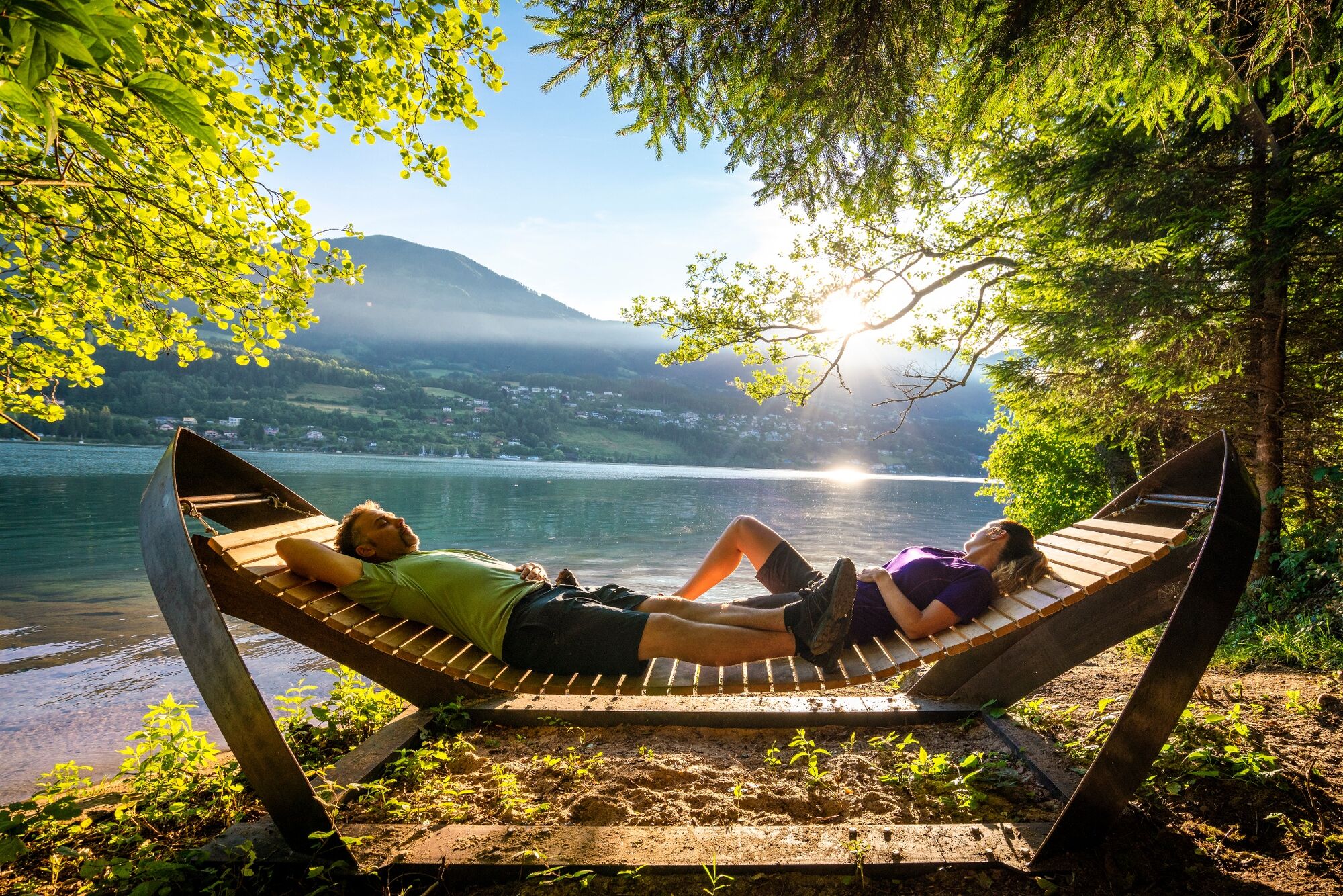
© MBN Tourismusmanagement GmbH - Gert Perauer

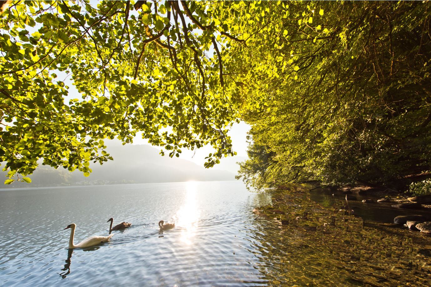
© MBN Tourismusmanagement GmbH - Millstätter See - Bad Kleinkirchheim - Nockberge Tourismusmanagement GmbH

© MBN Tourismusmanagement GmbH - Millstätter See - Bad Kleinkirchheim - Nockberge Tourismusmanagement GmbH

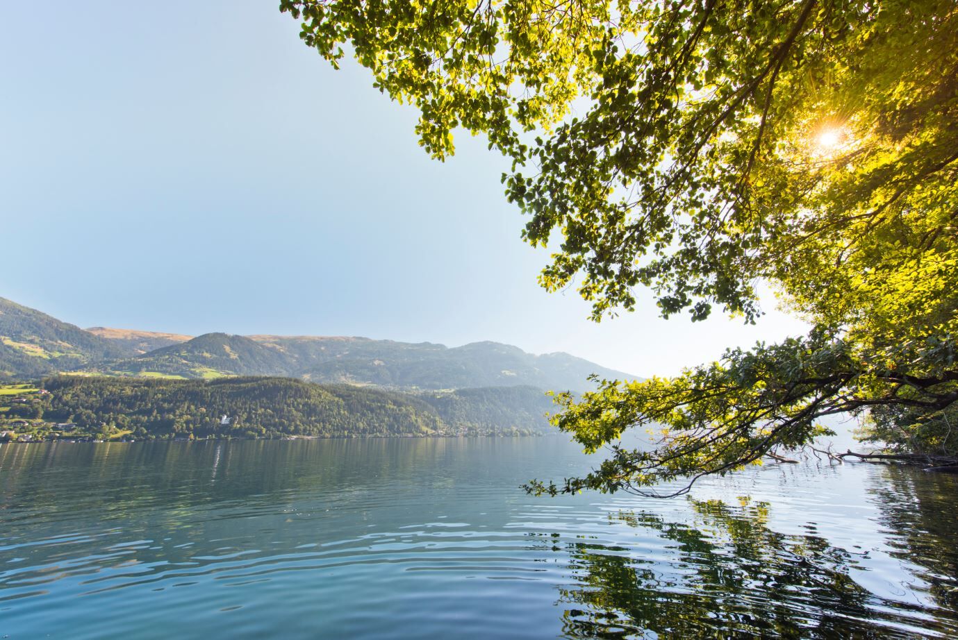
© MBN Tourismusmanagement GmbH - Gert Perauer

- Scurtă descriere
-
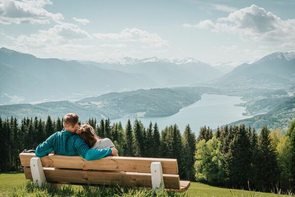
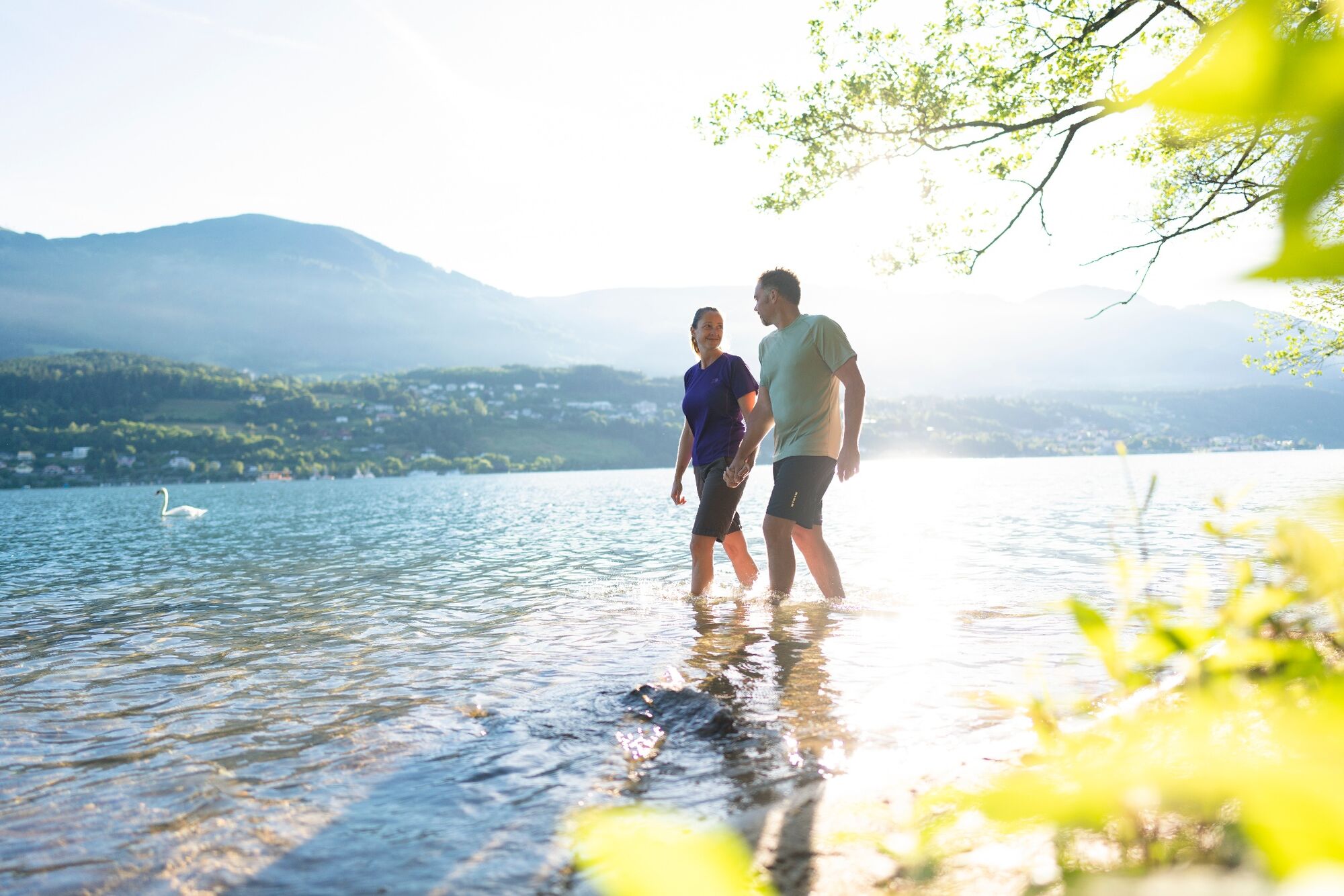
Das Plätschern der Wellen und das Spiel aus Licht und Schatten ... Was gibt es Schöneres, als an einem naturbelassenen Seeufer entlangzuspazieren?
- Greutăţi
-
uşor
- Evaluare
-
- Cel mai bun sezon
-
ianfebmaraprmaiiuniulaugsepoctnovdec
- Cel mai înalt punct
- 639 m
- Destinație
-
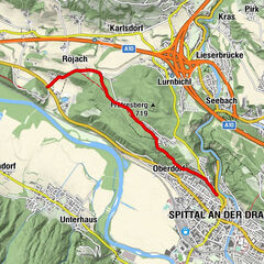
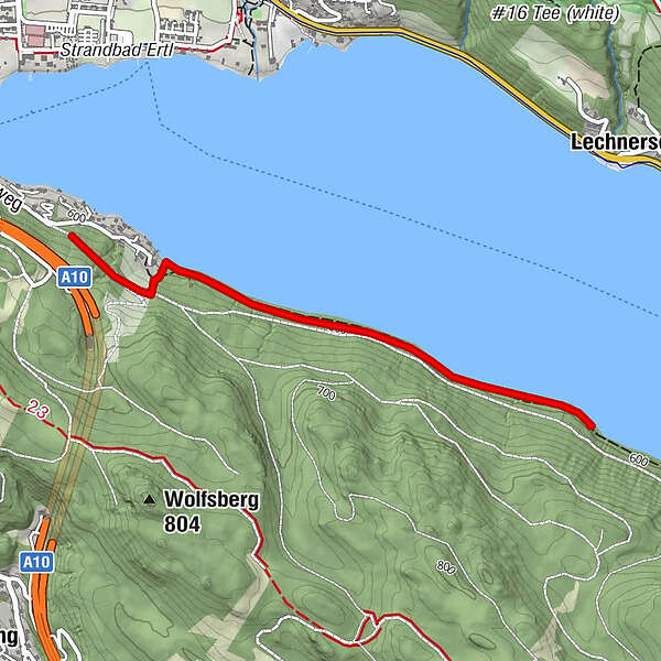
Parkplatz Südufer in Seeboden am Millstätter See
- Profil de elevație
-

- Autor
-
Turul Slow Trail Südufer este utilizat de outdooractive.com furnizat.
GPS Downloads


Informaţii generale
Sfat din interior
Flora
Fauna
Promițător
Mai multe tururi în regiuni