© Region Villach - Faaker See - Ossiacher See - Gerhard Hohenwarter

© Region Villach - Faaker See - Ossiacher See - Martin Hofmann

© Region Villach - Faaker See - Ossiacher See - Adrian Hipp

© Region Villach - Faaker See - Ossiacher See - Leitner

© Region Villach - Faaker See - Ossiacher See - Gerhard Hohenwarter

© Region Villach - Faaker See - Ossiacher See - Gerhard Hohenwarter
Informaţii pentru tur
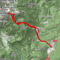
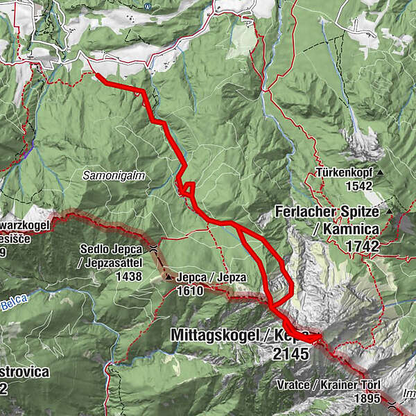
10,9km
912
- 2.107m
1.193hm
1.195hm
02:14h

- Scurtă descriere
-
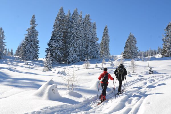
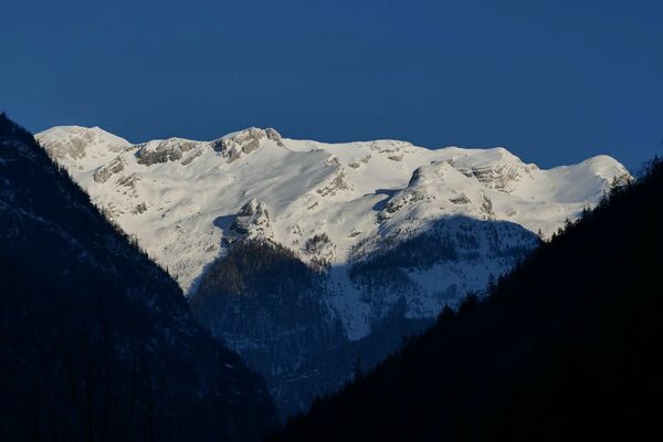
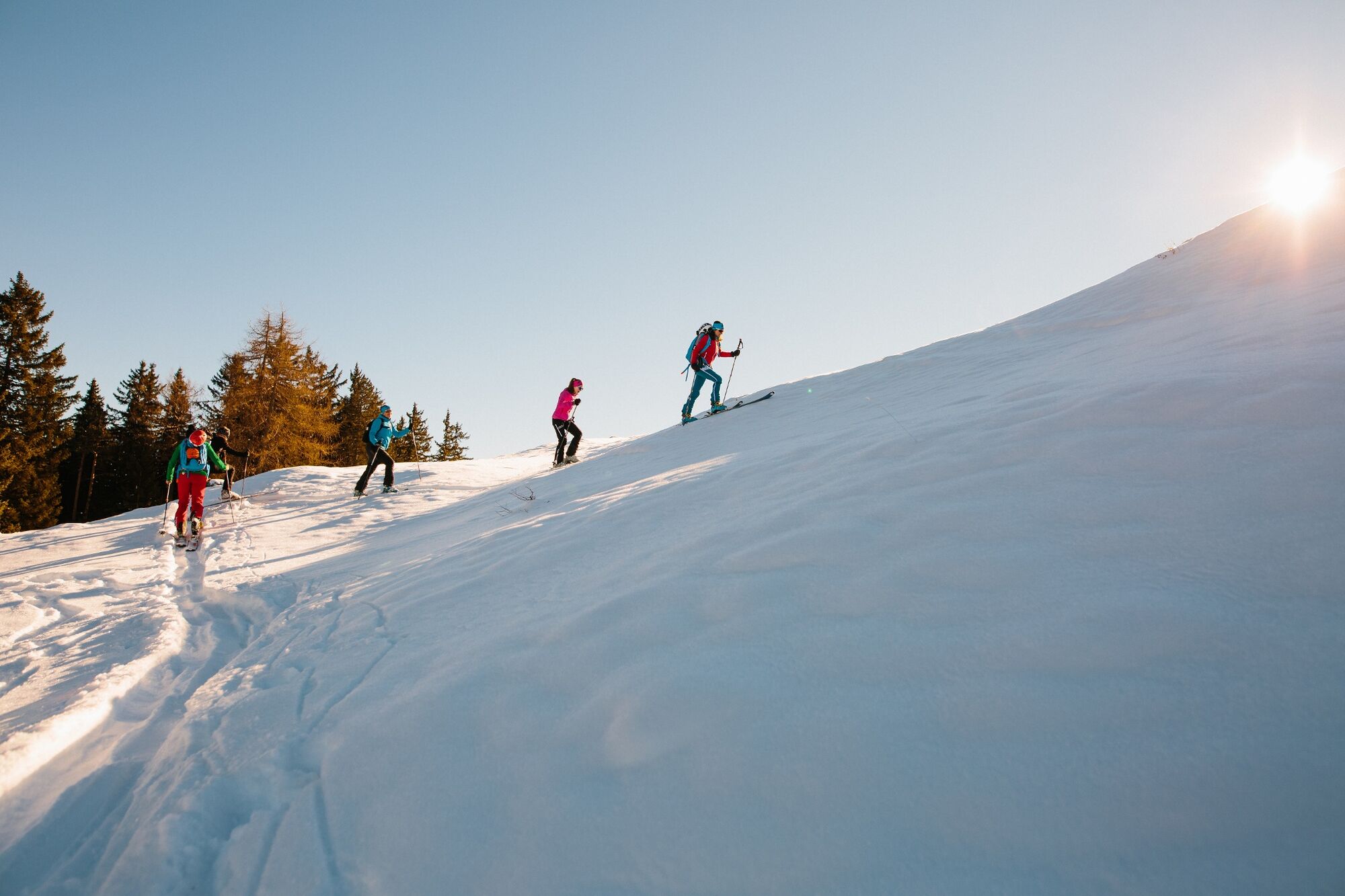
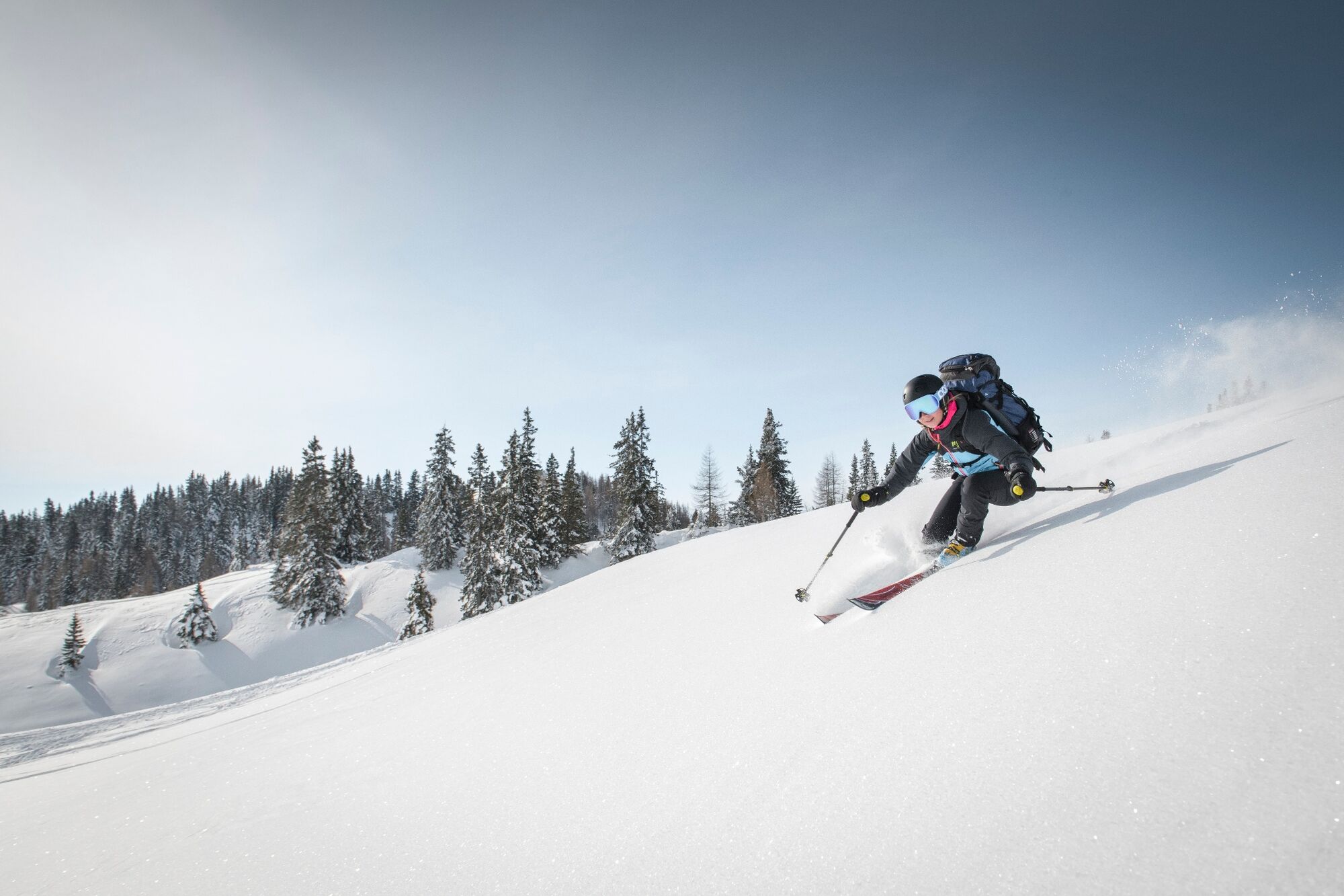
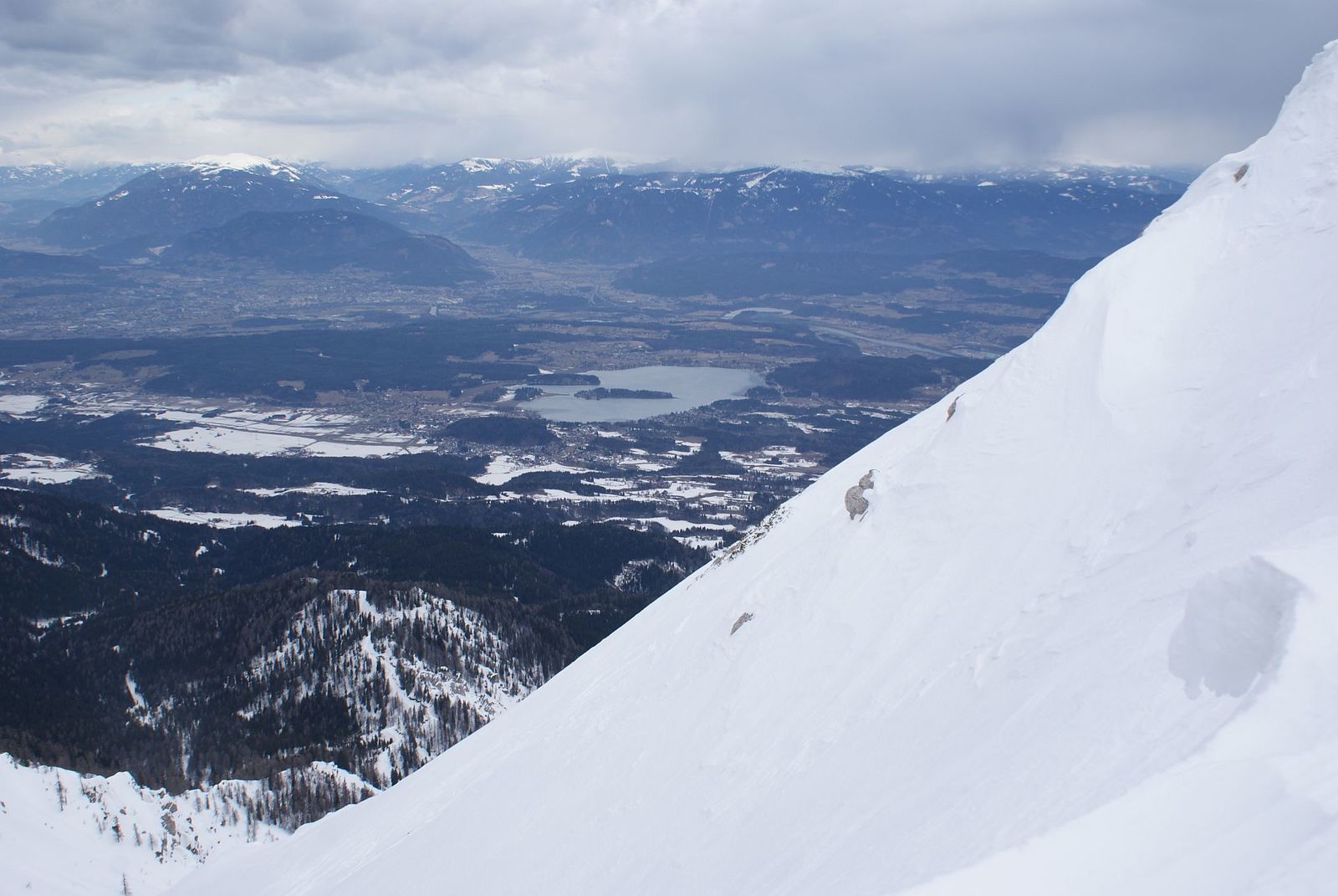
At first it goes unspectacularly higher through the forest, before you suddenly stand in the steep channel system under the Kleiner Mittagskogel. The exposed crossing into the Mittagskogel west flank is only for experienced ski tourers with a good head for heights. The west flank is not very long but simply beautiful.
- Greutăţi
-
greu
- Evaluare
-
- Ruta
-
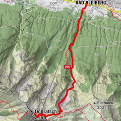
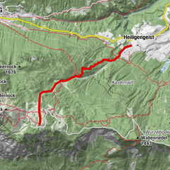
Mittagskogel (2.145 m)5,7 km
- Cel mai bun sezon
-
augsepoctnovdecianfebmaraprmaiiuniul
- Cel mai înalt punct
- 2.107 m
- Destinație
-
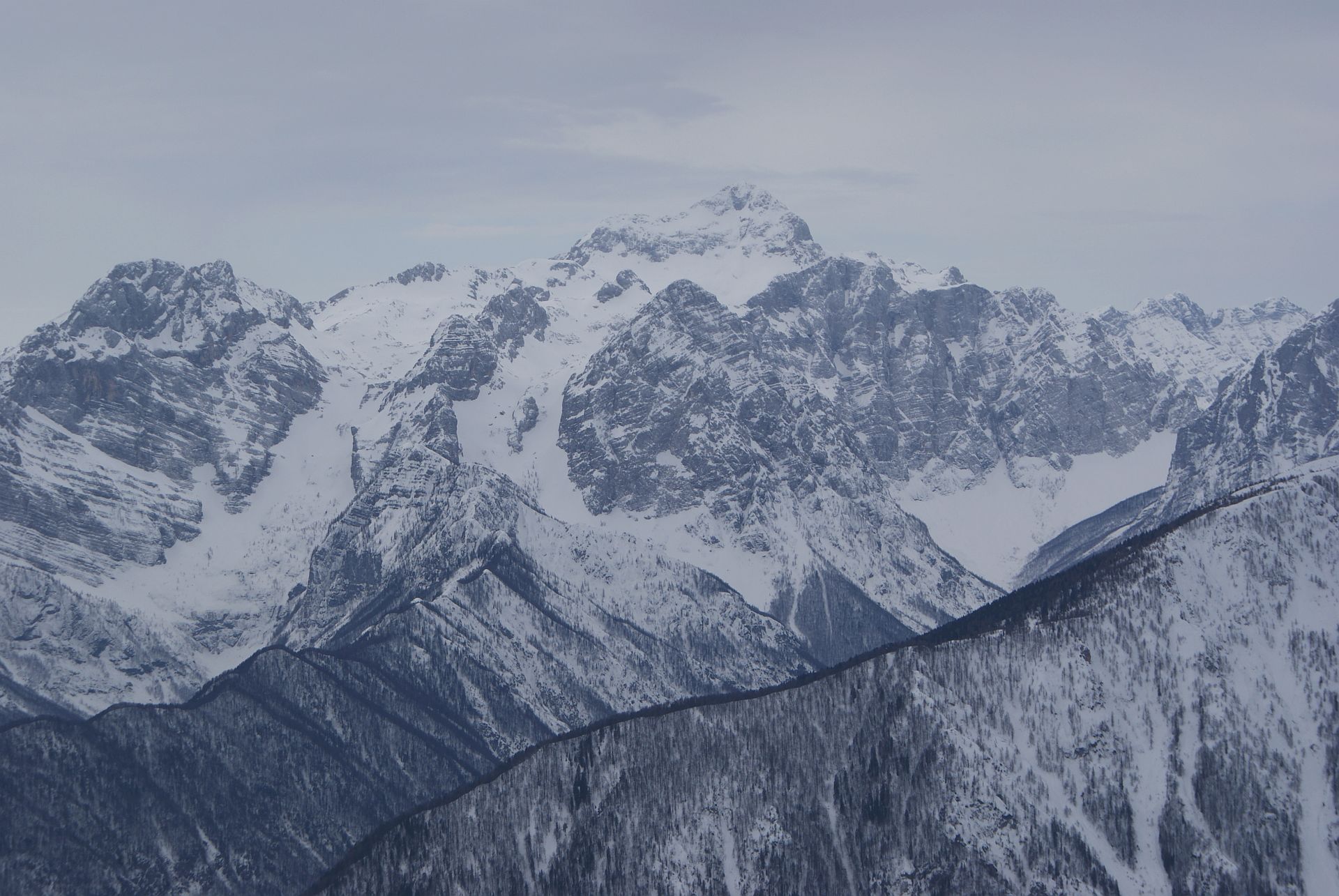
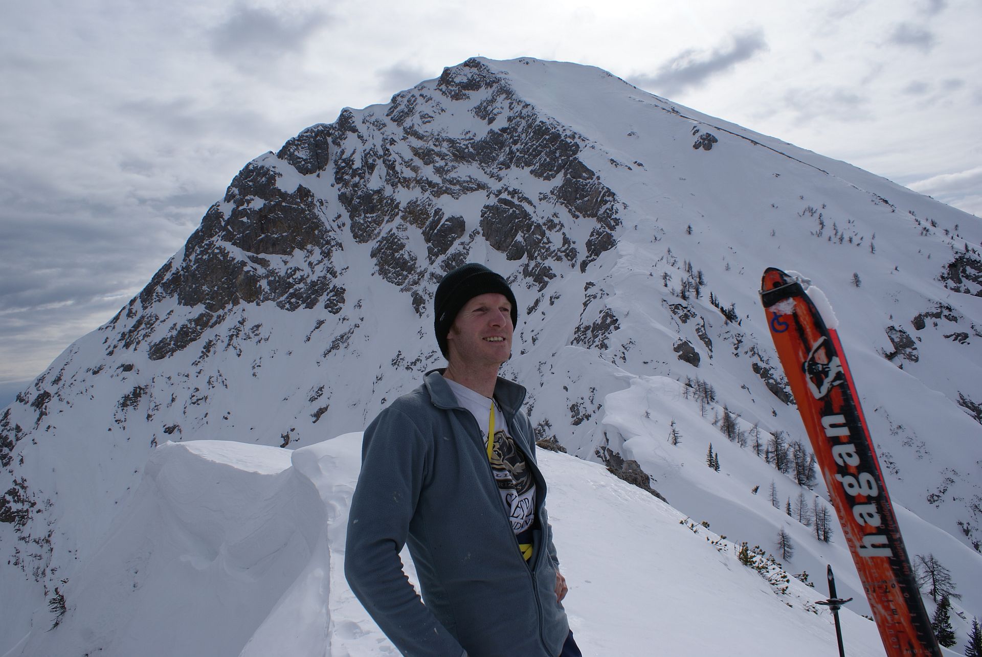
Mittagskogel
- Exposition
- Profil de elevație
-

- Autor
-
Turul Mittagskogel Western Ascent este utilizat de outdooractive.com furnizat.
GPS Downloads


Informaţii generale
Promițător
Mai multe tururi în regiuni