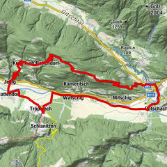
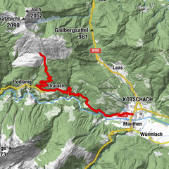
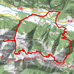
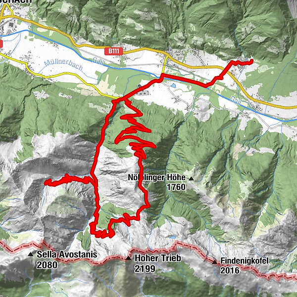
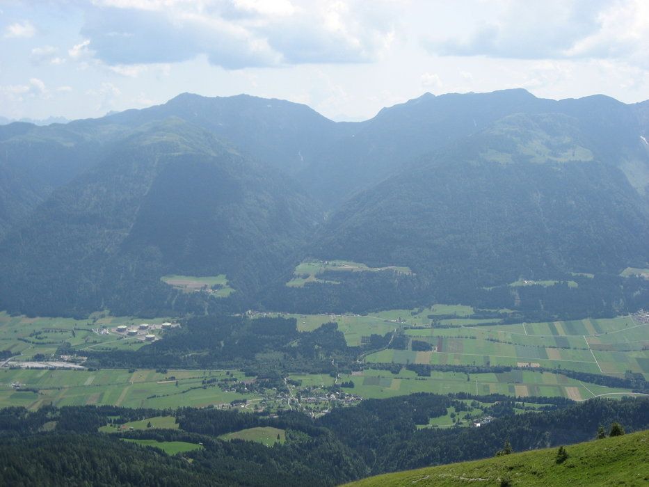
Grafendorf - Zollner Alm - Obere / Untere Bischof Alm - Frondell Alm - Kronhof - Grafendorf

Mountainbike


Informaţii pentru tur
44,3km
650
- 1.795m
1.690hm
04:00h
- Evaluare
-
- Punct de pornire
-
Start/Ziel Grafendorf im Gailtal
- Ruta
-
Grafendorf0,4 kmWeidenburg5,1 kmGratzhof6,2 kmObere Frondell-Alm29,8 kmWeidenburg37,6 kmGrafendorf42,8 km
- Cel mai înalt punct
- 1.795 m
- Odihnă/Retragere
-
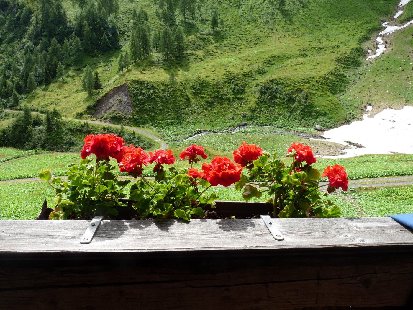
Frondell Alm Öffnungszeiten beachten www.frondell-alm.at
GPS Downloads


Benzi de circulaţie
Asfalt
Pietriş/prundiş/grohotiş
Drumuri montane
Drumuri înguste/poteci pentru o persoană
Verificare
Circulaţie
Mai multe tururi în regiuni