© Engadin Tourismus AG - Cordula Seiler

© Engadin Tourismus AG - Cordula Seiler

© Engadin Tourismus AG - Cordula Seiler

- Scurtă descriere
-
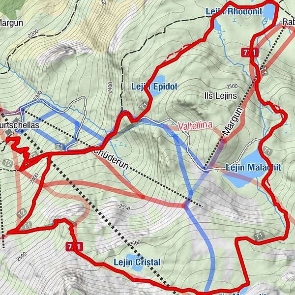
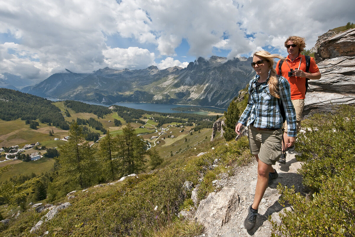
Discover the unique high-alpine flora and lake landscape of the Upper Engadine on this hiking circuit to the six 6 Lejins (Romansh: small lakes). The lakes are named after the minerals and rock types they contain.
- Greutăţi
-
mediu
- Evaluare
-
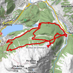
- Ruta
-
La Chüdra0,0 kmFurtschellas0,1 kmFurtschellas5,9 kmLa Chüdra6,0 km
- Cel mai bun sezon
-
ianfebmaraprmaiiuniulaugsepoctnovdec
- Cel mai înalt punct
- 2.653 m
- Destinație
-
Sils.i.E. (Furtschellas)
- Profil de elevație
-
 © outdooractive.com


- Autor
-
Turul 721 Senda Ils Lejins Sils/Furtschellas este utilizat de outdooractive.com furnizat.
GPS Downloads


Informaţii generale
Oprire pentru băuturi răcoritoare
Sfat din interior
Flora
Promițător
Mai multe tururi în regiuni
-
Veltlin / Valtellina
852
-
Engadin St. Moritz
782
-
Sils
311