© Arosa Lenzerheide - Arosa Tourismus

© Unbekannt

© Arosa Lenzerheide - Arosa Tourismus

© Arosa Lenzerheide - Nicole Gysi

- Scurtă descriere
-
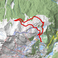
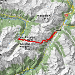
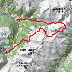
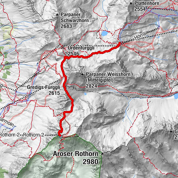
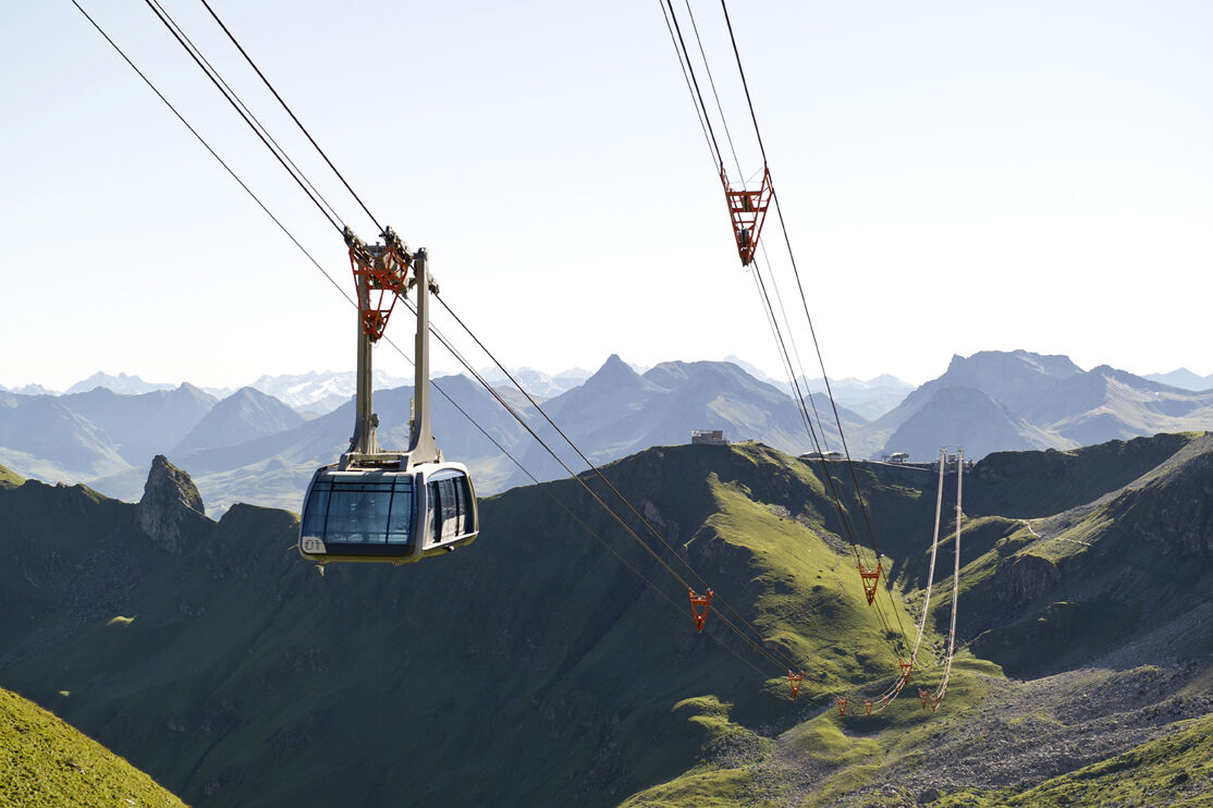
From Arosa to Lenzerheide, from peak to peak: on this tour you pass the Urden valley, which forms the border between Arosa and Lenzerheide, on foot or glide up to the Urdenfürggli by train.
- Greutăţi
-
mediu
- Evaluare
-
- Ruta
-
Gredigs Fürggli (2.615 m)2,9 kmParpaner Rothorn (2.861 m)4,9 kmRestaurant am Parpaner Rothorn4,9 kmRothorn (2.857 m)5,0 km
- Cel mai bun sezon
-
ianfebmaraprmaiiuniulaugsepoctnovdec
- Cel mai înalt punct
- 2.851 m
- Destinație
-
Parpaner Rothorn (Lenzerheide)
- Profil de elevație
-
 © outdooractive.com

- Autor
-
Turul Hörnli Mountain Station - Urdental - Parpaner Rothorn este utilizat de outdooractive.com furnizat.
GPS Downloads


Informaţii generale
Oprire pentru băuturi răcoritoare
Promițător
Mai multe tururi în regiuni