© Andrea Badrutt

© Andrea Badrutt

© Andrea Badrutt

© Andrea Badrutt

© Andrea Badrutt

- Scurtă descriere
-
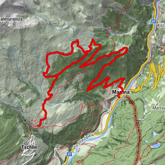
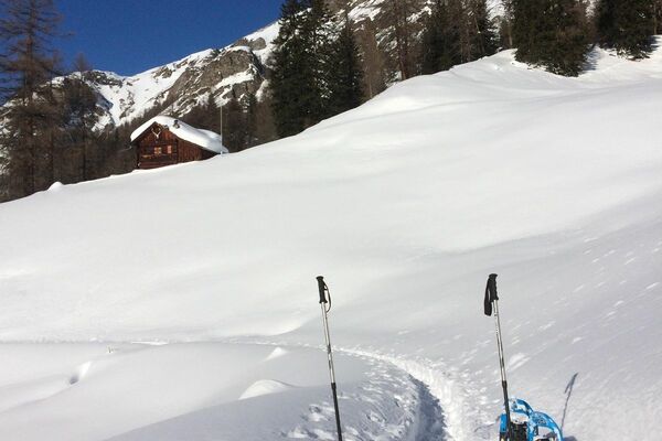
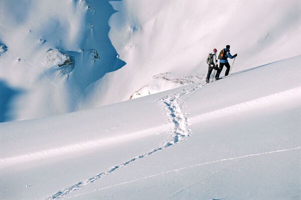
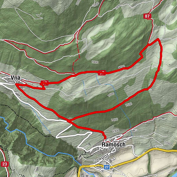
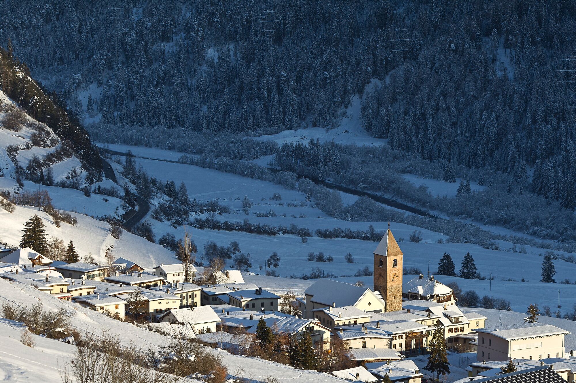
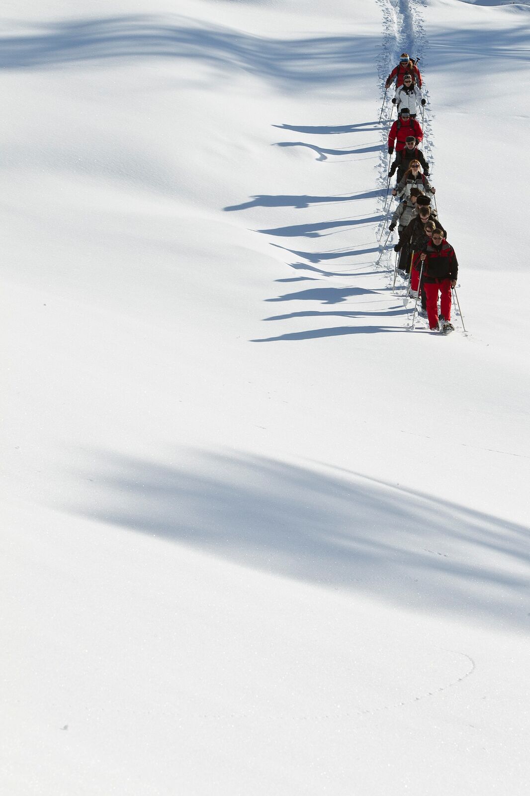
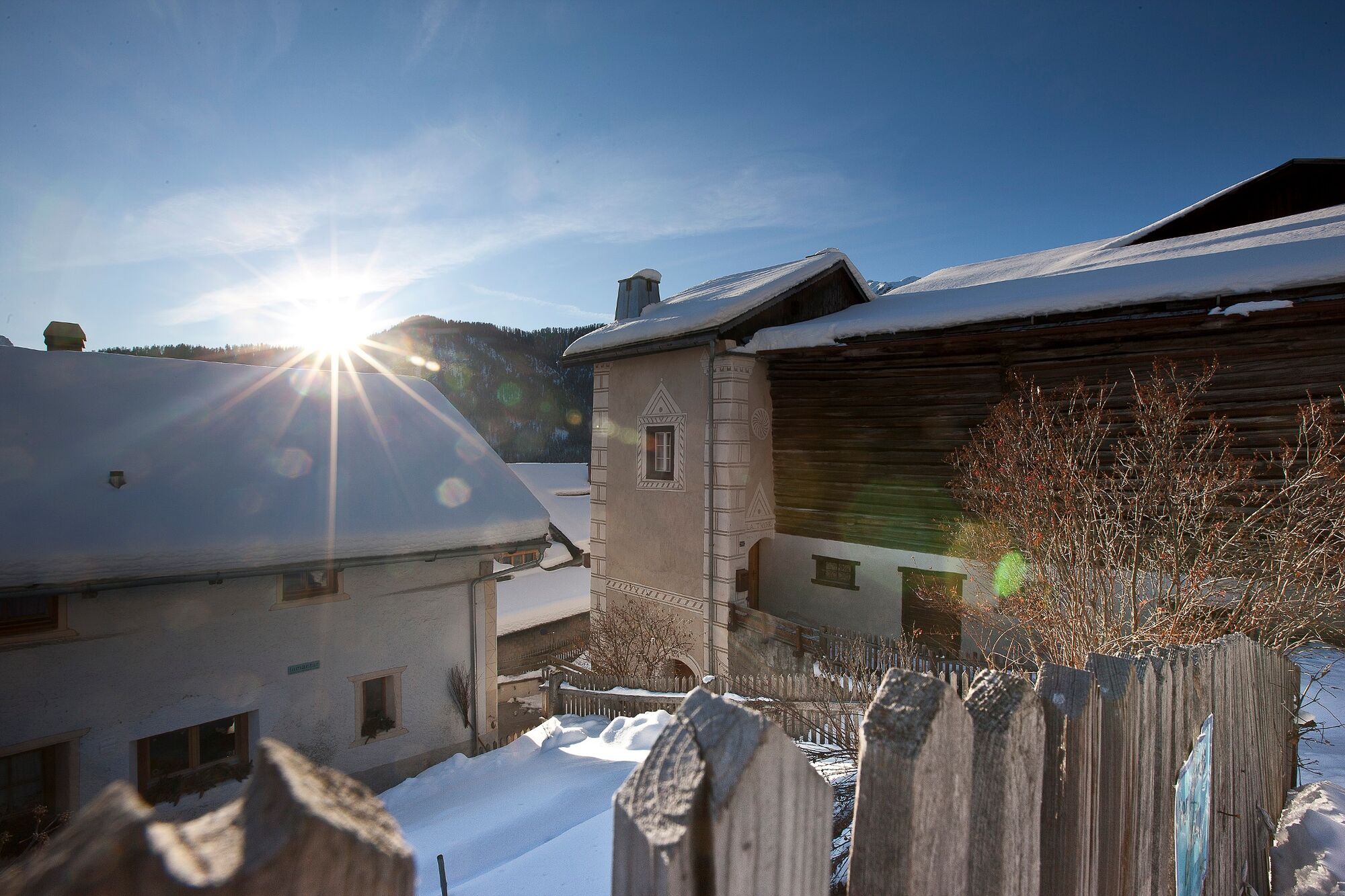
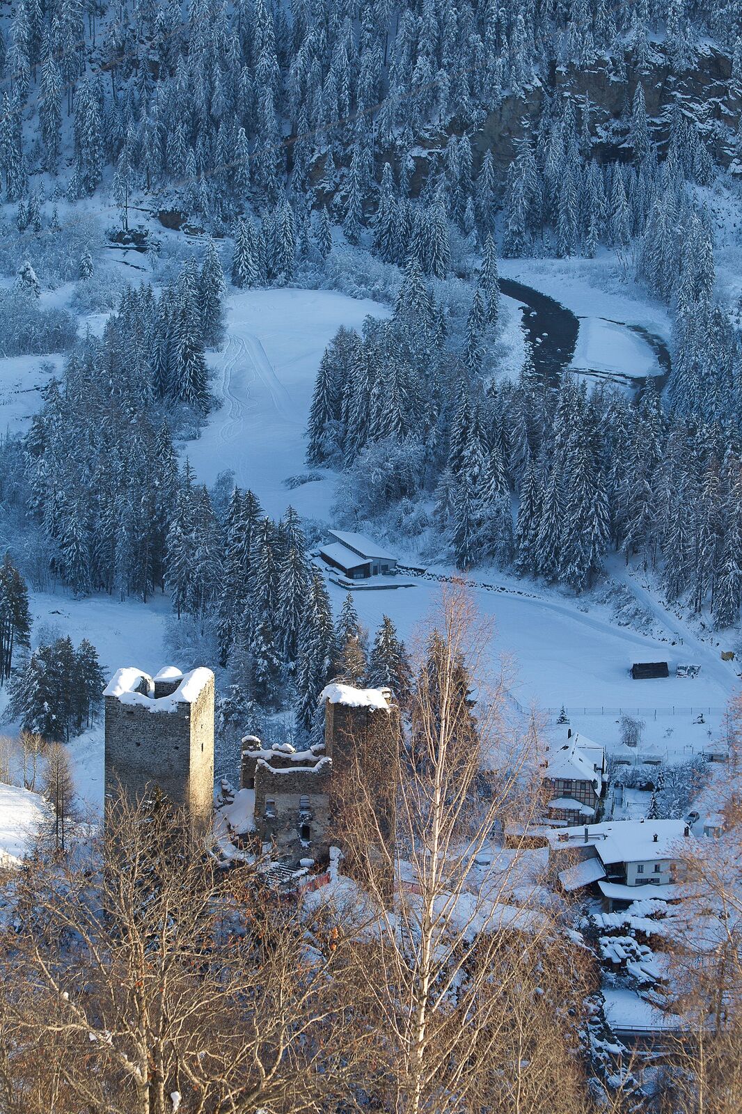
On the sunny slope high above the Inn valley, the snowshoe route, which is rather steep at the beginning, leads through open terrain from Ramosch to Vnà and back again through the forest.
- Greutăţi
-
mediu
- Evaluare
-
- Ruta
-
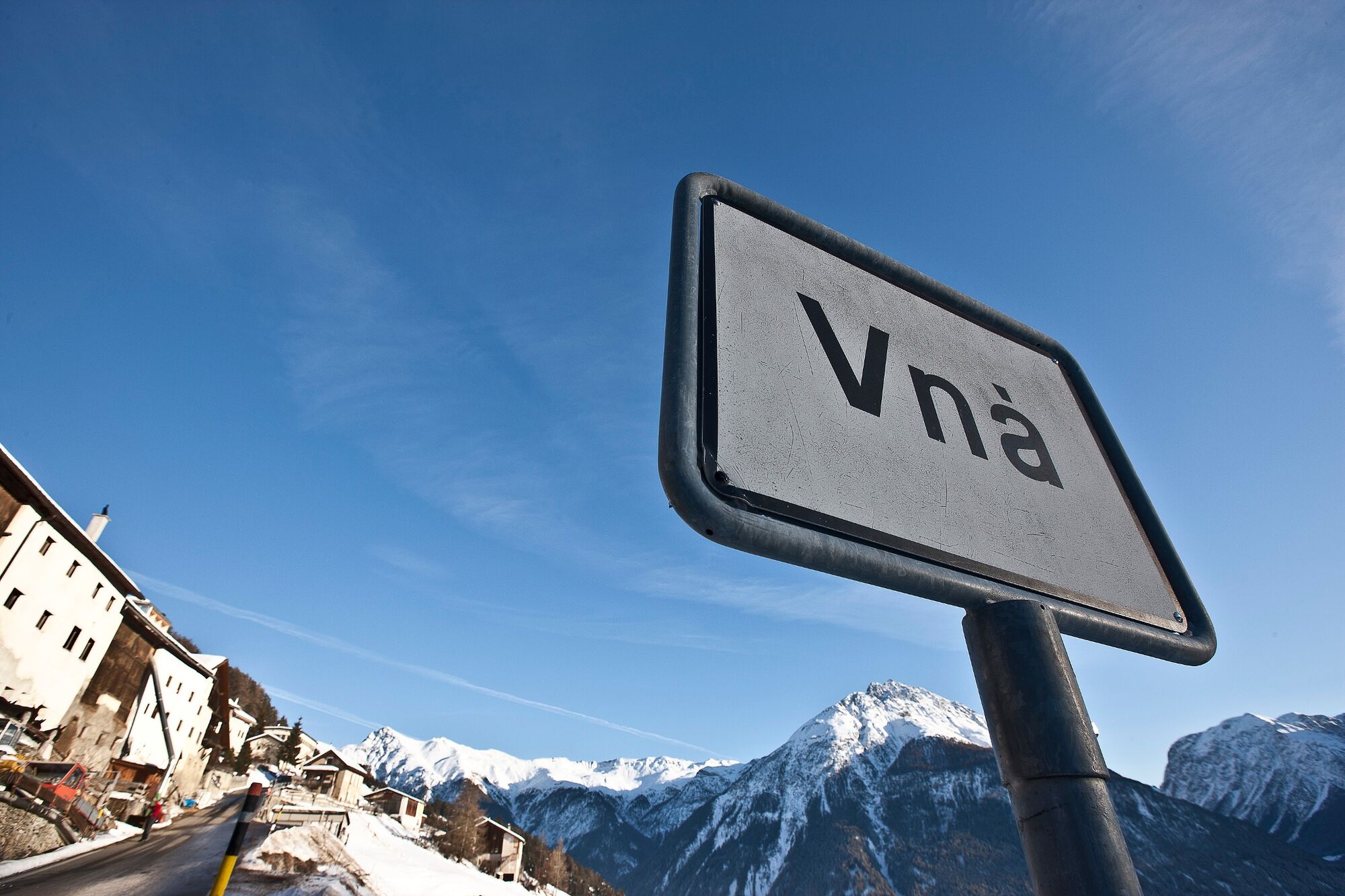
Ramosch (1.236 m)Vnà5,2 kmBaselgia refuormada da Vnà5,4 kmRamosch (1.236 m)7,0 km
- Cel mai bun sezon
-
augsepoctnovdecianfebmaraprmaiiuniul
- Cel mai înalt punct
- 1.737 m
- Destinație
-
Ramosch
- Profil de elevație
-
 © outdooractive.com
- Autor
-
Turul Ramosch – Tulai – Vnà– Ramosch este utilizat de outdooractive.com furnizat.
GPS Downloads


Informaţii generale
Promițător
Mai multe tururi în regiuni
-
Vinschgau
72
-
Engadin Scuol Zernez
29
-
Ramosch-Vnà
11