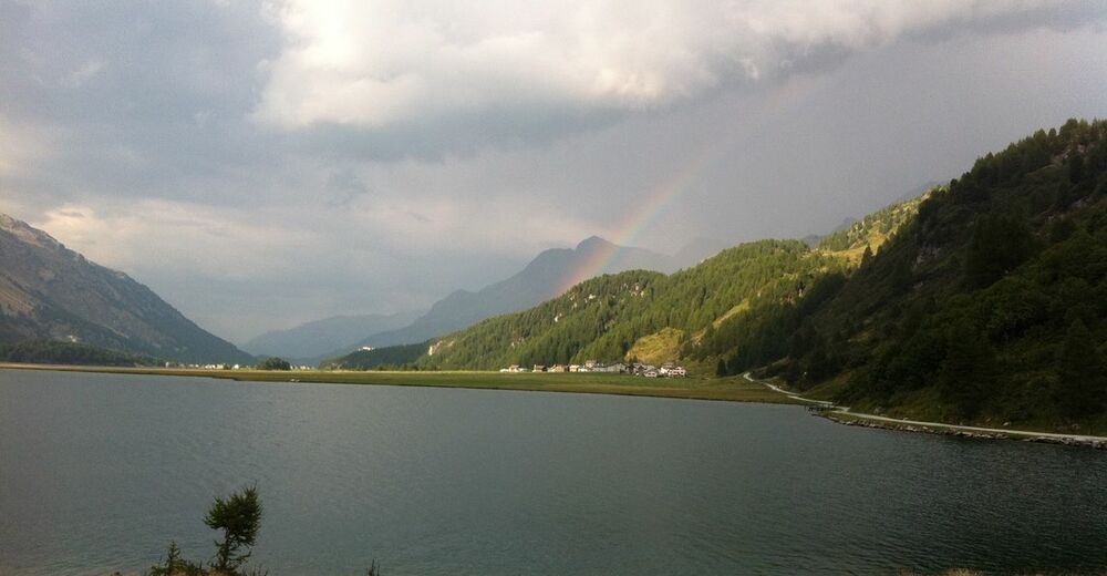
© Engadin Tourismus AG - Sils Tourismus
© Engadin Tourismus AG - Sils Tourismus


- Scurtă descriere
-
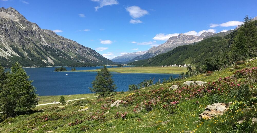
Varied E-mountain bike tour along the unique Lake Sils
- Greutăţi
-
mediu
- Evaluare
-
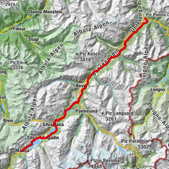
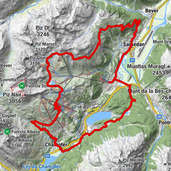
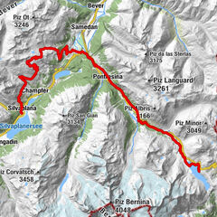
- Ruta
-
Sils im Engadin (1.803 m)Christ-König-Kirche0,1 kmCrastas Dadour0,2 kmCrastas0,2 kmCrastas Dadains0,3 kmBraschunaing0,9 kmChesa Pool2,0 kmPlatta2,1 kmPetpreir4,0 kmPlan Cuncheta7,4 kmCresta8,2 kmKirche St. Peter und Paul8,9 kmSchweizerhaus9,0 kmMaloja Posta9,1 kmMaloja (1.809 m)10,4 kmLa Motta11,1 kmPlan Cuncheta12,0 kmIsola (See) (1.810 m)13,8 kmIsola (1.811 m)14,4 kmReformierte Kirche17,7 kmSils im Engadin (1.803 m)17,9 km
- Cel mai bun sezon
-
ianfebmaraprmaiiuniulaugsepoctnovdec
- Cel mai înalt punct
- 2.002 m
- Destinație
-
Sils Maria
- Profil de elevație
-
 © outdooractive.com


- Autor
-
Turul Sils - Maloja - Isola - Sils (E-Mountainbike) este utilizat de outdooractive.com furnizat.
GPS Downloads


Informaţii generale
Oprire pentru băuturi răcoritoare
Cultural/Istoric
Flora
Promițător
Mai multe tururi în regiuni
-
Veltlin / Valtellina
48
-
Engadin St. Moritz
60
-
Isola
20