© Engadin Tourismus AG - Chatrigna Signorell

© Engadin Tourismus AG - Chatrigna Signorell


© Engadin Tourismus AG - Chatrigna Signorell

© Engadin Tourismus AG - Chatrigna Signorell


- Scurtă descriere
-
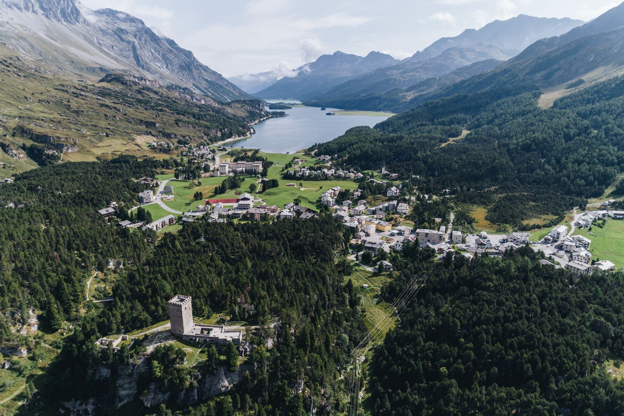
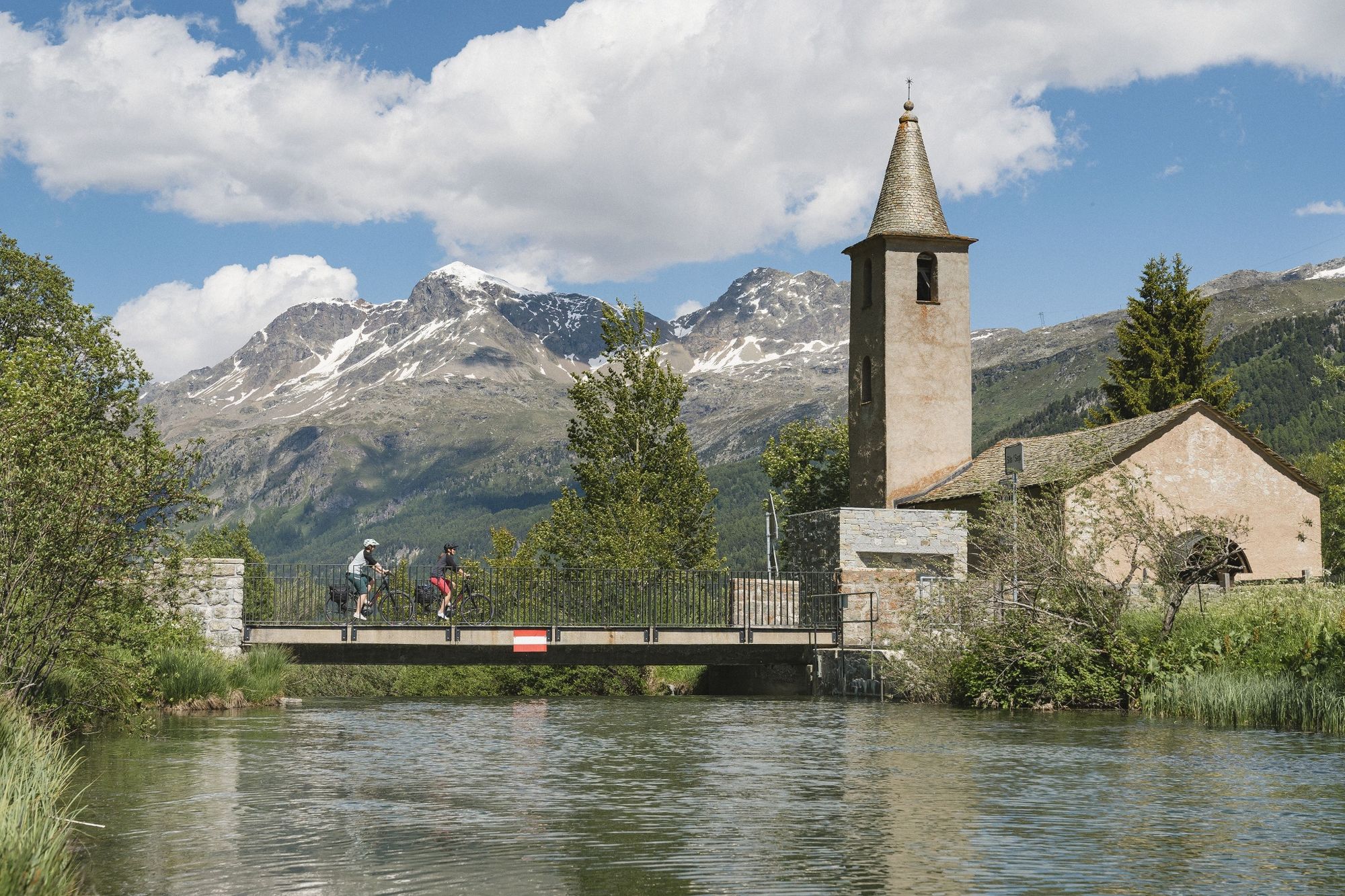
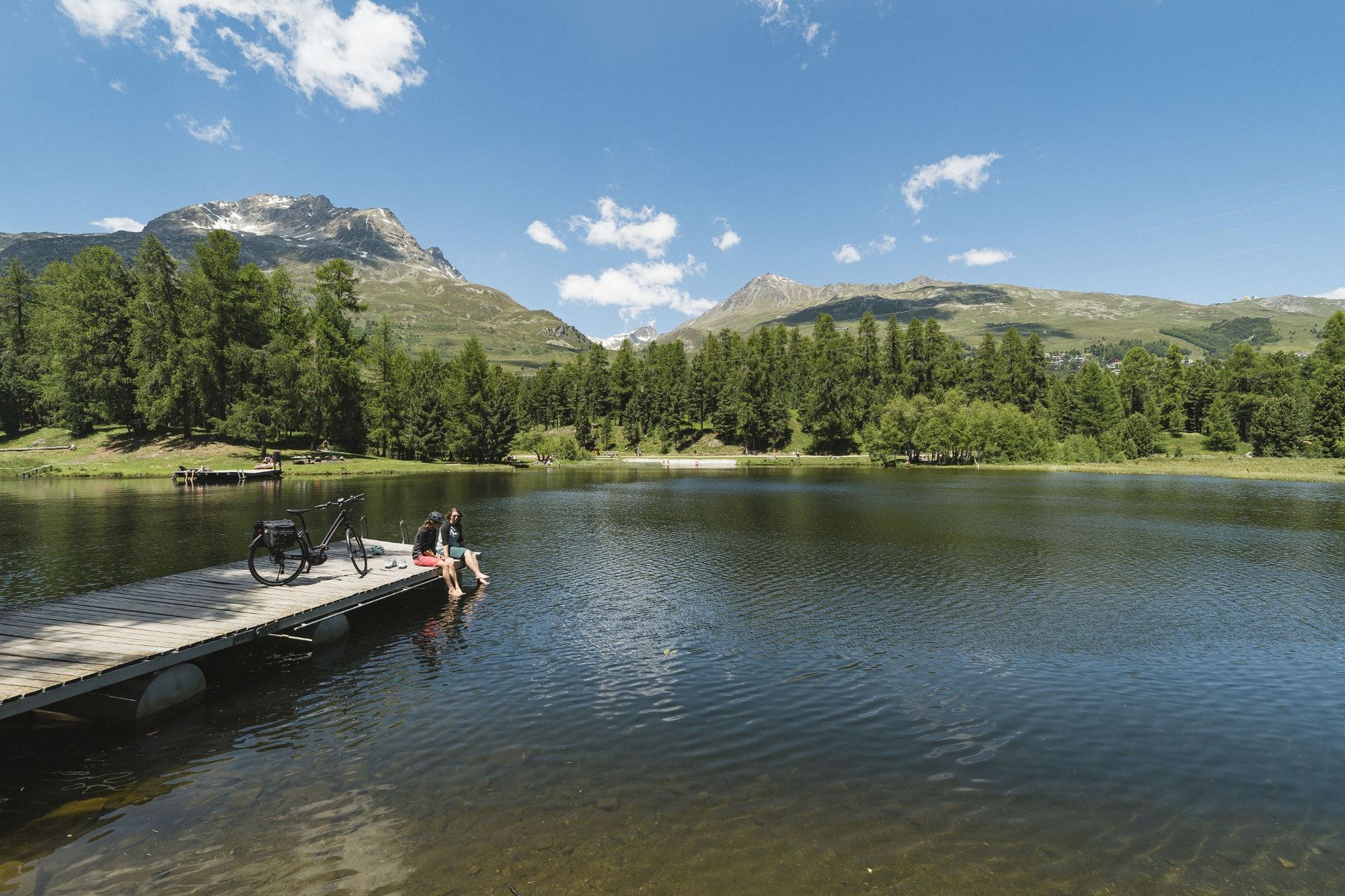
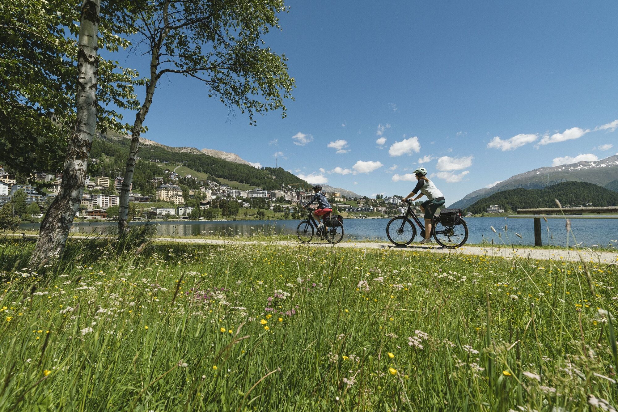
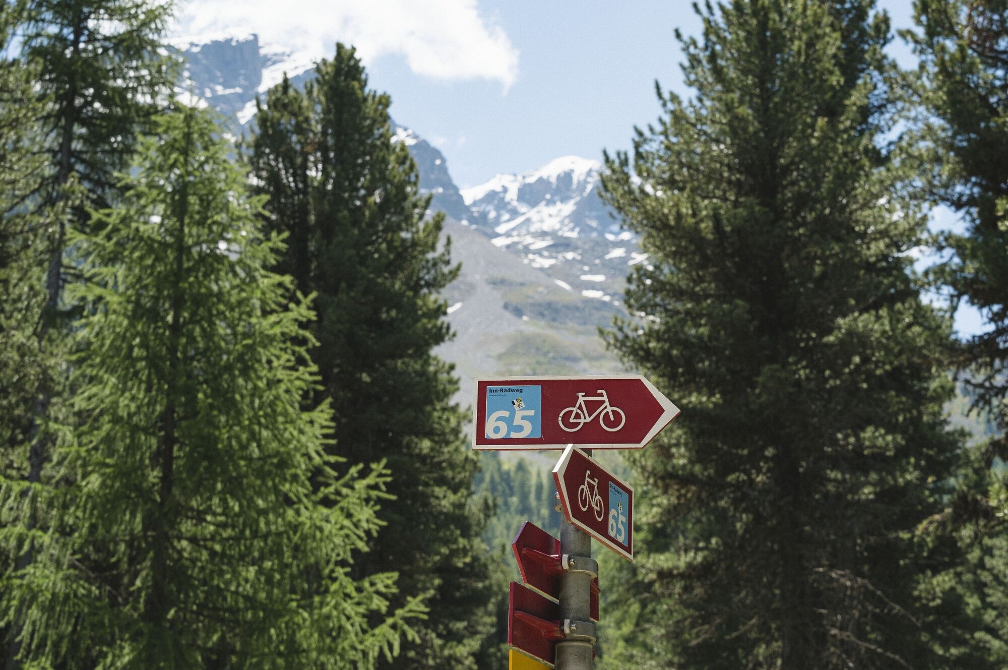
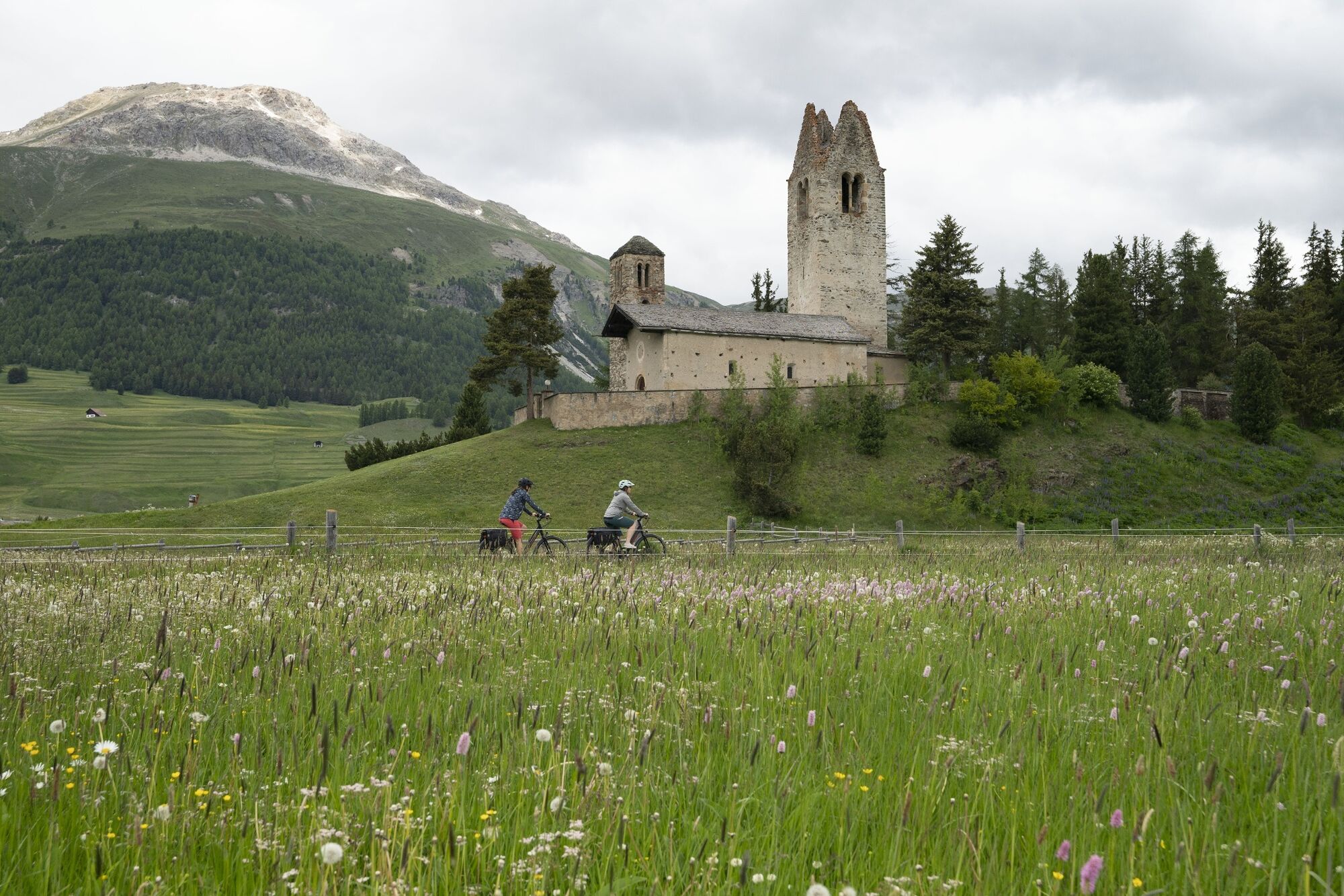
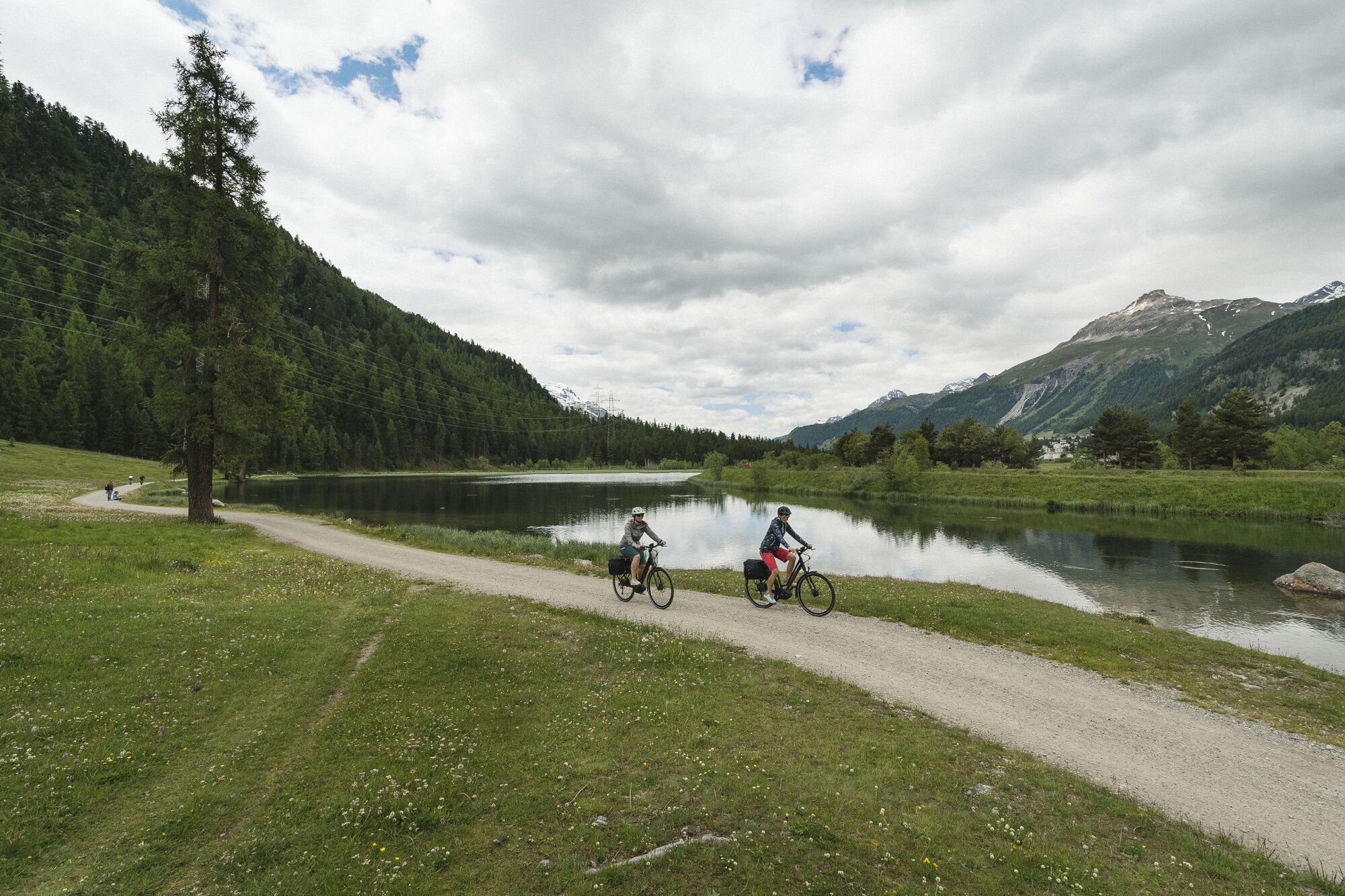
Varied stage through a unique mountain landscape along the young Inn.
- Greutăţi
-
mediu
- Evaluare
-
- Ruta
-
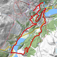
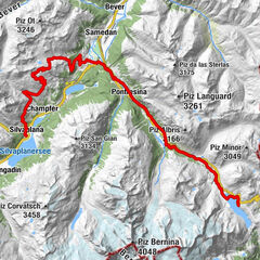
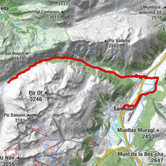
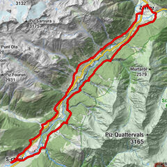
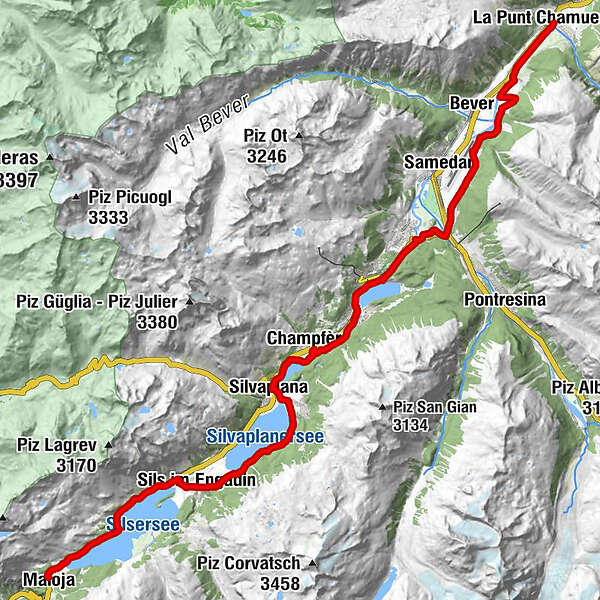
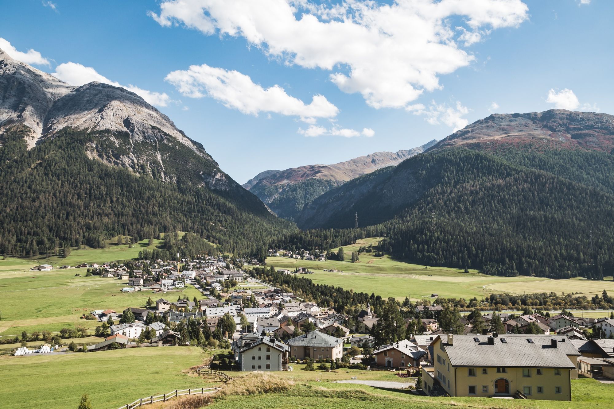
Maloja (1.809 m)Maloja PostaChiesa Evangelica Maloja0,3 kmCapolago0,7 kmSplüga2,0 kmPlaun da Lej (See) (1.305 m)3,3 kmMurtaröl3,4 kmPlaun da Lej3,4 kmClos6,2 kmSan Lurench6,3 kmDotturas6,5 kmMutals6,6 kmPizs6,6 kmSils im Engadin (1.803 m)7,0 kmSuot Crastas7,0 kmCrastas Dadour7,3 kmPas-chs7,4 kmSuot l'Ova7,5 kmDavous Sellas7,5 kmSurlej12,0 kmSilvaplana (1.815 m)13,0 kmChampfèr (1.825 m)15,6 kmSankt Moritz Bad18,2 kmSankt Moritz (1.822 m)19,3 kmCelerina (1.714 m)21,8 kmPiste 2127,0 kmLa Punt Chamues-ch (1.687 m)31,9 kmBurdun33,0 kmLa Punt33,1 km
- Cel mai bun sezon
-
ianfebmaraprmaiiuniulaugsepoctnovdec
- Cel mai înalt punct
- 1.812 m
- Destinație
-
La Punt Chamues-ch
- Profil de elevație
-
 © outdooractive.com


- Autor
-
Turul Inn cycling route: stage 1 Maloja - La Punt este utilizat de outdooractive.com furnizat.
GPS Downloads


Informaţii generale
Oprire pentru băuturi răcoritoare
Cultural/Istoric
Promițător
Mai multe tururi în regiuni