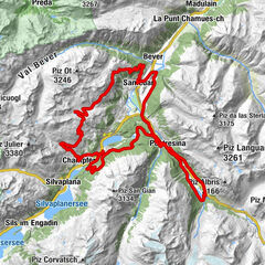
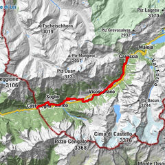
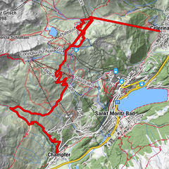
001.04 Alpine Bike Etappe 4 St. Moritz - Bivio

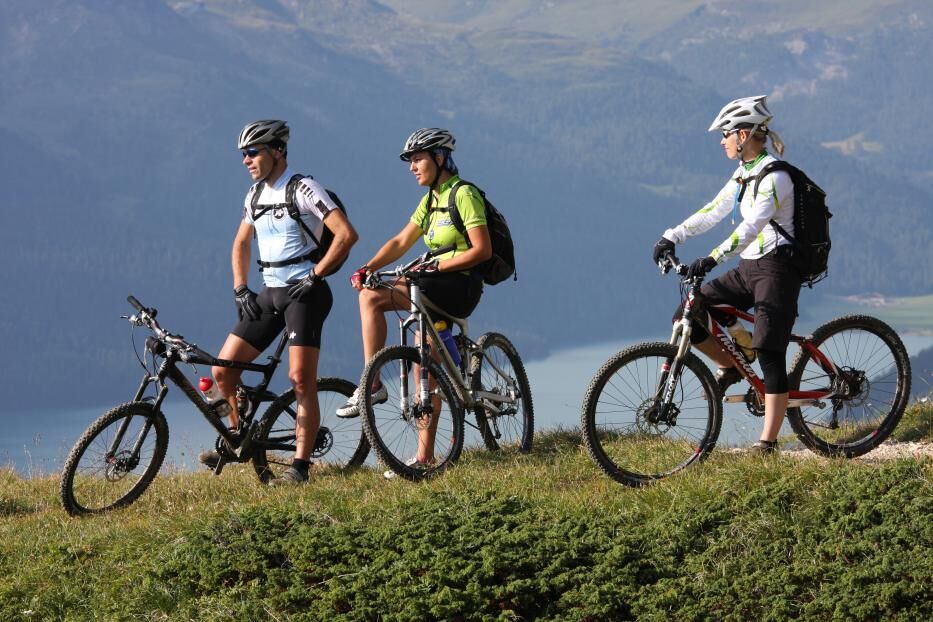
Mountainbike

© Engadin Tourismus AG - Cordula Seiler

© Engadin Tourismus AG - Cordula Seiler

© Engadin Tourismus AG - Cordula Seiler

© Engadin Tourismus AG - Cordula Seiler


- Scurtă descriere
-
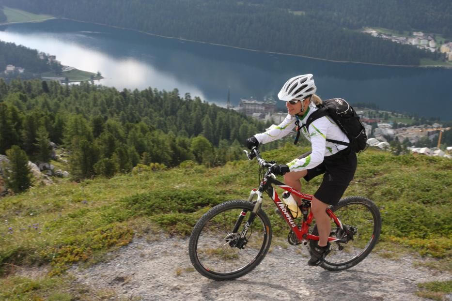
Scenic, unsurfaced trail alongside the Upper Engadine lakes, lovely single trail with wide views above Isola. From Val Bregaglia, an old mule trail leads over the Septimerpass, demanding;even the best bikers give their all. Carrying passages unavoidable
- Greutăţi
-
mediu
- Evaluare
-
- Ruta
-
Surlej4,5 kmAlp Prasüra11,6 kmSils im Engadin (1.803 m)12,4 kmBraschunaing12,6 kmChesa Pool13,6 kmPlatta13,8 kmPetpreir15,7 kmPlan Cuncheta19,2 kmCresta20,0 kmLa Motta20,2 kmKirche St. Peter und Paul20,7 kmSchweizerhaus20,7 kmMaloja Posta20,7 kmMaloja (1.809 m)20,8 kmCranch dal Malögia22,0 kmPlan Malögia (1.585 m)23,7 kmPra da Pila24,0 kmCavril (1.551 m)24,5 kmCasaccia (1.458 m)26,0 kmSeptimerhütte31,6 kmSeptimer Pass (2.310 m)32,0 kmFumia36,3 kmFranca's Beizli - Besenbeiz36,3 kmPrevostign36,7 kmNagrign36,8 kmTgavretga37,4 kmCurtinfess38,5 kmBivio (1.769 m)38,6 kmReformierte Kirche Bivio38,7 km
- Cel mai bun sezon
-
ianfebmaraprmaiiuniulaugsepoctnovdec
- Cel mai înalt punct
- 2.318 m
- Destinație
-
Bivio
- Profil de elevație
-
 © outdooractive.com

- Autor
-
Turul 001.04 Alpine Bike Etappe 4 St. Moritz - Bivio este utilizat de outdooractive.com furnizat.
GPS Downloads


Informaţii generale
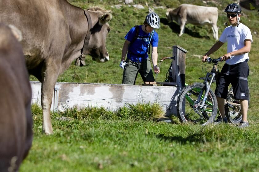
Oprire pentru băuturi răcoritoare
Promițător
Mai multe tururi în regiuni
-
Veltlin / Valtellina
204
-
Engadin St. Moritz
171
-
Isola
51