


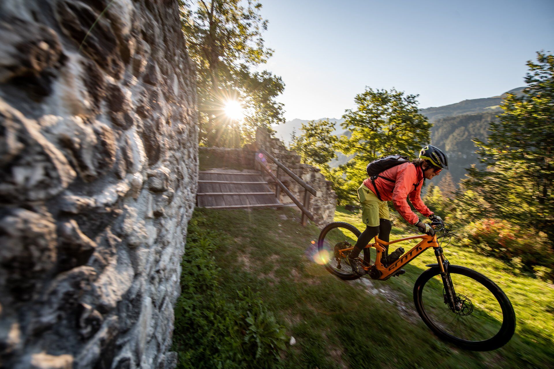
Bike figure 8 from Brigels via Ilanz and Obersaxen
Nivelul de dificultate: S1


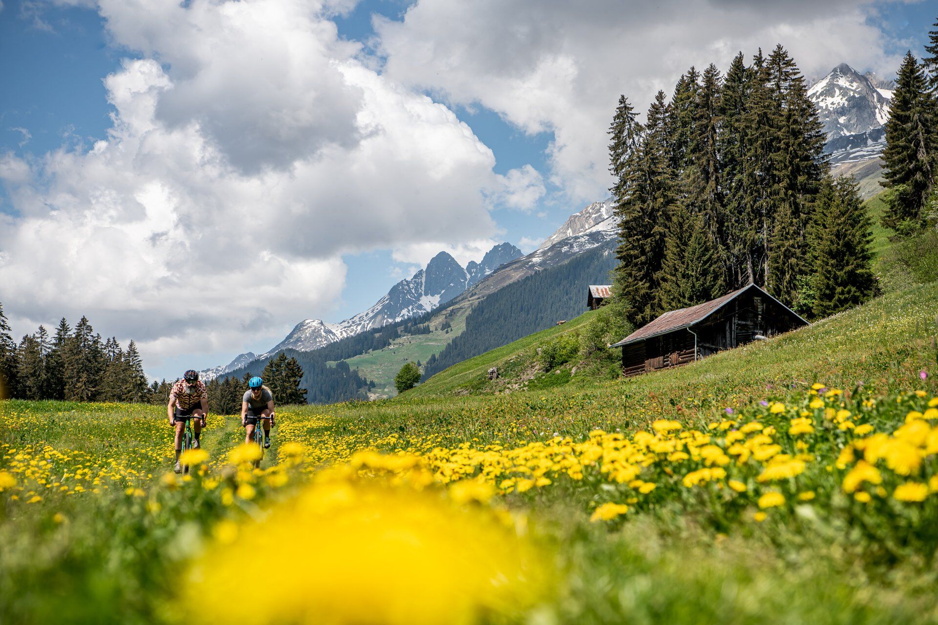
Fotografii ale utilizatorilor noștri
At the start, warm up gently from Brigels through the cool forest of "Fontauna Freida", which means "cold spring". You'll conveniently take a first short single trail along the way. And now you speed through...
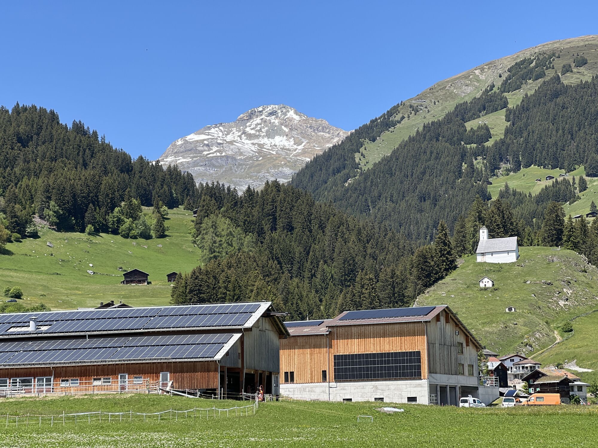
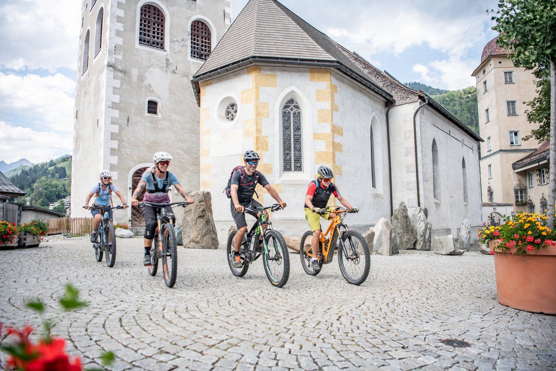
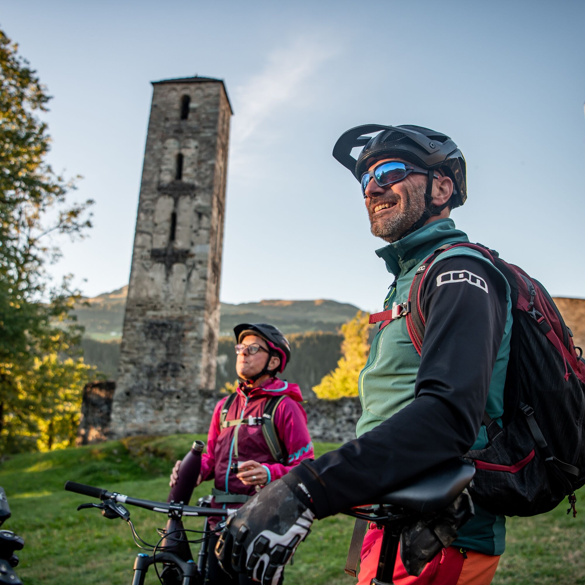
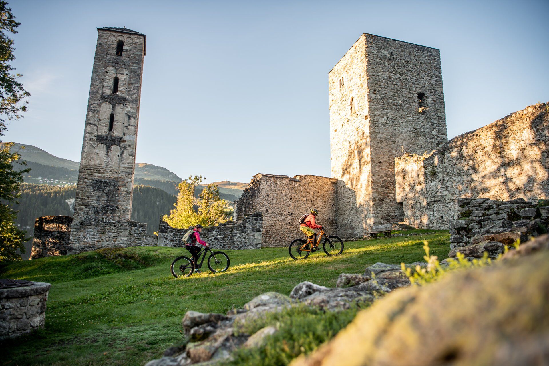
At the start, warm up gently from Brigels through the cool forest of "Fontauna Freida", which means "cold spring". You'll conveniently take a first short single trail along the way. And now you speed through the village of Waltensburg with its charming wooden houses and soon turn towards Munt Sogn Gieri. The beautifully situated castle ruin is definitely worth a detour of 100 meters. Fun and relatively easy, a wide trail now leads down to Rueun. The entertaining continuation over gravel paths and short trails takes you to the town of Ilanz. Here you can refresh yourself and pedal through the old walls of the old town.
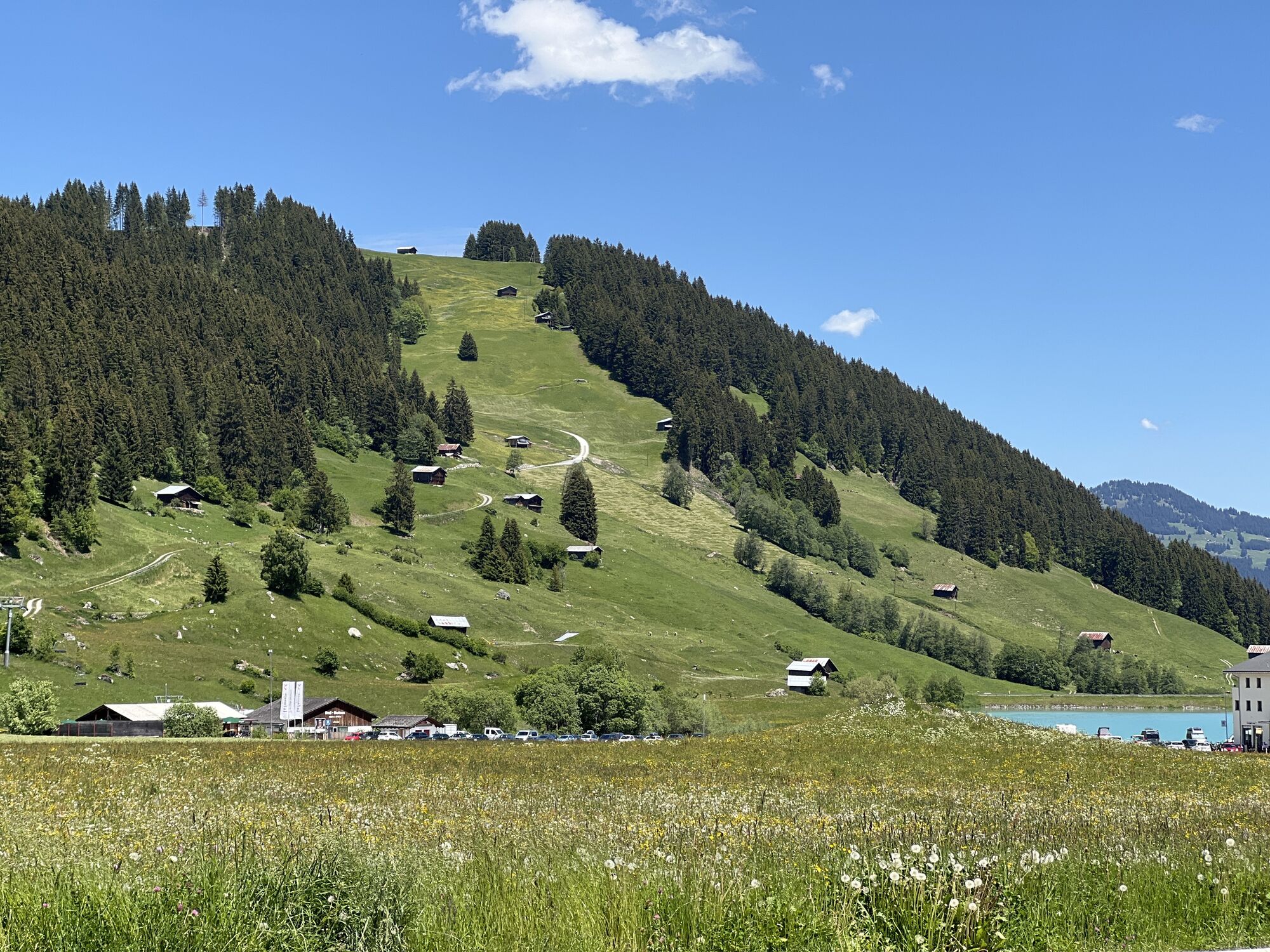
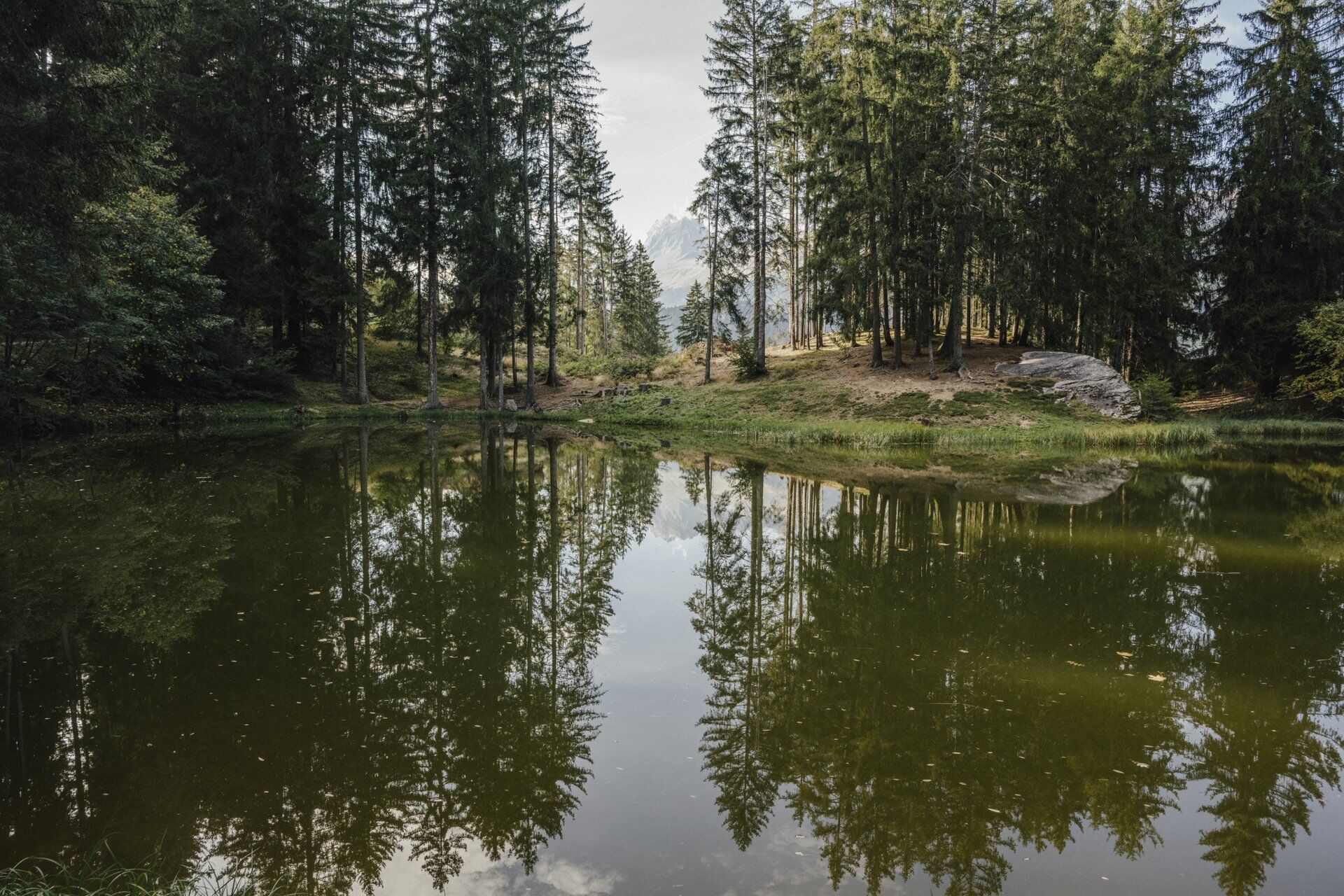
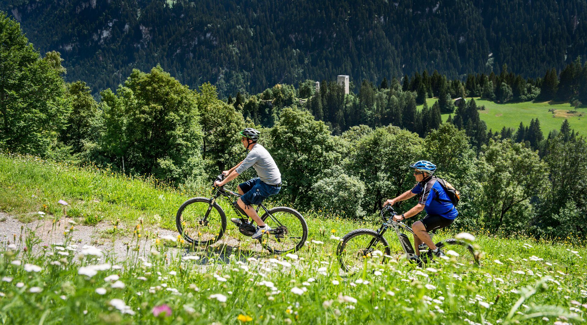
Those who had a downhill ride must go back up. Take the old Flonderstrasse and reach the terrace of Obersaxen. From Valata we want to show you the Dachlisee. It lies idyllic in the forest and invites you to take a rest. Then continue up towards Obersaxen Meierhof. At Markal, you now turn off onto a rough forest road that becomes narrower and narrower. This trail gets faster and faster, although it was not specially developed for biking. It's just great fun.
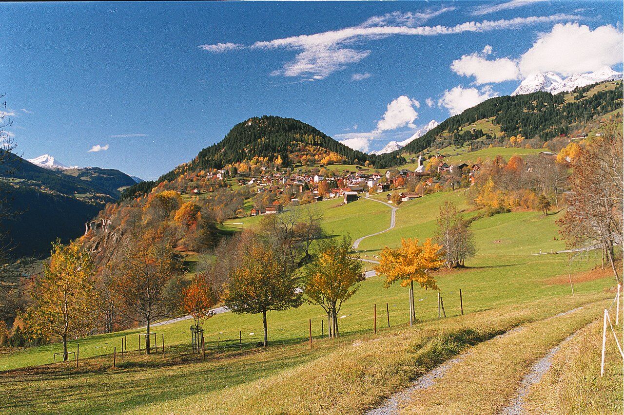
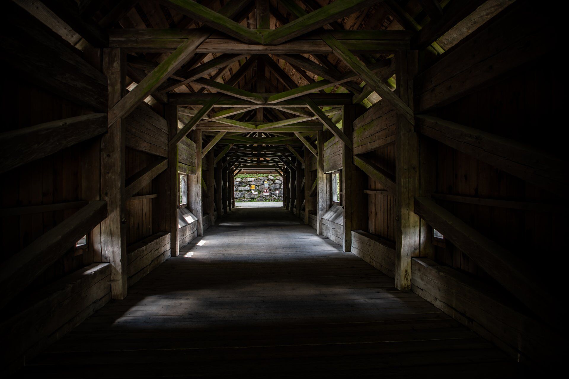
On the next approximately two kilometers on the Polenweg, resting is included. The Rhine lies by the wooden bridge of Rueun at 733 meters above sea level. The destination Brigels is at 1257 meters above sea level. You overcome the elevation on side roads and forest roads with alternating inclines.

Brigels - Fontauna Freida - Waltensburg - Munt Sogn Gieri - Rueun - Schnaus - Ilanz - old Flonderstrasse - Flond - Dachlisee - Markal - Polenweg - Rueun - Waltensburg - Migliè - Brigels
MTB, helmet, gloves, cycling shoes, glasses, rain and sun protection, drink, repair kit, first aid kit
If the weather conditions are uncertain, you should not start the route. Weather changes in the mountains are common. If a rain front or similar approaches during the route, you should turn back in good time.
On the A13 to Reichenau, then on main road 19 via Flims to Tavanasa and then up to Brigels
From the canton capital of Grisons, Chur, the Rhaetian Railway takes you through the spectacular Rhine Gorge to Ilanz and further to Tavanasa. Then take the post bus line 90.461 Tavanasa - Brigels to the Breil/Brigels, posta stop.
Parking is available at the parking lots of the valley station of the Brigels mountain lifts
S1
Those traveling with an e-bike can recharge at two charging stations in Ilanz.
Those who take the post bus from Ilanz to Flond, Valata, or Affeier can save between 380 and 590 meters of elevation.
Camere web ale turului
Tururi populare în vecinătate
-
4,5
4-lake hike
mediuExcursie 12,8 km -
4,7
The riverside trail: Trutg dil Flem
mediuTraseu tematic 13,5 km -
4,7
Rhine Gorge Hike: Senda Ruinaulta (659)
luminăExcursie 9,39 km -
Piz Fess 2880m, der Stolze
greleExcursie 12,8 km -
5,0
High valley Val Frisal
mediuExcursie 11,3 km -
4,8
Rheinschlucht: From Ilanz to Versam into the heart of the Rheinschlucht
mediuExcursie 11,4 km -
4,3
Round trip hike Falera - Curnius - Alp Dadens - Falera
mediuExcursie 11,4 km -
5,0
Staderas - Conn - Rhein Gorge Ruinaulta-Staderas
mediuExcursie 19,8 km -
5,0
Rhine Gorge Circular Hike
mediuExcursie 11,4 km -
5,0
Hiking route Suspension Bridge Val da Tersnaus
mediuExcursie 3,24 km
Drumeții și urmărire


Nu ratați ofertele și inspirația pentru următoarea dvs. vacanță
Adresa dvs. de e-mail a fost adăugat la lista de corespondență.