
- Scurtă descriere
-
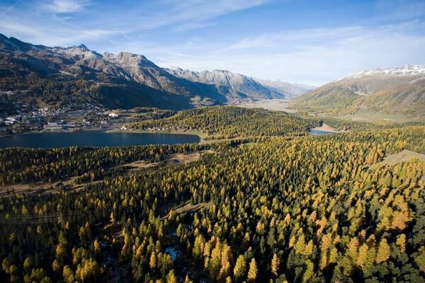
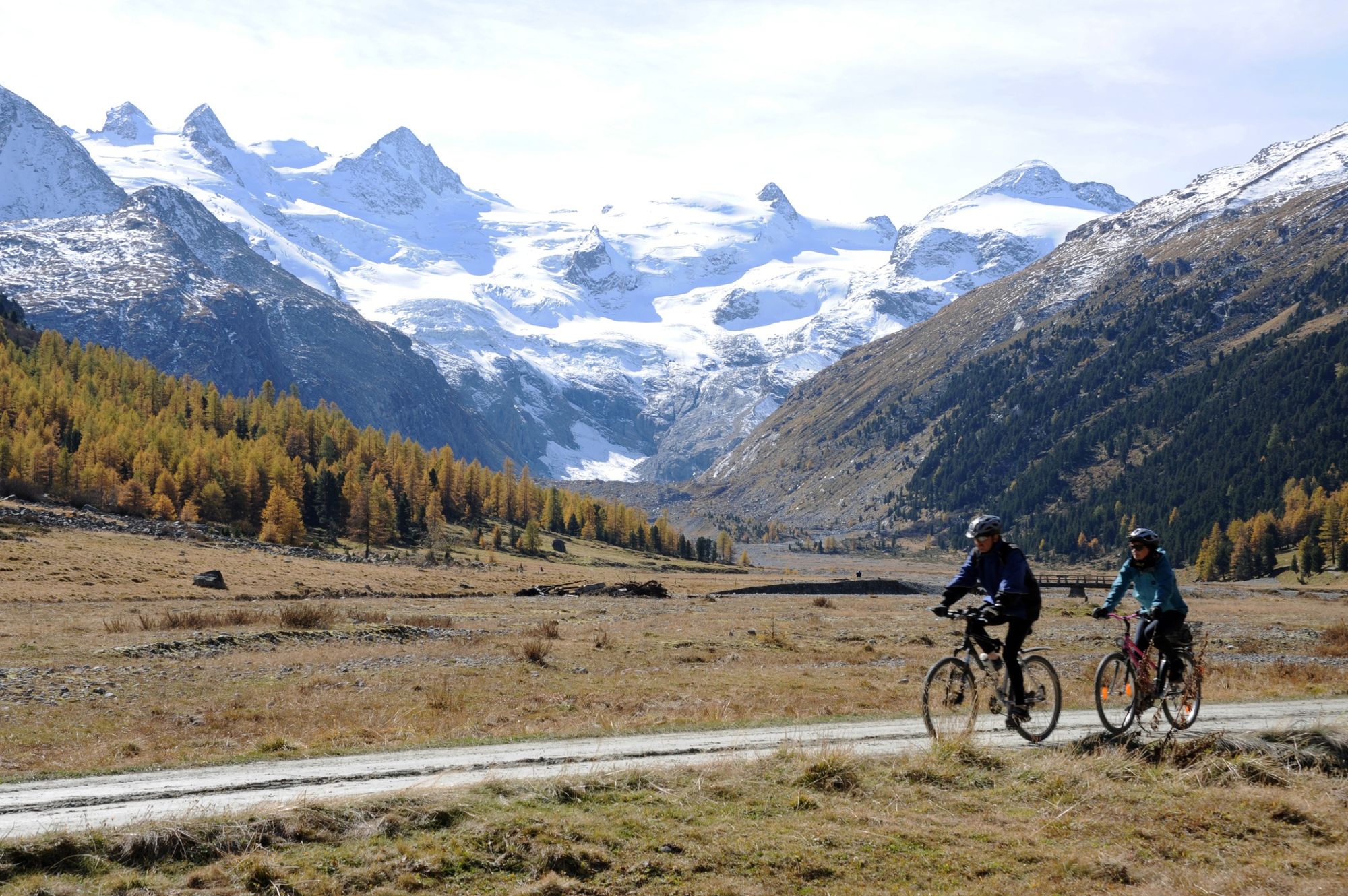
Not only is the Val Roseg regarded as one of the most beautiful side valleys in the Engadin, it is also easily accessible - either on foot or by mountain bike.
- Greutăţi
-
uşor
- Evaluare
-
- Ruta
-
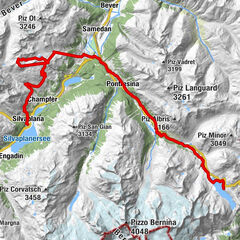
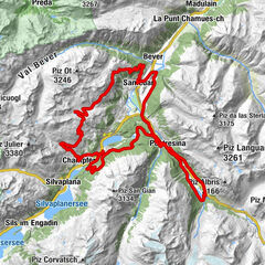
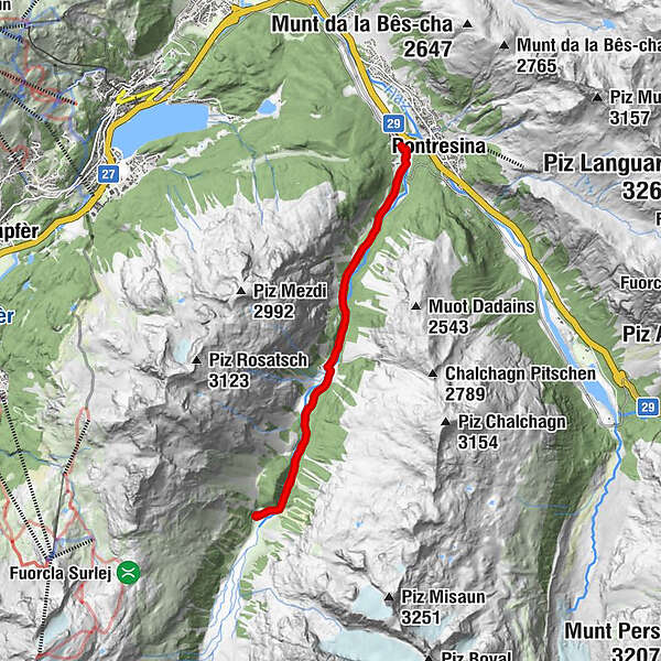
Pontresina (1.774 m)0,0 kmHotel Restaurant Roseg Gletscher6,8 kmPontresina (1.774 m)13,8 km
- Cel mai bun sezon
-
ianfebmaraprmaiiuniulaugsepoctnovdec
- Cel mai înalt punct
- 2.001 m
- Destinație
-
Pontresina, railway station
- Profil de elevație
-
 © outdooractive.com


- Autor
-
Turul Pontresina - Val Roseg - Pontresina este utilizat de outdooractive.com furnizat.
GPS Downloads


Informaţii generale
Oprire pentru băuturi răcoritoare
Promițător
Mai multe tururi în regiuni
-
Veltlin / Valtellina
204
-
Engadin St. Moritz
171
-
Pontresina
85