

© Arosa Lenzerheide - Arosa Tourismus

© Graubünden Ferien - Marco Hartmann

© Arosa Lenzerheide - Anina Flüeler

© Arosa Lenzerheide - Anina Flüeler

© Arosa Lenzerheide - Arosa Tourismus

© Arosa Lenzerheide - Arosa Tourismus


- Scurtă descriere
-
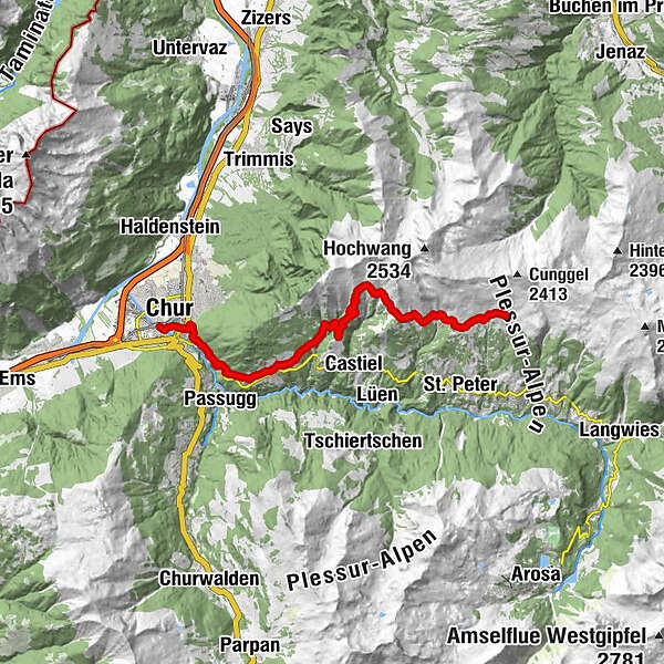
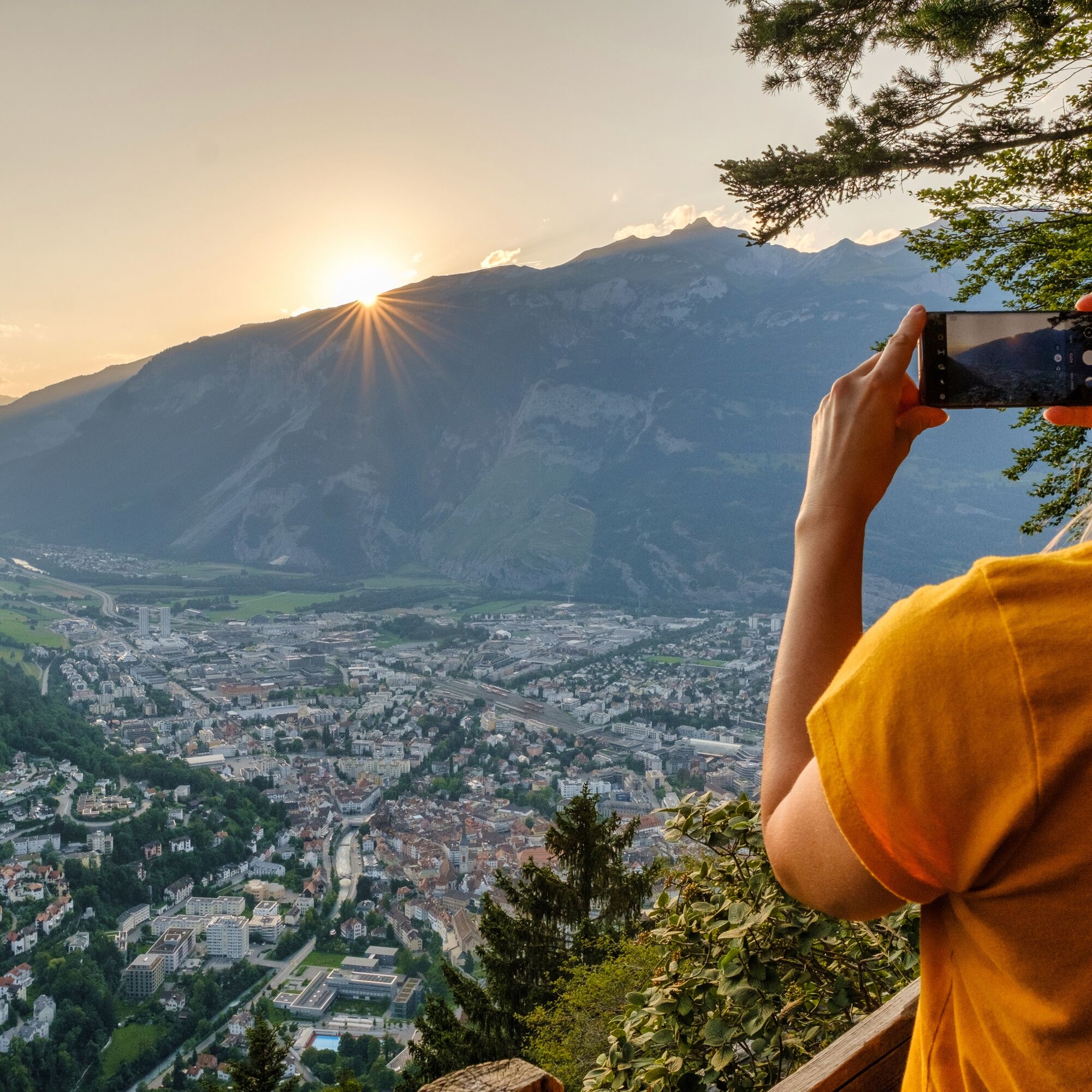
Unique alpine flora, wild ravines and mountain forests: The last stage of the Schanfigger Höhenweg is mainly characterised by the descent to Chur, which is a tough one with 1,500 metres of descent and a length of 15 km.
- Greutăţi
-
greu
- Evaluare
-
- Ruta
-
Skihaus Hochwang (1.958 m)0,0 kmBargun (1.774 m)3,4 kmLafet (1.856 m)4,5 kmHütta6,5 kmOber Platta6,7 kmZwüschet Platta6,9 kmBüel7,2 kmReformierte Kirche13,2 kmMaladers13,4 kmChisgruob13,9 kmTumma14,3 kmBrandacker14,7 kmSt. Luzius16,1 kmOrthodox Parish "St. Pious Parascheva"16,1 kmRegulakirche17,1 kmChur (593 m)17,6 km
- Cel mai bun sezon
-
ianfebmaraprmaiiuniulaugsepoctnovdec
- Cel mai înalt punct
- 1.956 m
- Destinație
-
Chur
- Profil de elevație
-
 © outdooractive.com


- Autor
-
Turul Schanfigger Höhenweg, 6th route, Hochwang - Chur este utilizat de outdooractive.com furnizat.
GPS Downloads


Informaţii generale
Oprire pentru băuturi răcoritoare
Sfat din interior
Promițător
Mai multe tururi în regiuni
-
Heidiland
2200
-
Schanfigg
835
-
Tschiertschen-Praden
251


