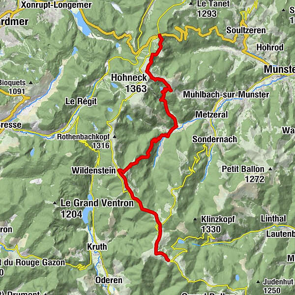
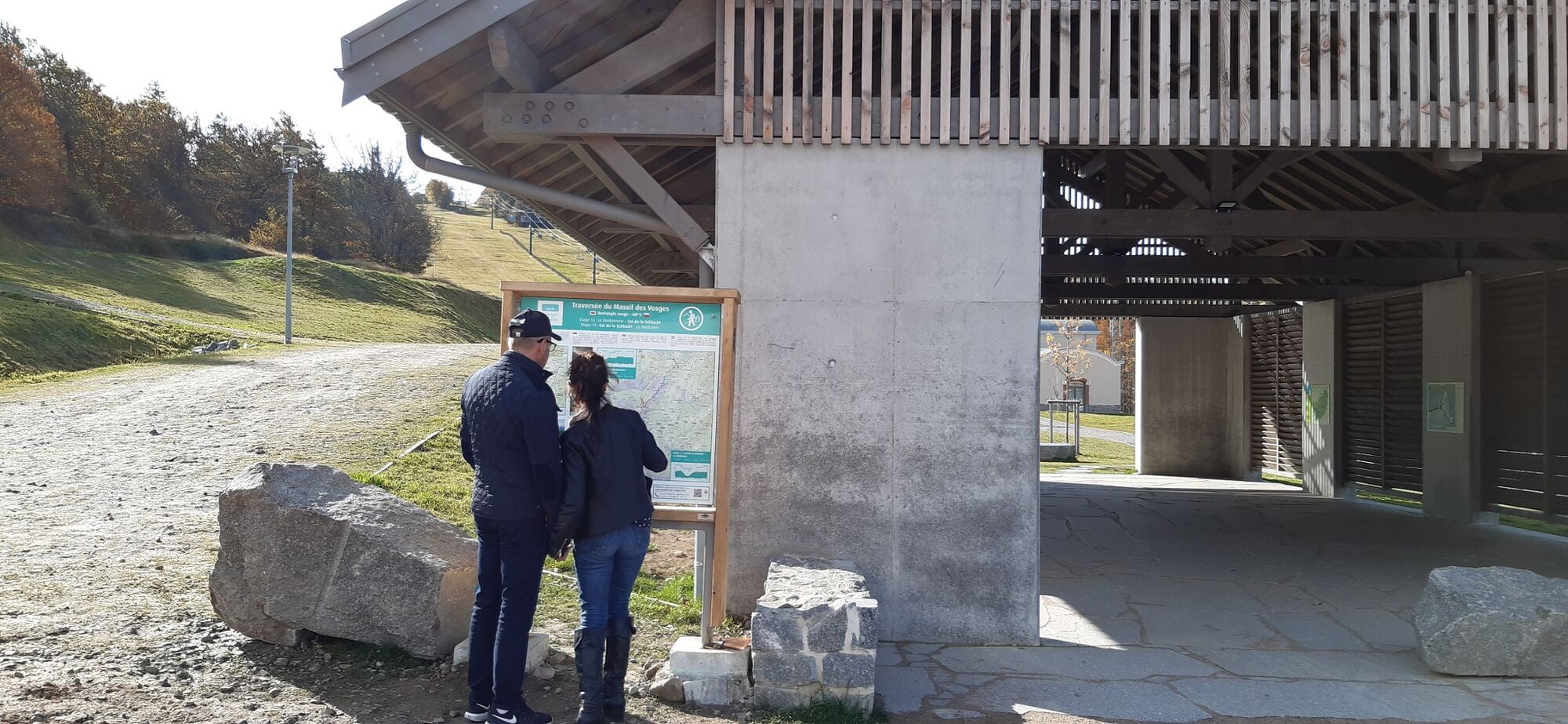
Crossing the Vosges Mountains - Stage 15 - Col de la Schlucht - Le Markstein


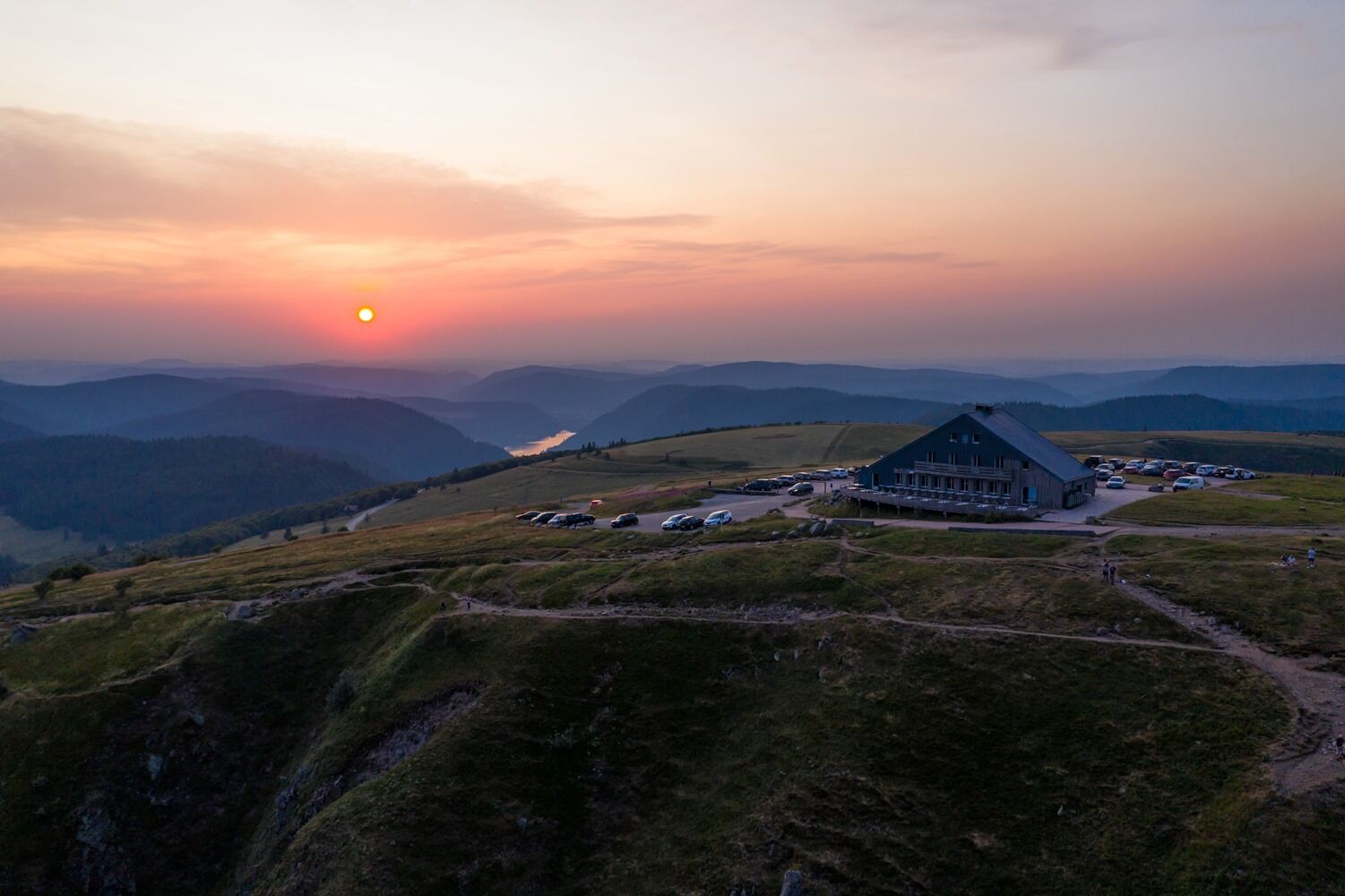
© Massif des Vosges - Office de Tourisme de la Vallée de Munster - Quentin GACHON

© Massif des Vosges - © INFRA

© Massif des Vosges - Guillaume BERNARD

© Unbekannt

© Massif des Vosges - -


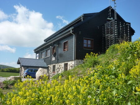
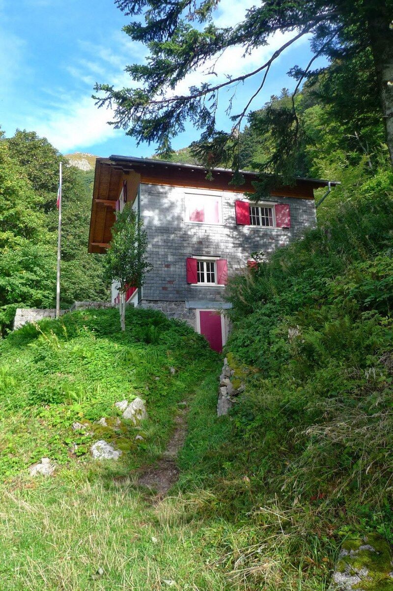
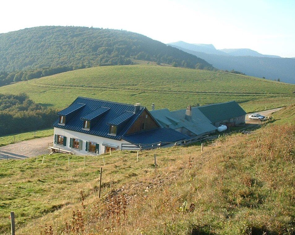
© Massif des Vosges - Refuge du Klein Hahnenbrunnen

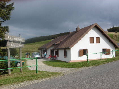
© Massif des Vosges - Ferme-auberge du Hahnenbrunnen


- Scurtă descriere
-
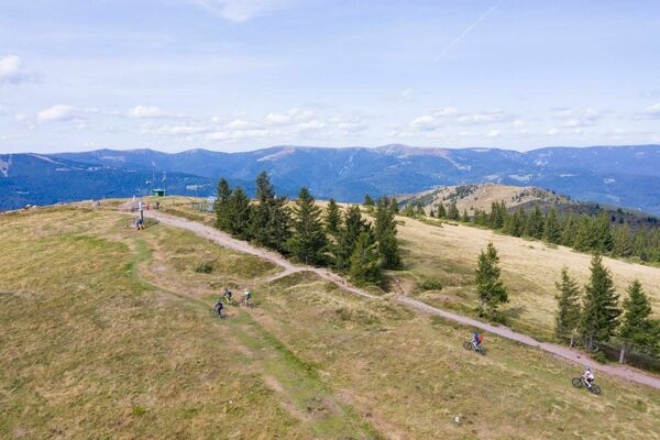
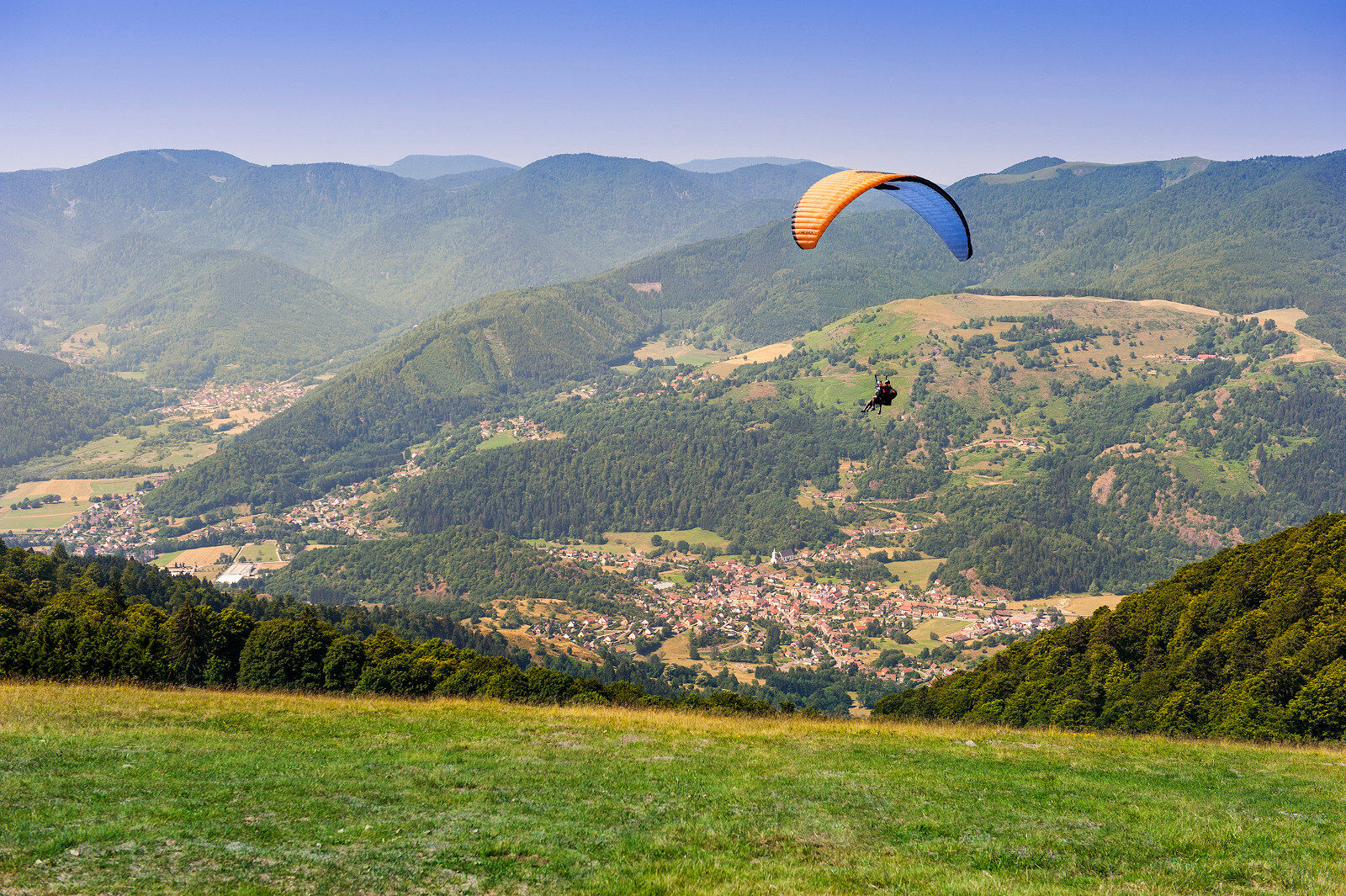
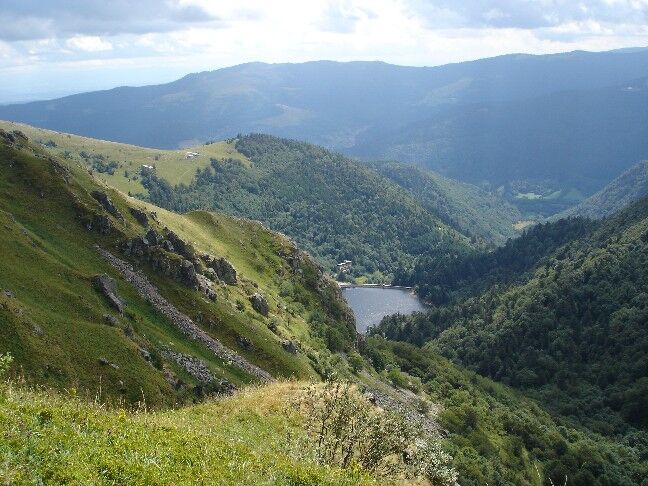
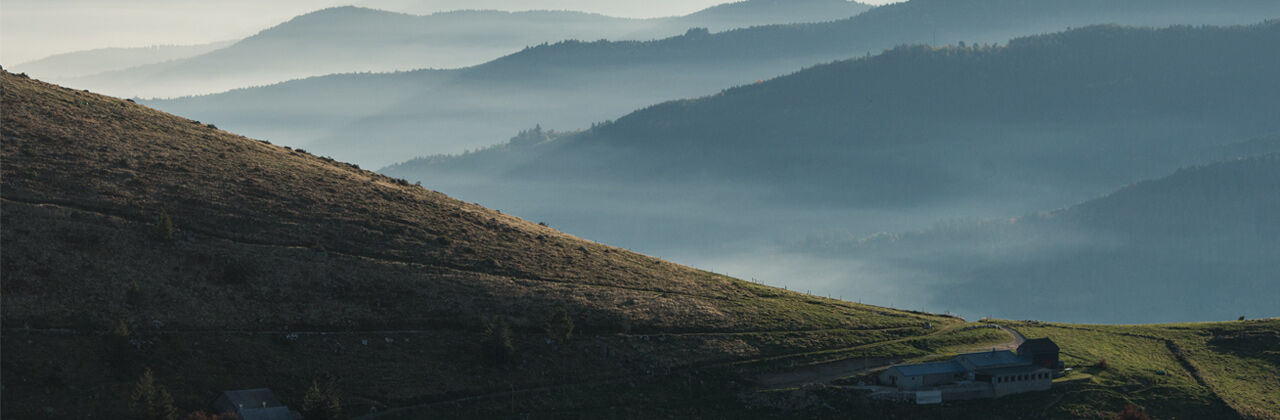
The trail alternates sections in the valley and on the ridge line. It crosses the Hohneck and runs along Schiessrothried Lake before heading down to the village of Mittlach and back up to the Crest Road on the way to Le Markstein. A summer and winter resort, Le Markstein has plenty of options for restaurants and lodging and well as numerous activities on offer.
- Greutăţi
-
mediu
- Evaluare
-
- Ruta
-
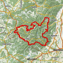
SchluchtHôtel - Restaurant du Chalet0,0 kmChapelle Notre-Dame-des-Chaumes0,1 kmHohneck (1.363 m)3,9 kmLe Sommet du Hohneck3,9 kmSibbaldia_Quelle4,3 kmSchiessroth5,5 kmFerme Auberge Schiessroth (1.126 m)5,8 kmCascade de la Wormsa8,7 kmWormsawasen9,2 kmBurg10,1 kmHôtel Restaurant Bar Valneige11,6 kmMittlach11,7 kmSchmelz11,8 kmSource du Weidenbach-Runz18,0 kmSchweisel (1.271 m)19,2 kmHundskopf (1.237 m)21,0 kmHolzrucken21,3 kmFontaine22,7 kmRefuge du Hahnenbrunnen22,7 kmHahnenbrunnen23,7 kmMarkstein26,9 km
- Cel mai bun sezon
-
ianfebmaraprmaiiuniulaugsepoctnovdec
- Cel mai înalt punct
- 1.344 m
- Destinație
-
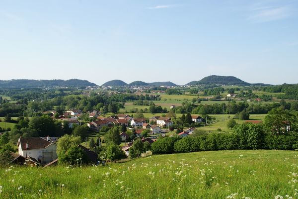
Markstein
- Profil de elevație
-
 © outdooractive.com
- Autor
-
Turul Crossing the Vosges Mountains - Stage 15 - Col de la Schlucht - Le Markstein este utilizat de outdooractive.com furnizat.
GPS Downloads


Informaţii generale
Oprire pentru băuturi răcoritoare
Climatul de vindecare
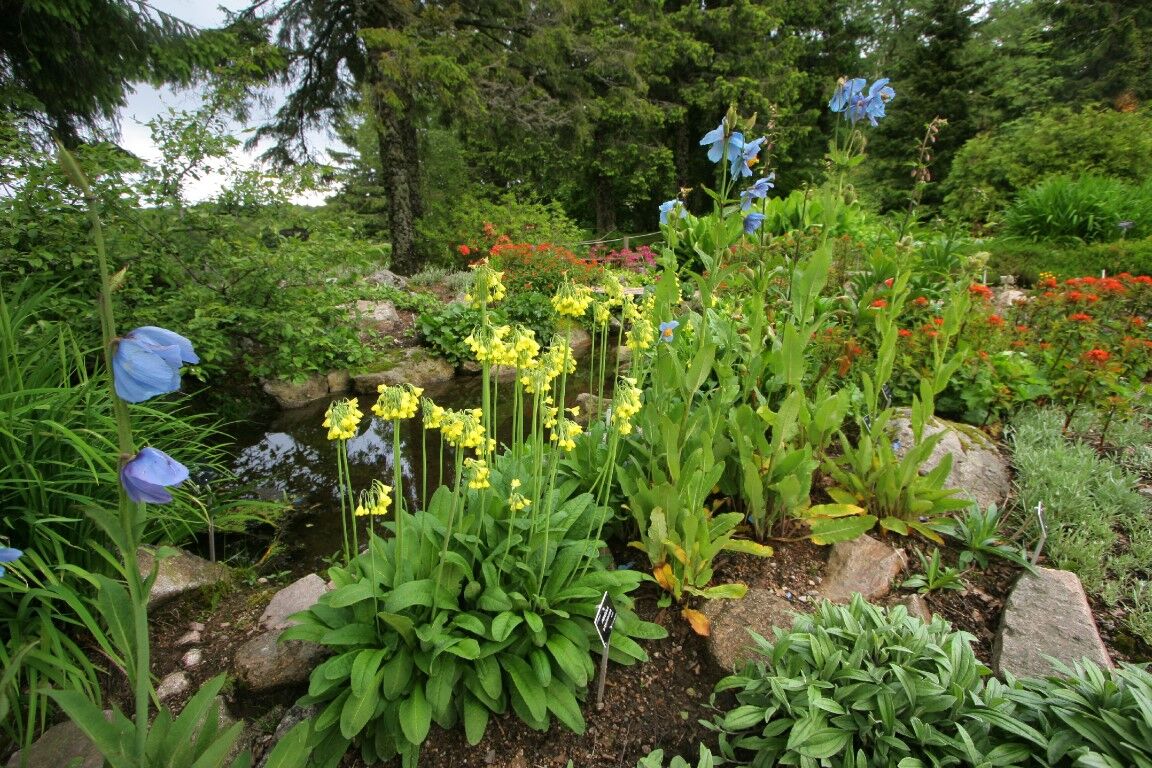
Flora
Fauna
Promițător
Mai multe tururi în regiuni
-
Haut-Rhin
1426
-
Vallée de Munster
978