© Turizem Dolina Soce - Trever Swelland
© Turizem Dolina Soce - Trever Swelland

© Turizem Dolina Soce - Trever Swelland

© Turizem Dolina Soce - Trever Swelland

© Turizem Dolina Soce - Trever Swelland

© Turizem Dolina Soce - Trever Swelland

© Turizem Dolina Soce - Trever Swelland

© Turizem Dolina Soce - Trever Swelland

- Scurtă descriere
-
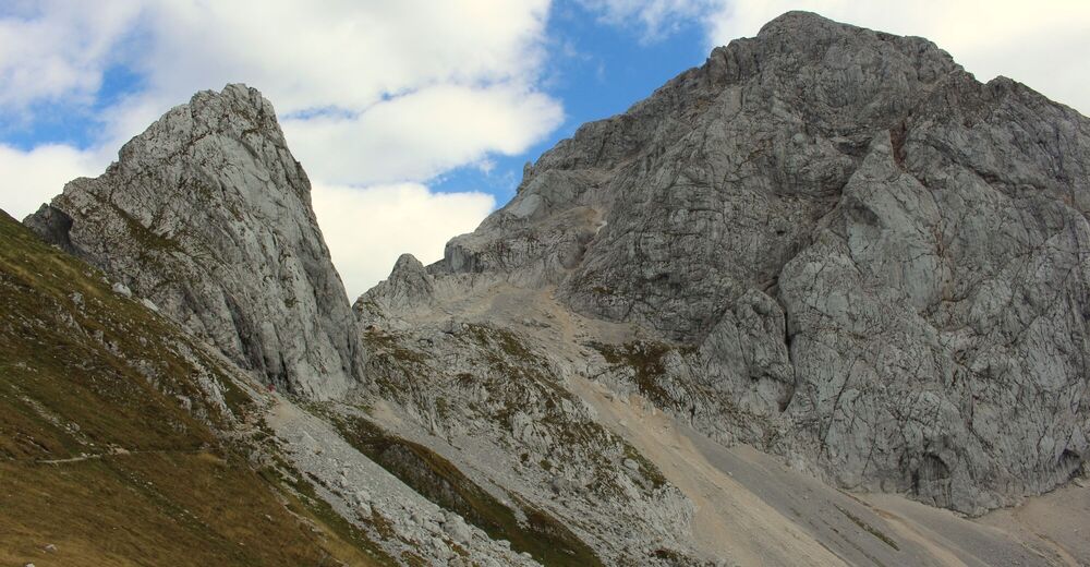
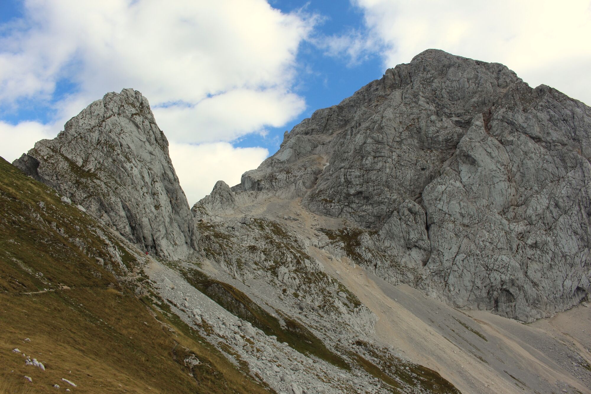
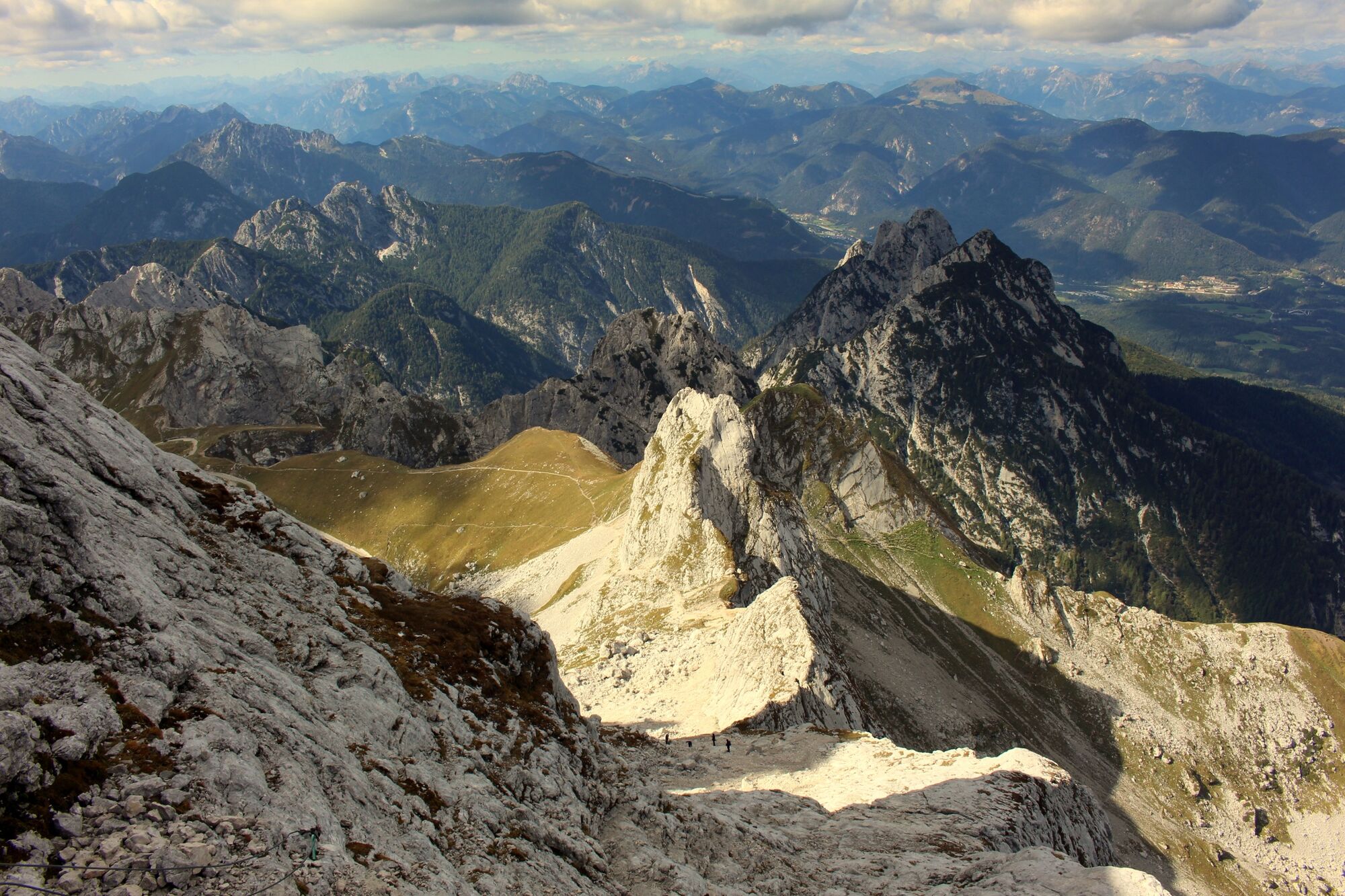
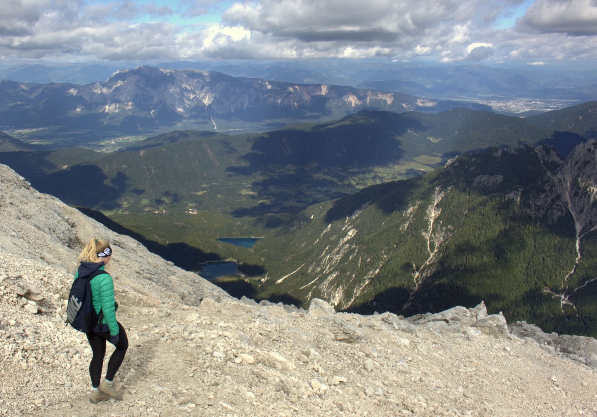
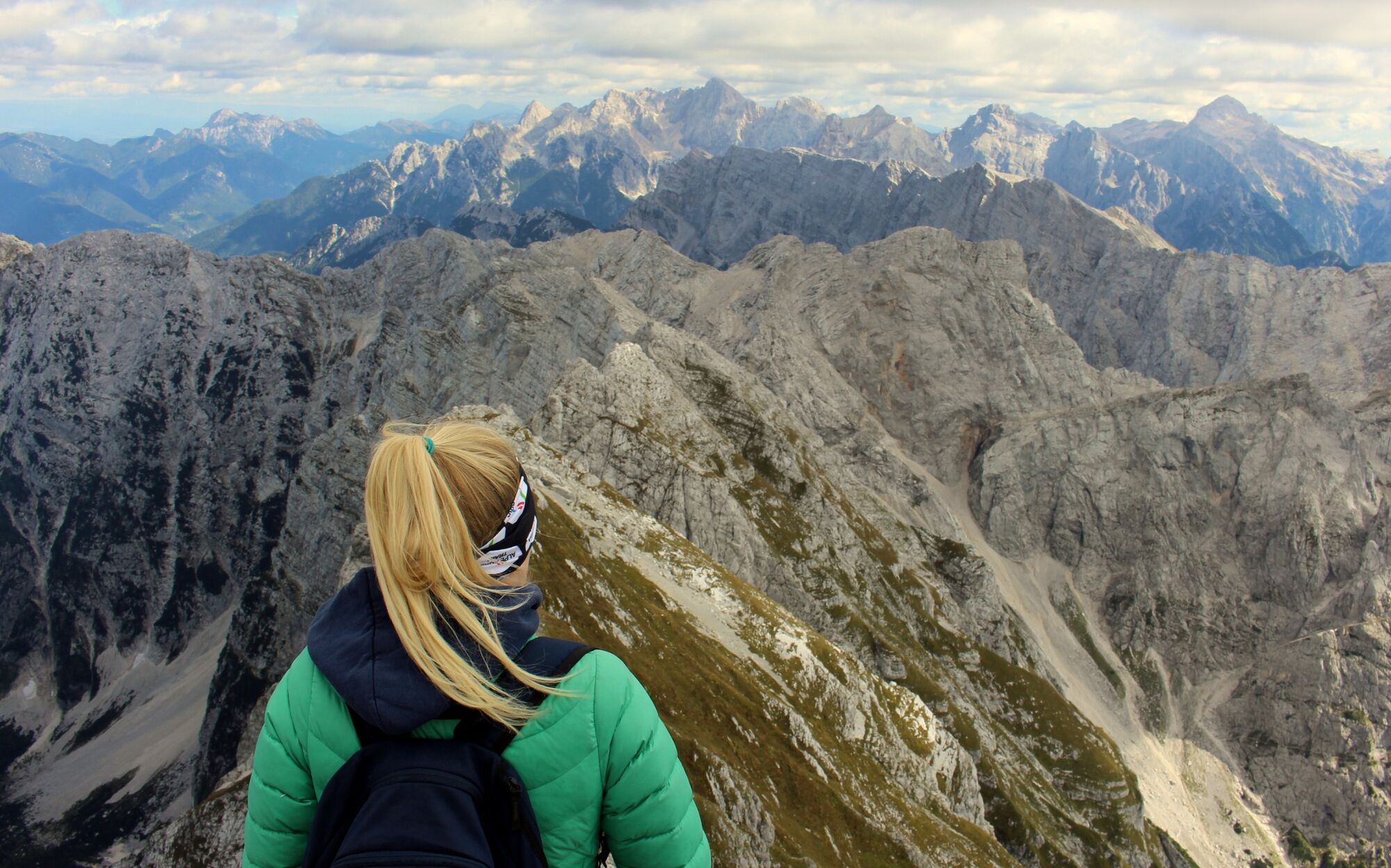
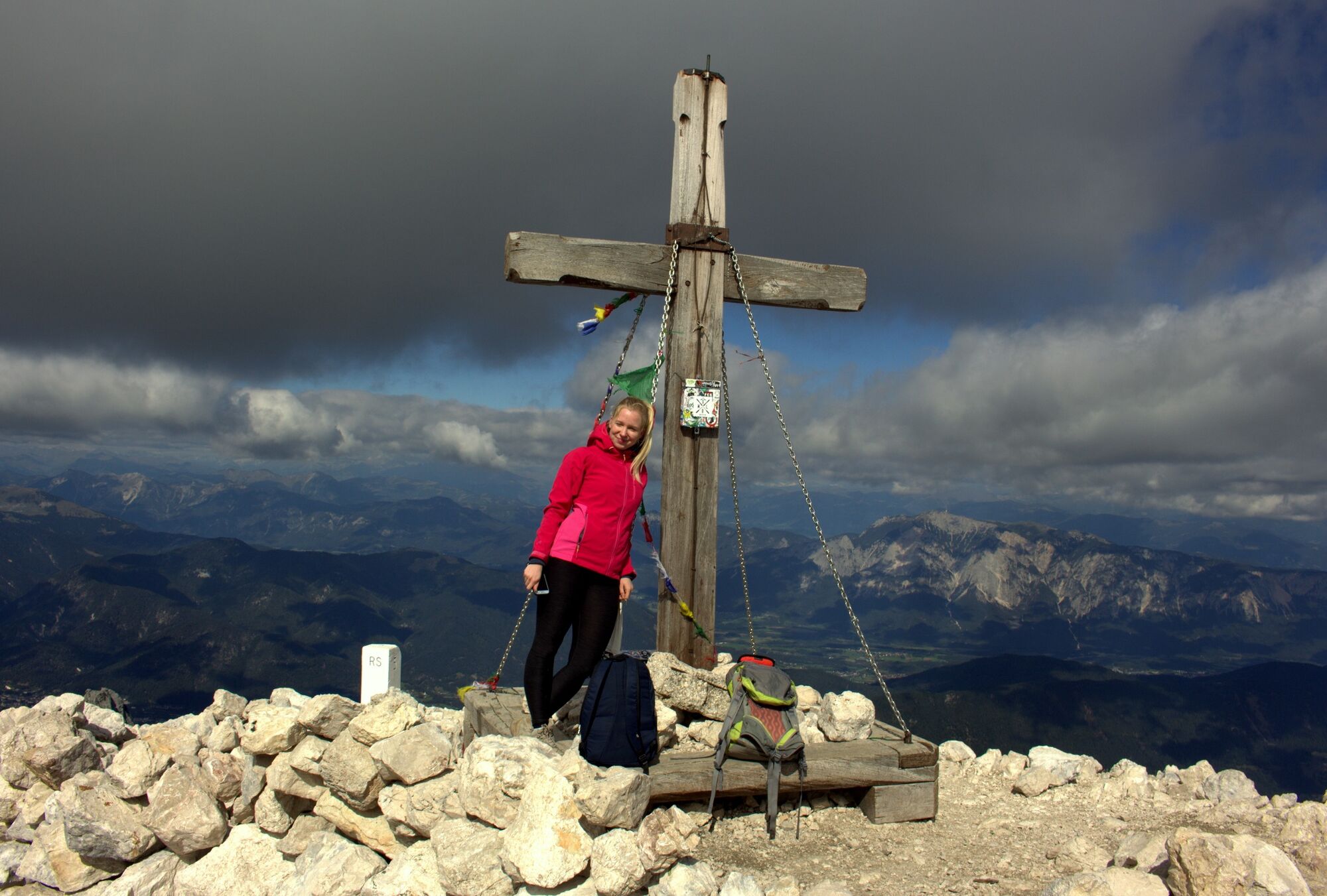
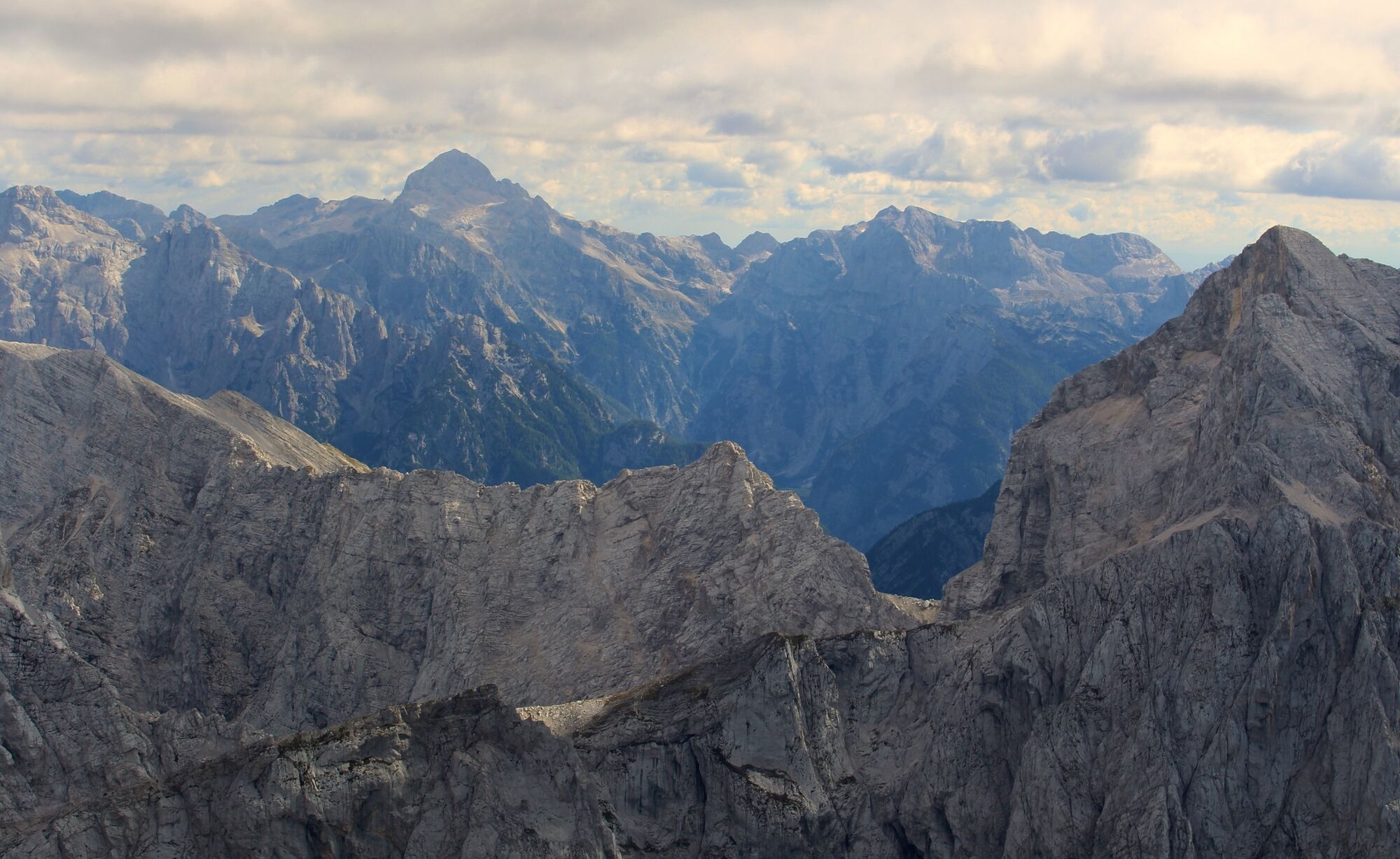
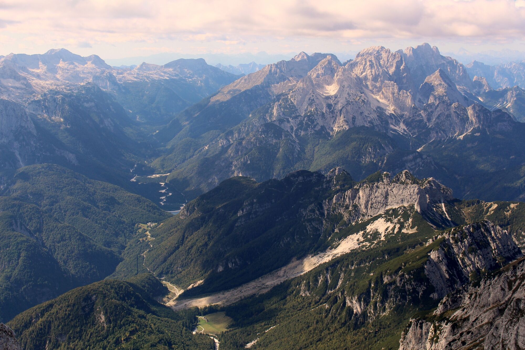
Take a drive up Slovenia's highest road to reach the base of the mighty Mangart mountain, a perfect hike to get the high elevation views without the 1000+ meter climb.
- Greutăţi
-
mediu
- Evaluare
-
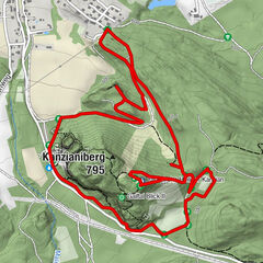
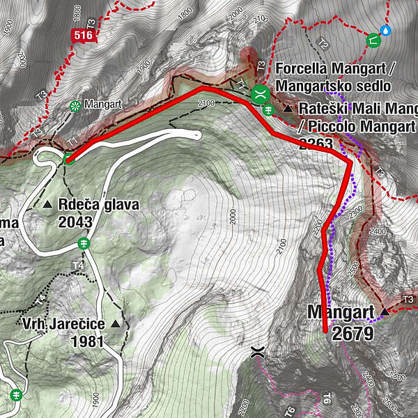
- Ruta
-
Na Drni (2.527 m)1,6 km
- Cel mai bun sezon
-
ianfebmaraprmaiiuniulaugsepoctnovdec
- Cel mai înalt punct
- 2.457 m
- Destinație
-
Mangart summit
- Profil de elevație
-
 © outdooractive.com
- Autor
-
Turul Mount Mangart este utilizat de outdooractive.com furnizat.
GPS Downloads


Informaţii generale
Promițător
Mai multe tururi în regiuni