
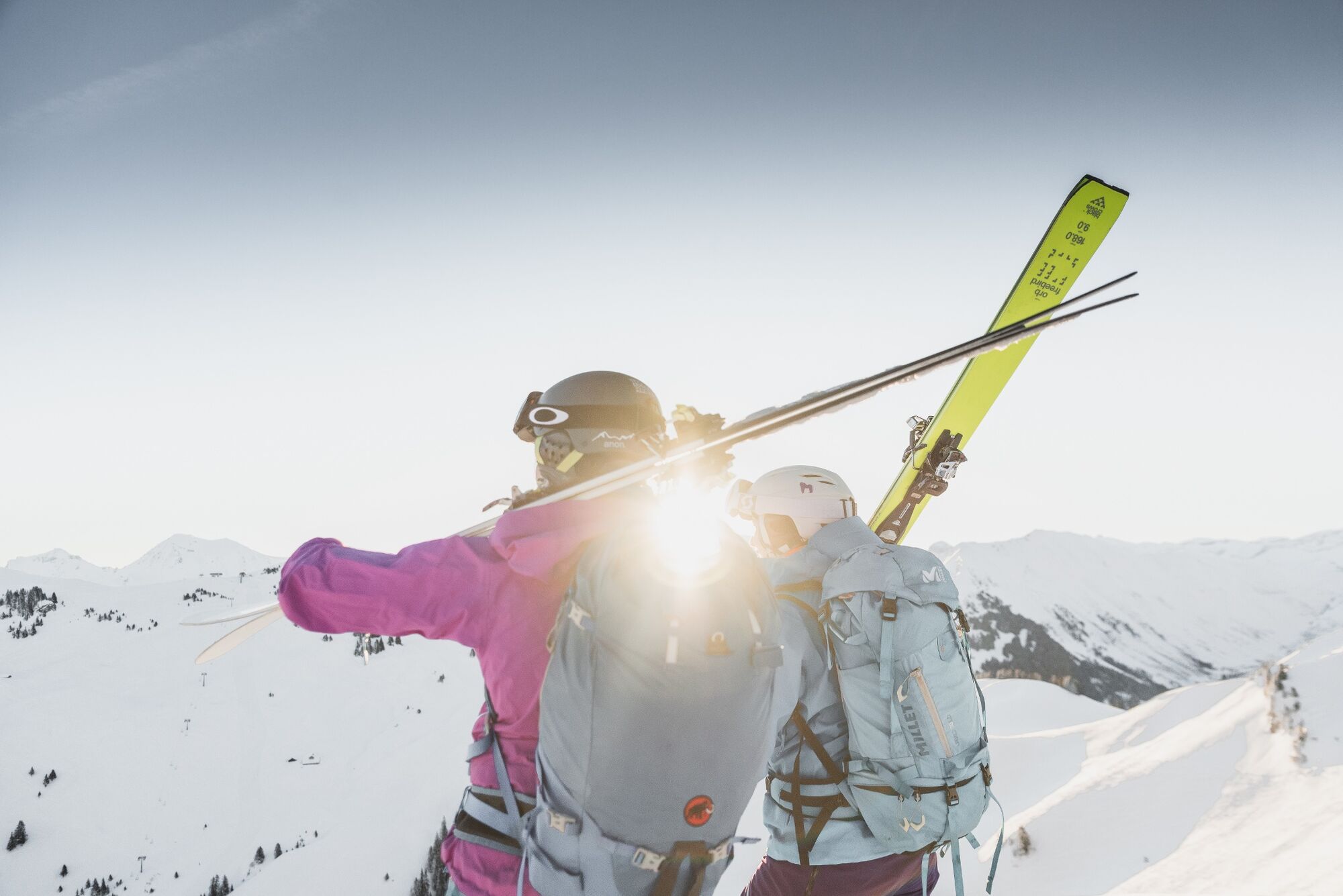
© Destination Gstaad - Destination Gstaad / Melanie Uhkoetter
- Scurtă descriere
-
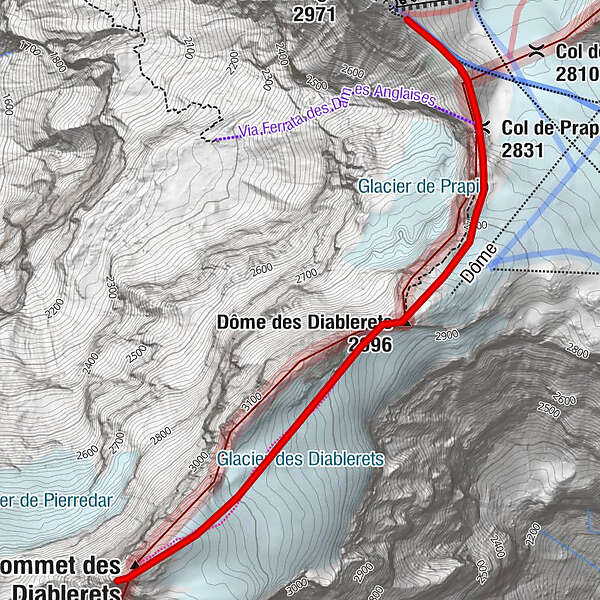
Short but demanding ski tour in the glacier area with a panoramic summit at 3210 meters above sea level.
- Greutăţi
-
greu
- Evaluare
-
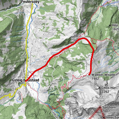
- Ruta
-
Col de Prapio (2.831 m)0,5 km
- Cel mai bun sezon
-
augsepoctnovdecianfebmaraprmaiiuniul
- Cel mai înalt punct
- 3.207 m
- Destinație
-
Le Sommet des Diablerets (3210 M.a.s.l)
- Exposition
- Profil de elevație
-
 © outdooractive.com
-

-
AutorTurul Le Sommet des Diablerets (3210 M.a.s.l) este utilizat de outdooractive.com furnizat.
GPS Downloads


Informaţii generale
Promițător
Mai multe tururi în regiuni
-
Thyon les Collons
101
-
Coteaux du Soleil
48
-
Ormont-Dessus
12