


- Scurtă descriere
-
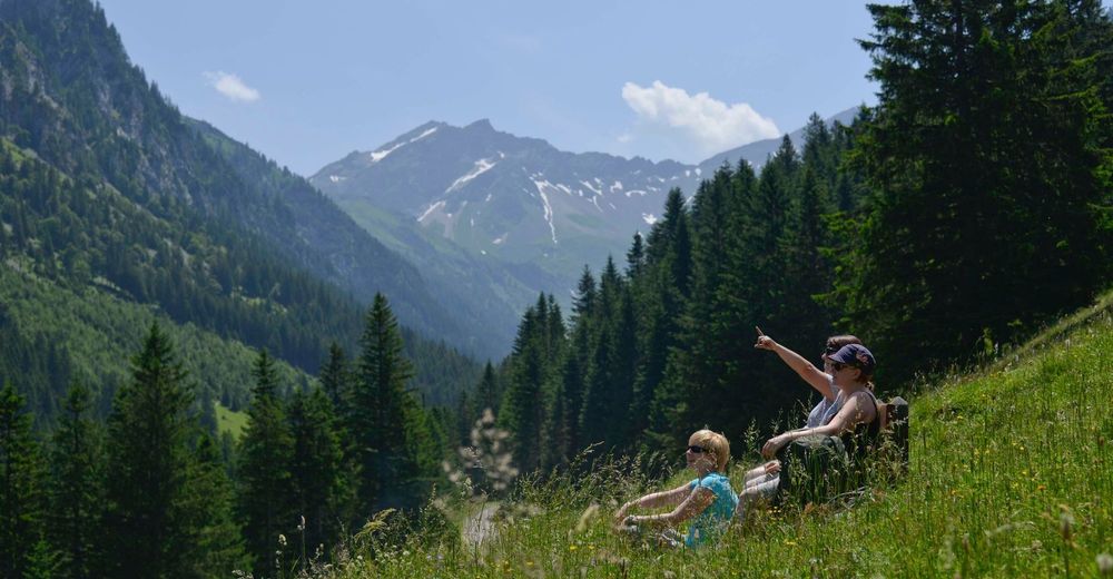
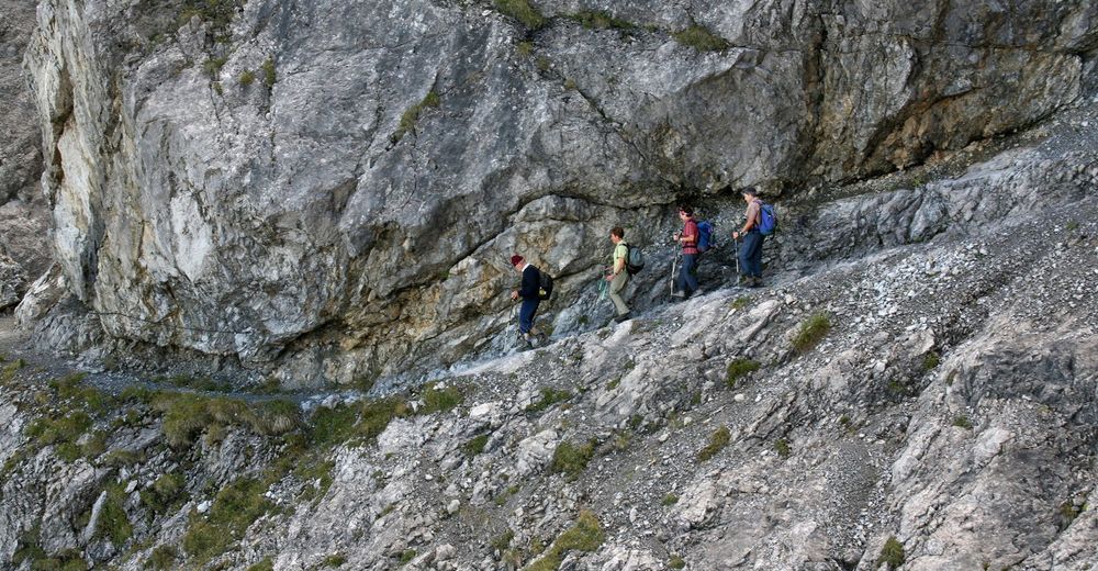
From the Pfälzer hut, the Via Alpina follows the southern Rätikon high-altitude trail to the Carschina cabin: a lovely stretch of the trail passing underneath limestone walls and along seas of flowers.
- Greutăţi
-
greu
- Evaluare
-
- Ruta
-
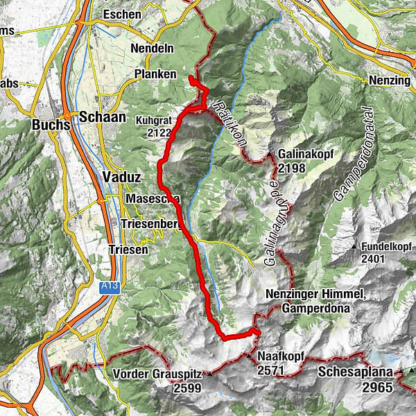
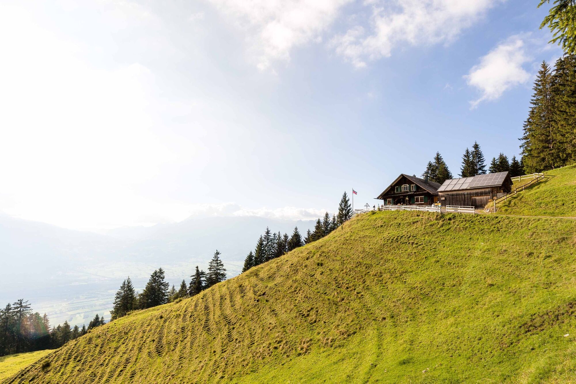
Gafadurahütte0,0 kmGarsellikopf (2.104 m)4,1 kmKuhgrat (2.122 m)4,8 kmSilum10,2 kmWisli12,8 kmSteg13,1 kmPfälzerhütte20,8 km
- Cel mai bun sezon
-
ianfebmaraprmaiiuniulaugsepoctnovdec
- Cel mai înalt punct
- 2.111 m
- Destinație
-
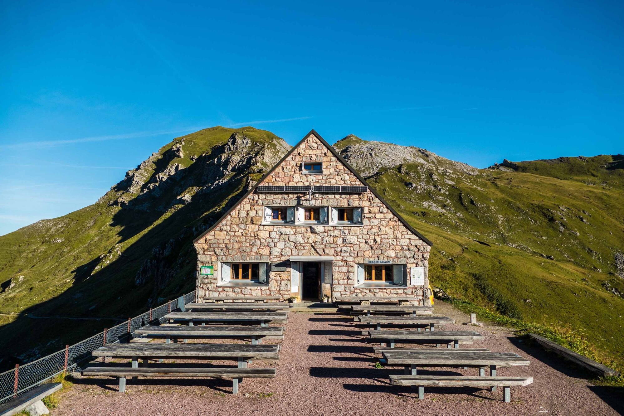
Pfälzerhütte
- Profil de elevație
-
 © outdooractive.com


-

-
AutorTurul Via Alpina este utilizat de outdooractive.com furnizat.
GPS Downloads


Informaţii generale
Oprire pentru băuturi răcoritoare
Promițător
Mai multe tururi în regiuni
-
Heidiland
2201
-
Liechtenstein
1289
-
Triesenberg
227


