


- Scurtă descriere
-
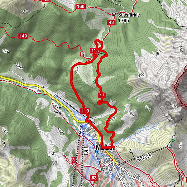
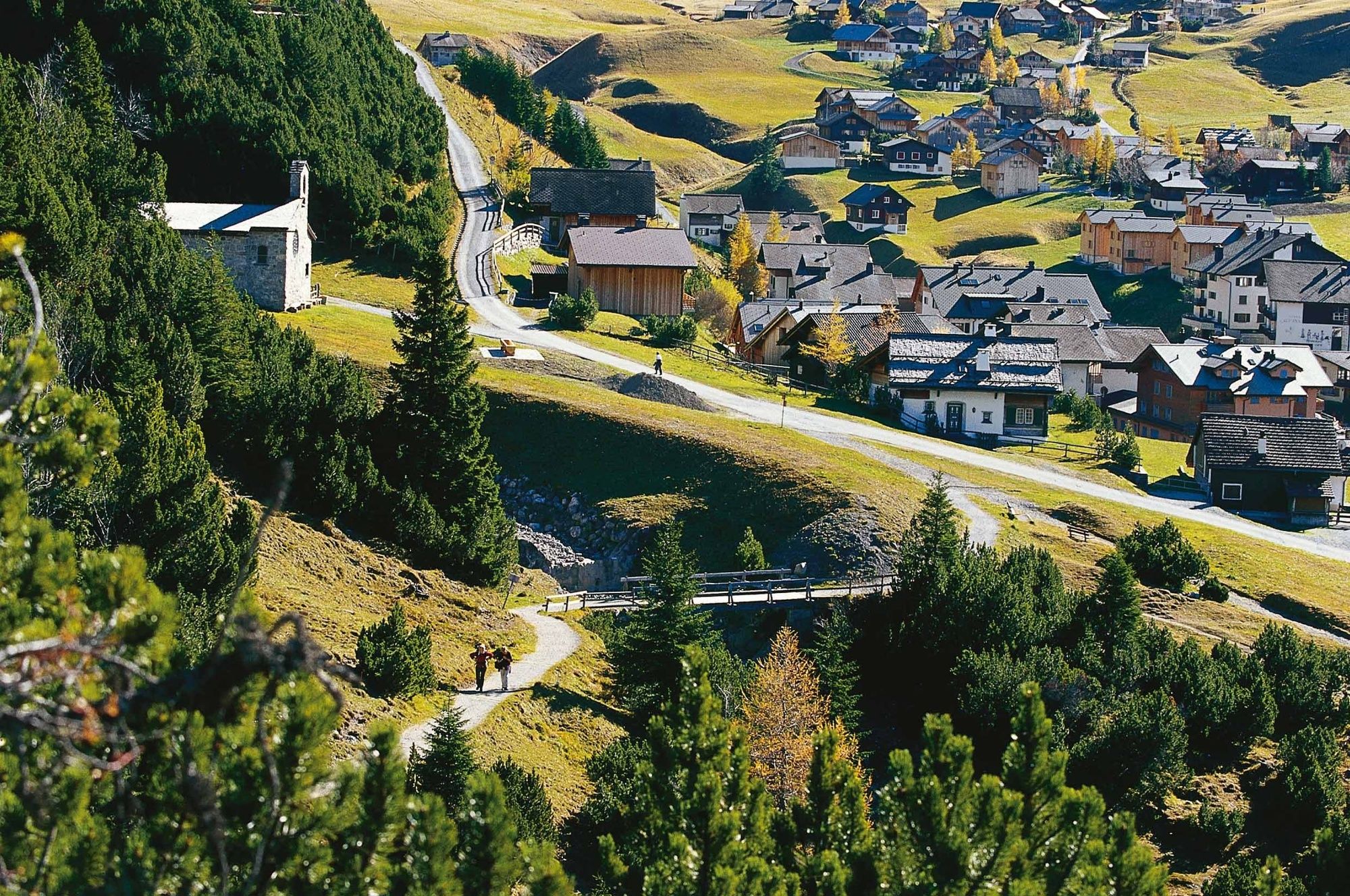
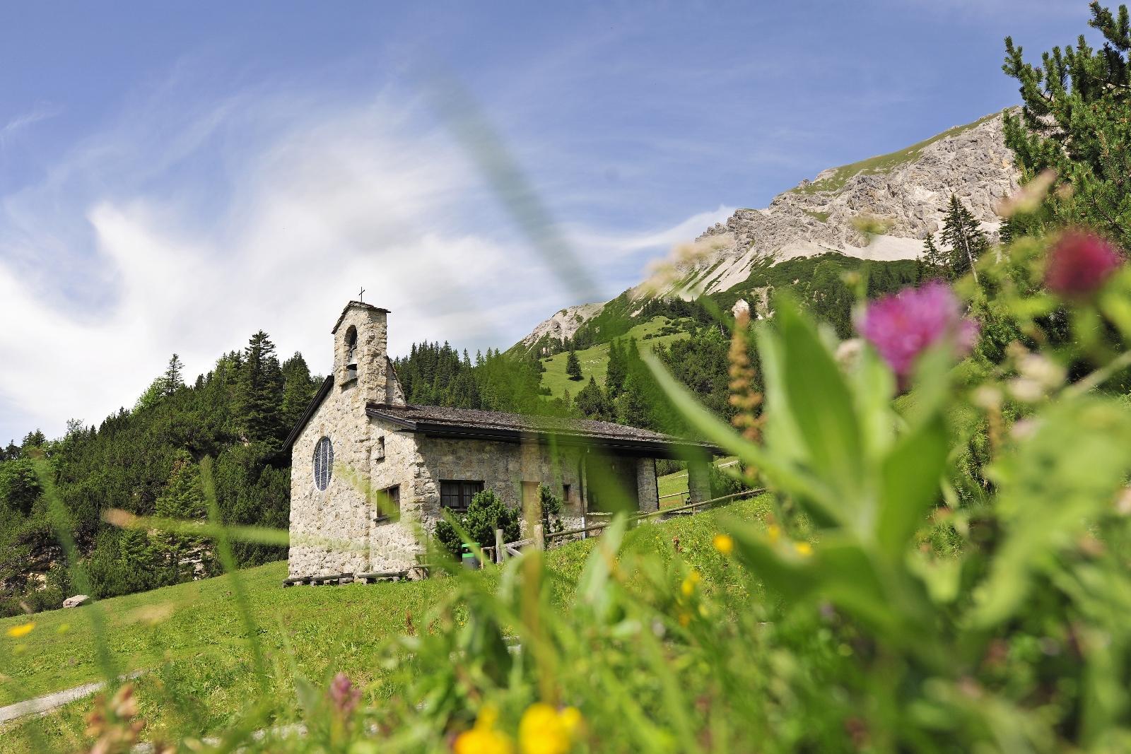
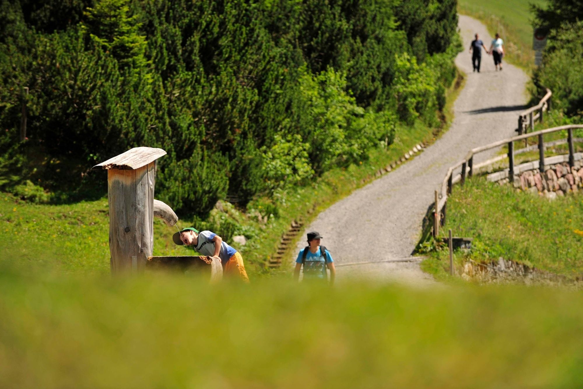
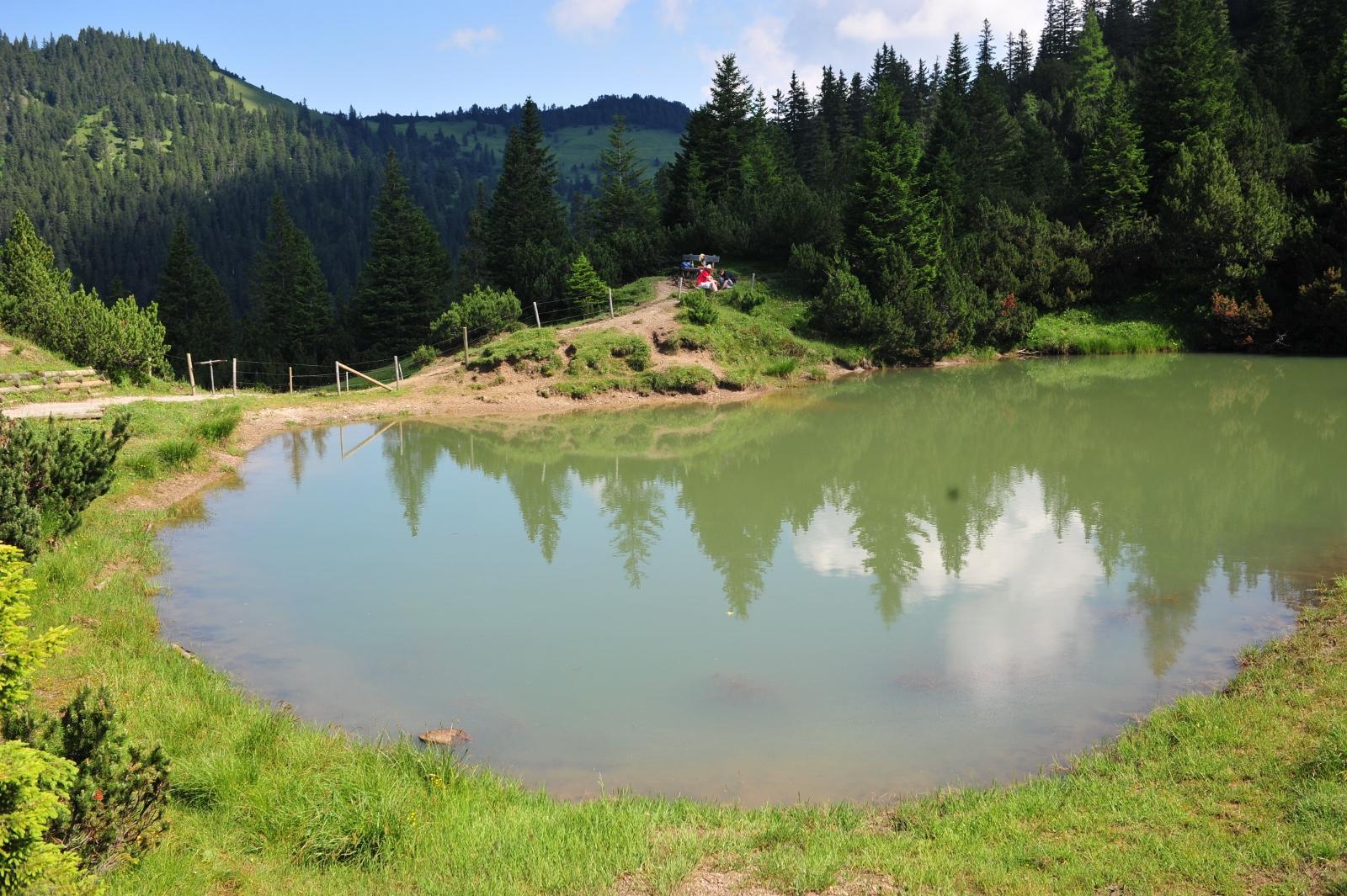
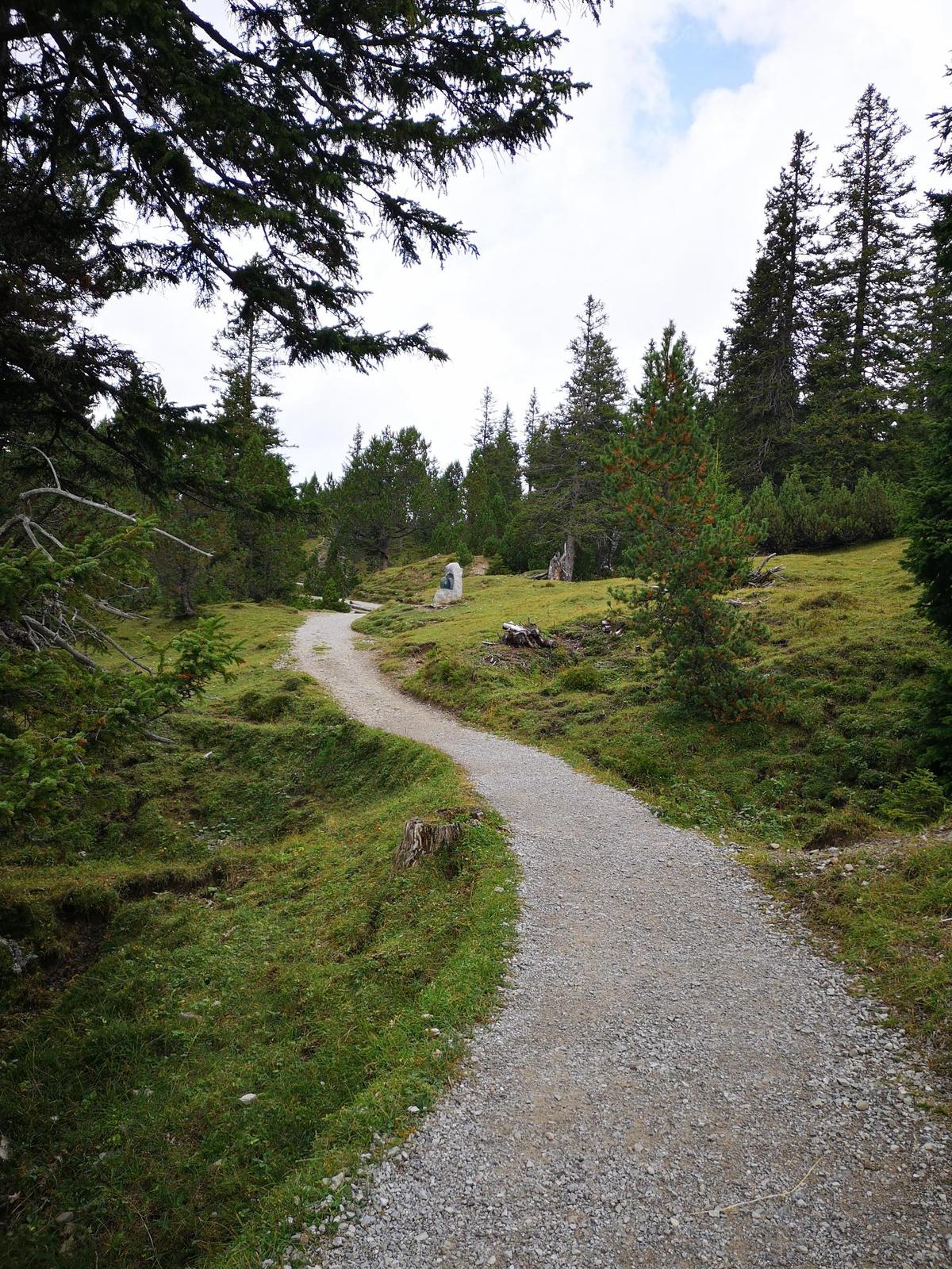
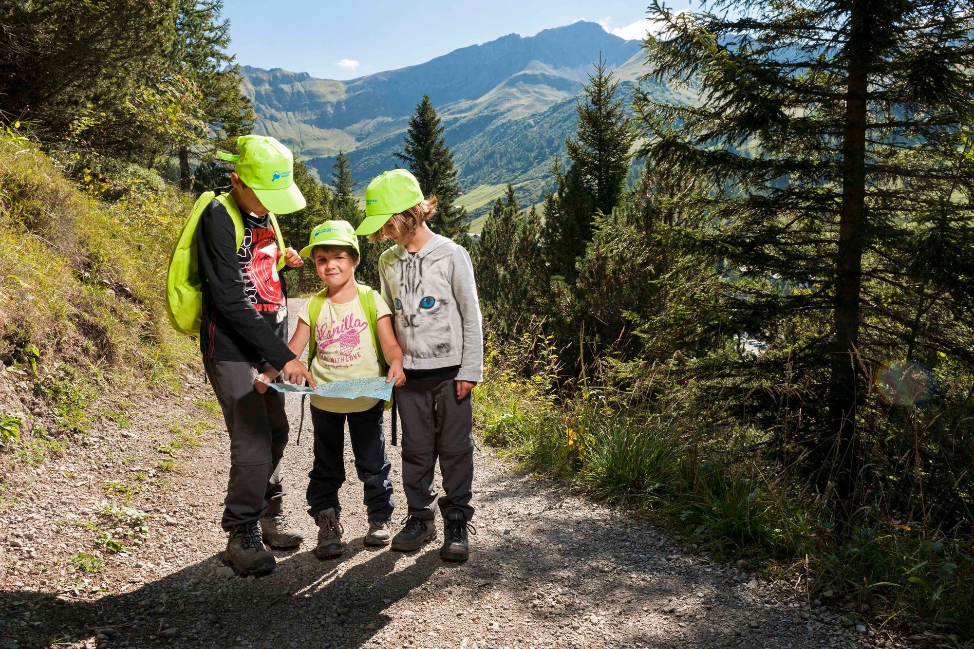
The Sass Trail near the mountain village of Malbun is a well-signposted circular hiking trail which can be hiked throughout the year.
- Greutăţi
-
mediu
- Evaluare
-
- Ruta
-
Malbun0,0 kmFriedenskapelle0,2 kmMalbun3,9 kmMalbun4,4 km
- Cel mai bun sezon
-
ianfebmaraprmaiiuniulaugsepoctnovdec
- Cel mai înalt punct
- 1.731 m
- Destinație
-
Malbun
- Profil de elevație
-
 © outdooractive.com

-

-
AutorTurul Sass Trail este utilizat de outdooractive.com furnizat.
GPS Downloads


Informaţii generale
Flora
Promițător
Mai multe tururi în regiuni
-
Heidiland
2200
-
Liechtenstein
1288
-
Malbun
308


