Iarna
Vară
Vreme
Camere web
Cazări
Circuite
Istoric de căutare
Sugestii de căutare
Nu s-au găsit rezultate
Căutare
Circuite
Acasă
Vară Italien
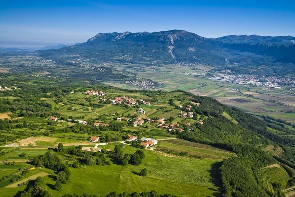
Regiunea Friuli
Circuite
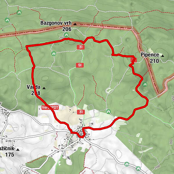
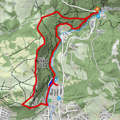
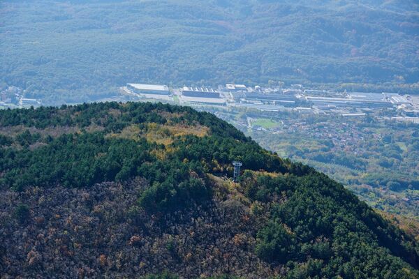
Malchina - Monte Sambuco Rundweg
Regiuni
Vreme
Camere web
Circuite
Proiectoare
Lacuri Pentru Scăldat
Cazări
Furnizor de sport
Evenimente
Zone de schi
Schi fond
Parcuri de zăpadă
Malchina - Monte Sambuco Rundweg
Bookmark
Hartă
arată
ascundeți
Imprimare
Informaţii pentru tur
6,1
km
- 213
m
Distanz
148
hm
148
hm
Ascent
01:34
h
Durata
Mark Richter
creat am 28.04.2021
263
Apeluri
Cel mai înalt punct
213 m
Scrieți o recenzie
Evaluarea generală
5
0
%
4
0
%
3
0
%
2
0
%
1
0
%
Evaluări
(0)
0 Comentarii
Scrieți o recenzie
Eroare
S-a produs o eroare. Vă rugăm să încercați din nou.
Vă mulțumim pentru recenzia dvs.
Ratingul a fost șters
Raport de turneu
GPS Downloads
GPX
GPS Exchange Format (XML)
KML
Google Earth, Google Maps
Coduri de descărcare QR pentru telefoane mobile
Malchina - Monte Sambuco Rundweg
Coduri QR - Descărcare turistică pentru telefoane mobile
GPX
KML
Mai multe tururi în regiuni
Triest und Karst
62
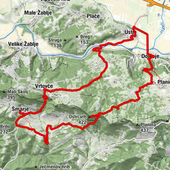
Tururi populare în zonă
In the Footsteps of Matija Vertovec
uşor
17,71
km |
457
hm |
05:10
h
Educational Trail along the River Hubelj
uşor
3,79
km |
107
hm |
01:15
h
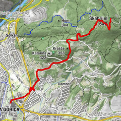
From Nova Gorica to Mt Škabrijel
uşor
8,47
km |
520
hm |
03:05
h
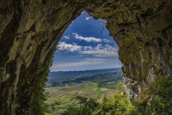
Trail to the natural stone bridge Skozno
uşor
5,62
km |
388
hm |
02:10
h
Nu s-au găsit intrări.
Căutarea nu este disponibilă în prezent.
Vă rugăm să vă raționalizați căutarea.
Rezultatele căutării locale
(<= 25km)
Mai multe rezultate ale căutării
(> 25km)
%count% Rezultatele căutării
%name%
%type%
%elevation%
%population%
%lpButton%