© © Davide Borella

© © Davide Borella

© © Giovanni Borella

© © Davide Borella

© © Davide Borella

© Friuli Venezia Giulia - Giovanni Borella

- Scurtă descriere
-
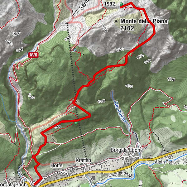
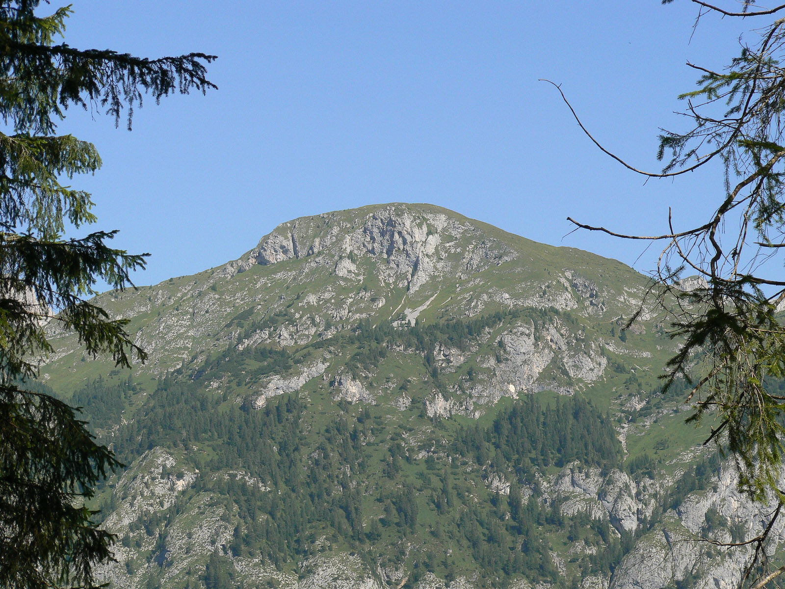
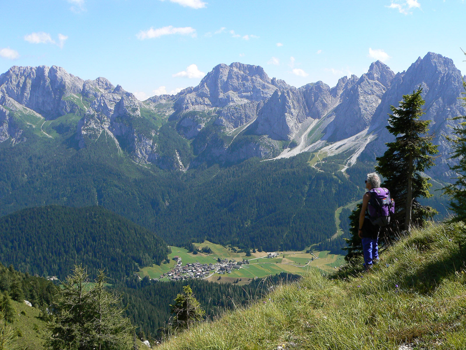
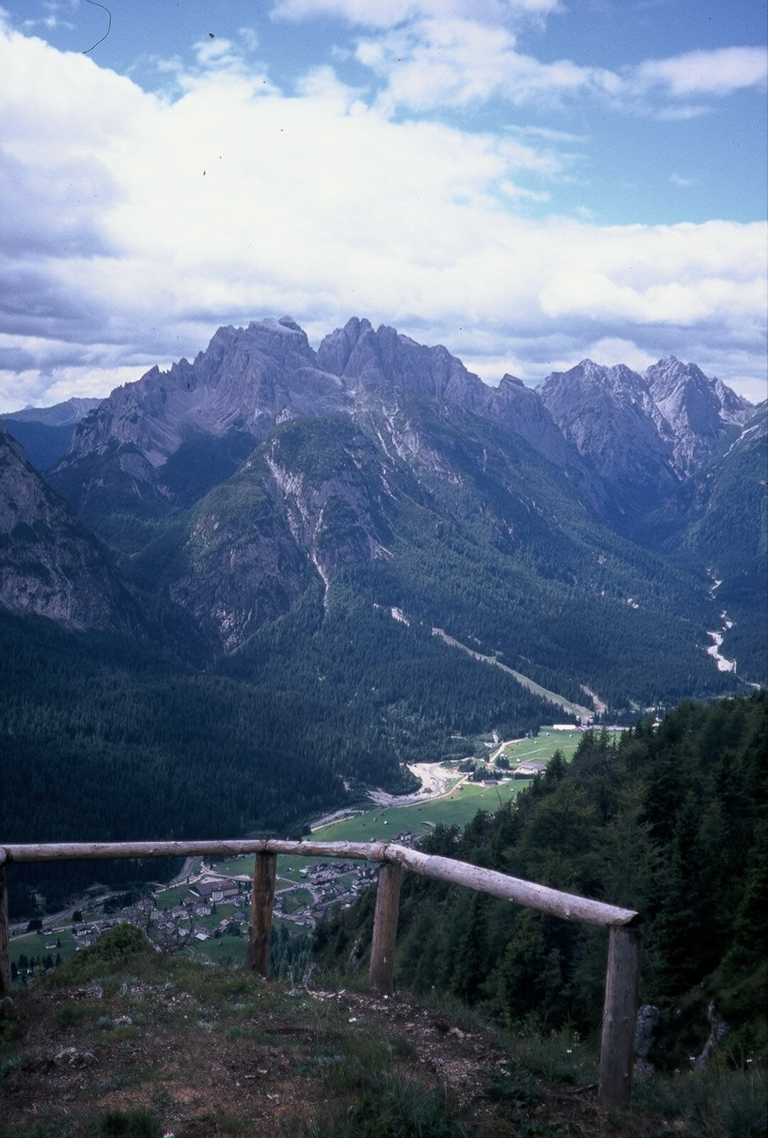
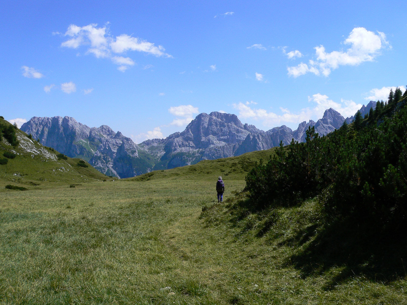
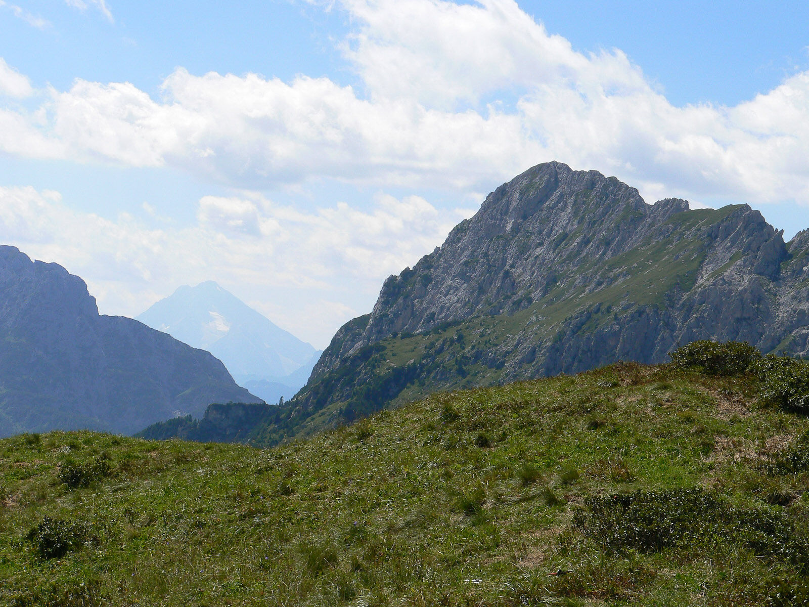
A path that leads mostly along the southern slope of Monte della Piana and then passes around it on the east side reaching the Piana pass, a large grassy saddle lying between the mountain of the same name and the small sloping hilly meadows of the monte del Larice
- Greutăţi
-
mediu
- Evaluare
-
- Ruta
-
MühlbachCottern0,1 kmCascatelle0,5 kmMiravalle1,8 km
- Cel mai bun sezon
-
ianfebmaraprmaiiuniulaugsepoctnovdec
- Cel mai înalt punct
- 2.037 m
- Destinație
-
Passo della Piana
- Profil de elevație
-
 © outdooractive.com

-

-
AutorTurul 24 THE MONTE DELLA PIANA NATURE TRAIL - Sappada este utilizat de outdooractive.com furnizat.
GPS Downloads


Mai multe tururi în regiuni
-
Val Comelico - Sappada
465
-
Forni Avoltri
113