© Zadar Region Tourist Board - Vedran Metelko
© Zadar Region Tourist Board - Vedran Metelko

- Scurtă descriere
-
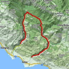
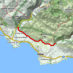
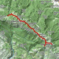
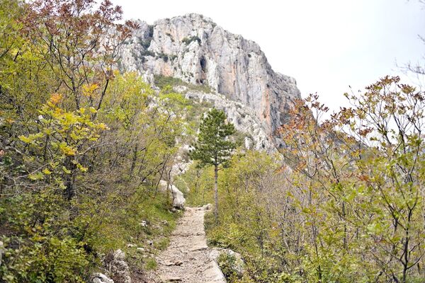
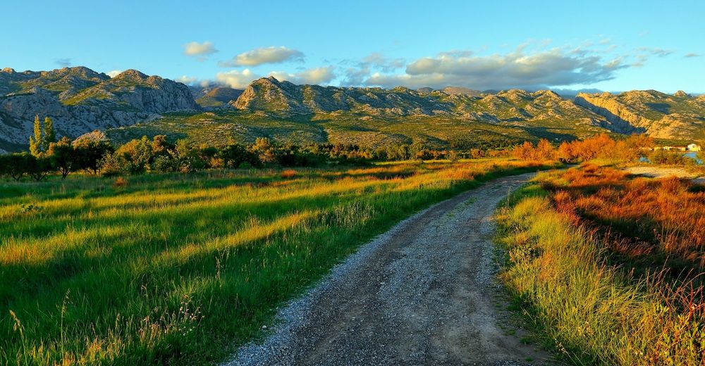
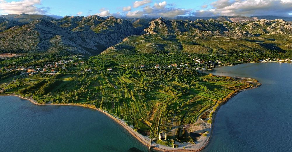
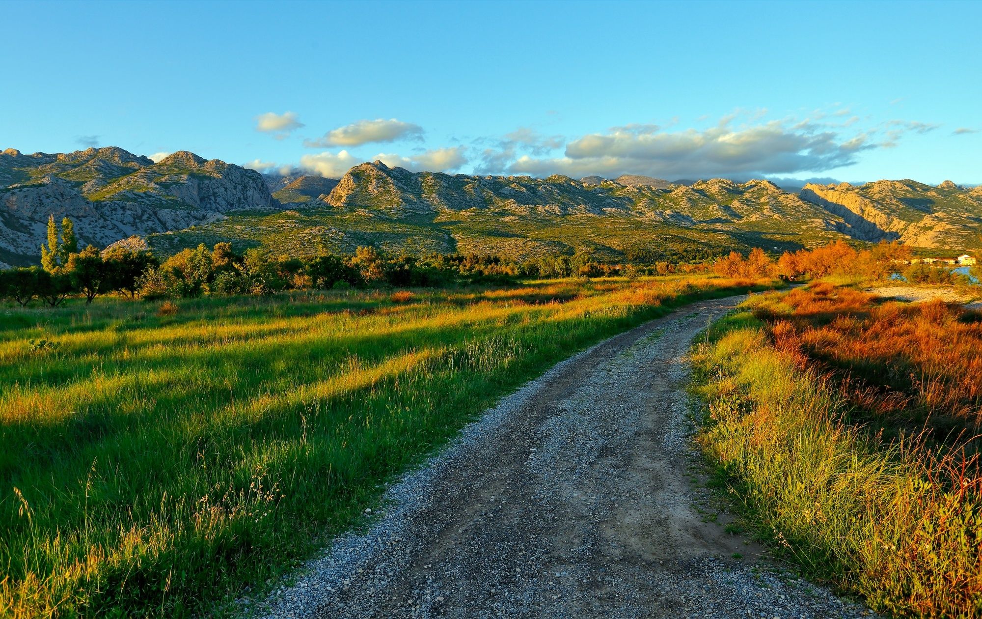
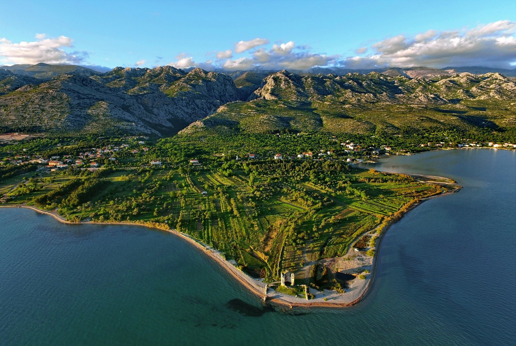
The trail leads through abandoned houses and villages. Local family farms and the camp Vrata Velebita are located just a few minutes away on foot from the start of the route. The trail passes near the intriguing locality of Mirila, next to which there is also a beautiful viewpoint that offers stunning views of the surrounding archipelago.
- Greutăţi
-
mediu
- Evaluare
-
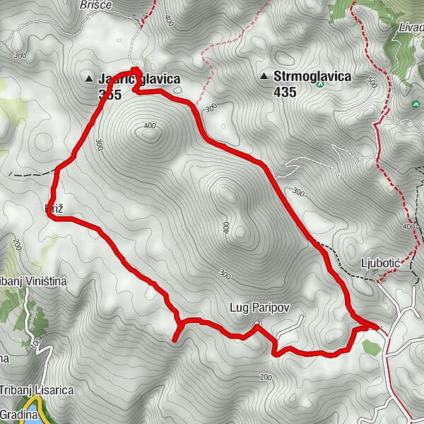
- Ruta
-
Križ3,9 kmLug Paripov5,8 km
- Cel mai bun sezon
-
ianfebmaraprmaiiuniulaugsepoctnovdec
- Cel mai înalt punct
- 321 m
- Profil de elevație
-
 © outdooractive.com
- Autor
-
Turul NP Paklenica / Mirila - Ljubotić este utilizat de outdooractive.com furnizat.
GPS Downloads


Informaţii generale
Climatul de vindecare
Cultural/Istoric
Flora
Fauna
Promițător
Mai multe tururi în regiuni
-
Region Zadar
32
-
Vlašići
3