© Zadar Region Tourist Board - Vedran Metelko
© Zadar Region Tourist Board - Vedran Metelko

- Scurtă descriere
-
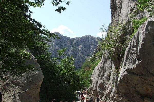
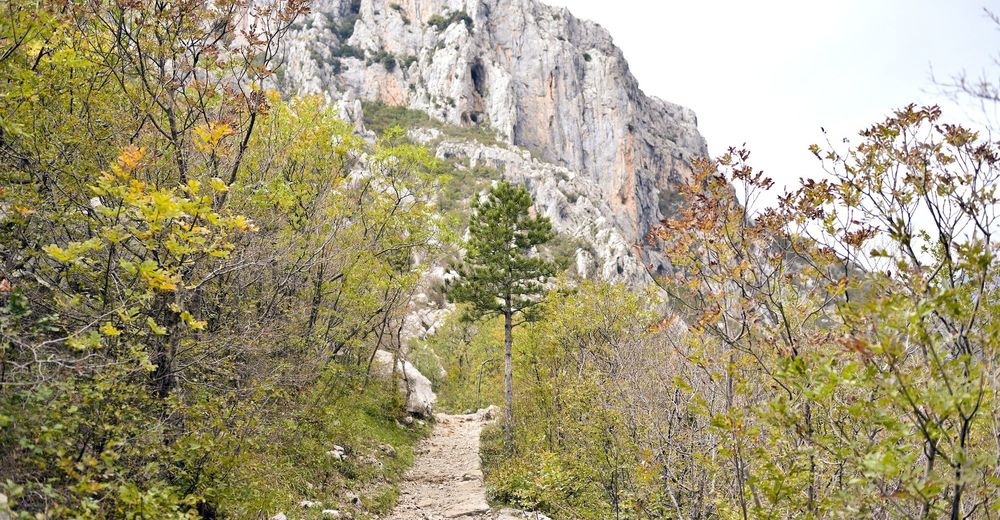
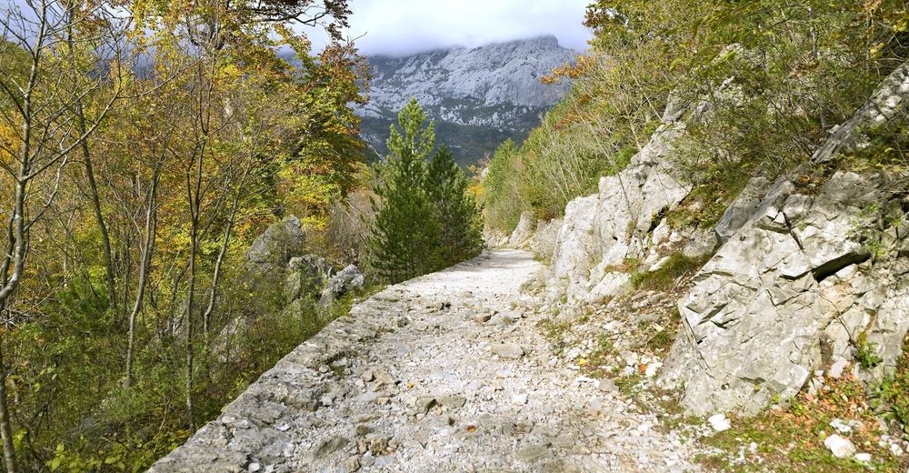
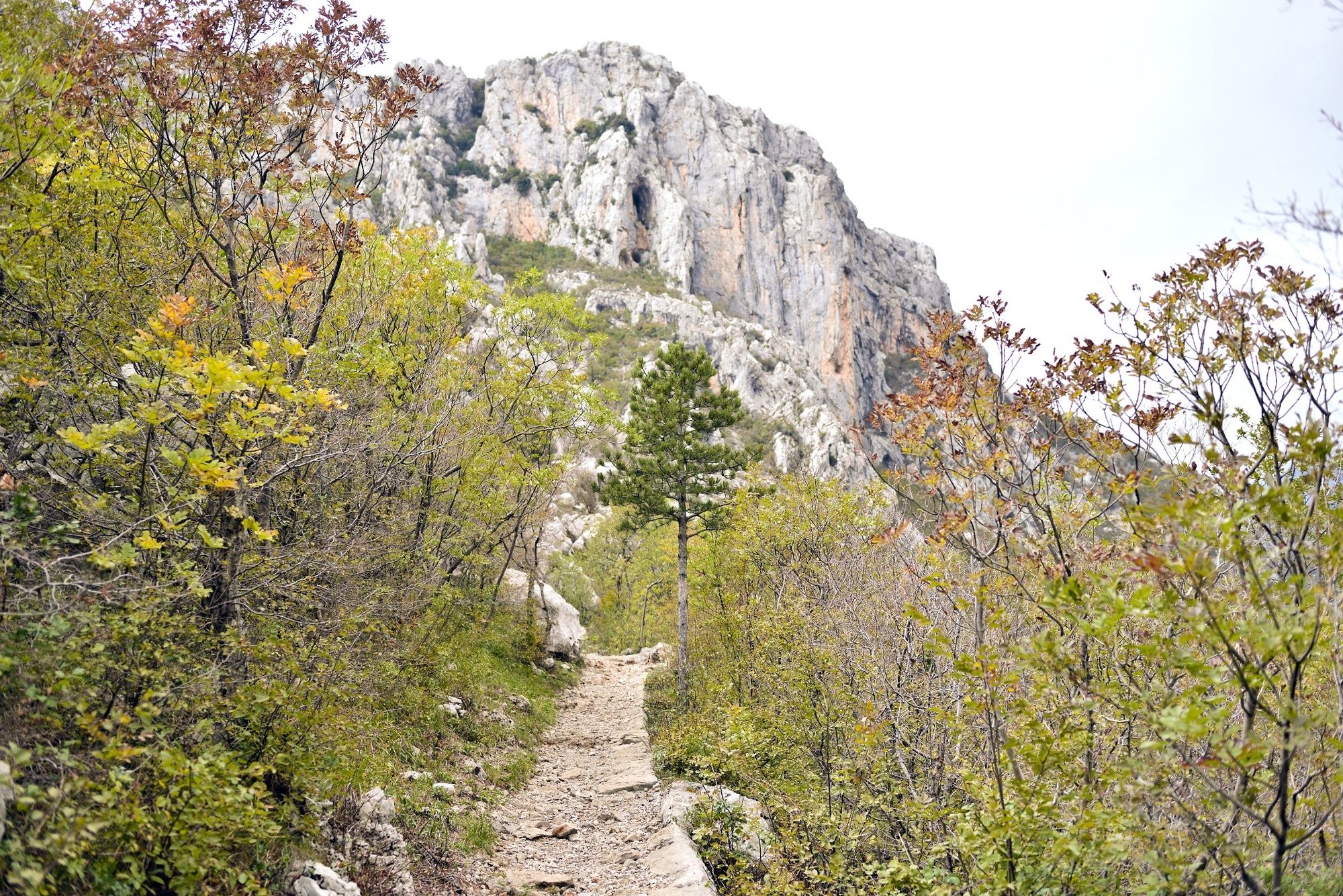
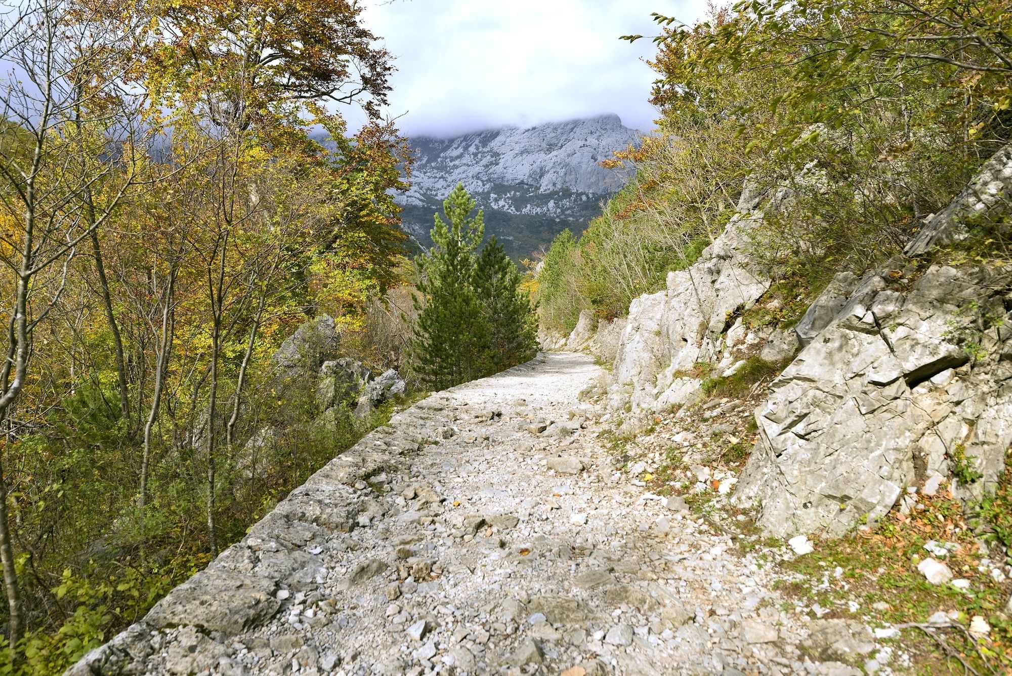
The path leads along the canyon of Velika Paklenica. The interesting cave of Manita peć, which is located at the end of the trail, is the highlight of the route. The viewpoint in front of the cave is the perfect place to take in sights of Anića Kuk and the entire canyon.
- Greutăţi
-
uşor
- Evaluare
-
- Ruta
-
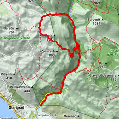
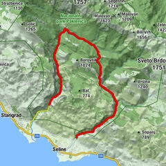
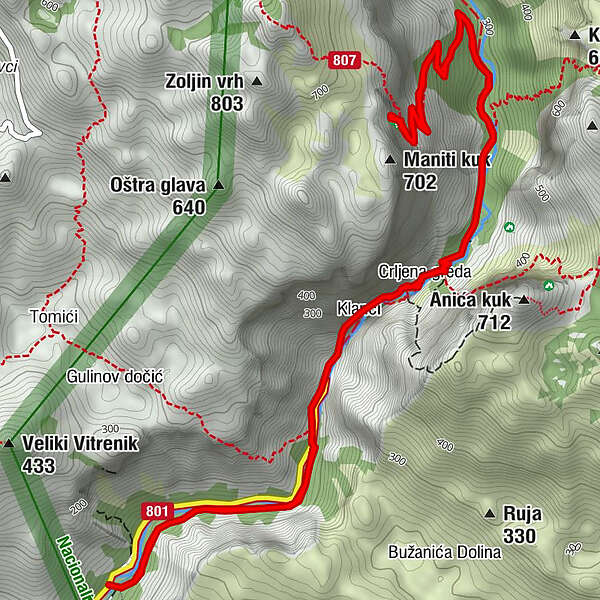
Klanci2,0 kmCrljena greda2,4 kmManita peć (550 m)5,6 kmCrljena greda8,6 kmKlanci8,9 km
- Cel mai bun sezon
-
ianfebmaraprmaiiuniulaugsepoctnovdec
- Cel mai înalt punct
- 659 m
- Profil de elevație
-
 © outdooractive.com
- Autor
-
Turul NP Paklenica / V. Paklenica - Manita peć este utilizat de outdooractive.com furnizat.
GPS Downloads


Informaţii generale
Climatul de vindecare
Flora
Fauna
Promițător
Mai multe tururi în regiuni