© Tourismusverband Nordburgenland - Burgenland Tourismus

© Tourismusverband Nordburgenland - Neusiedler See Tourismus/Annika Thell

© Tourismusverband Nordburgenland - Burgenland Tourismus


- Scurtă descriere
-
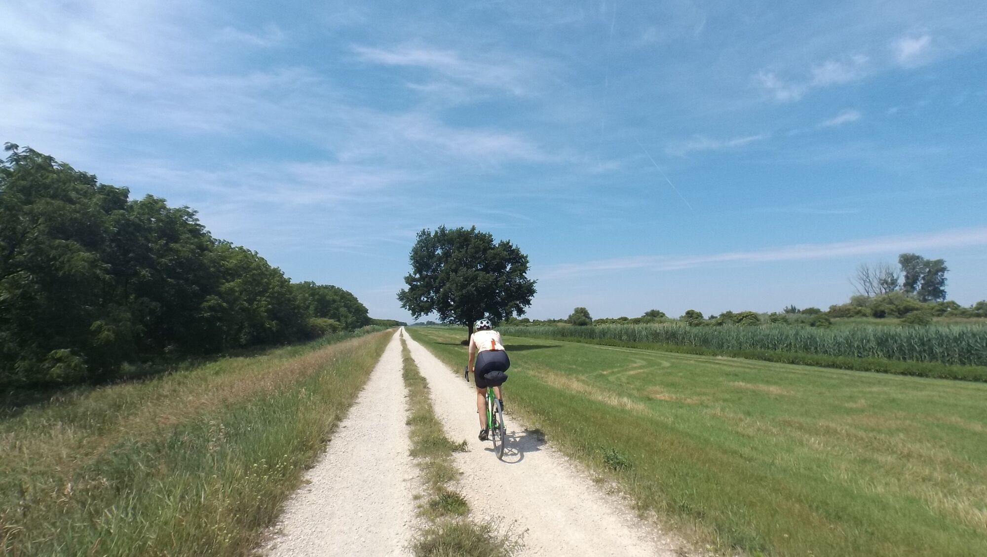
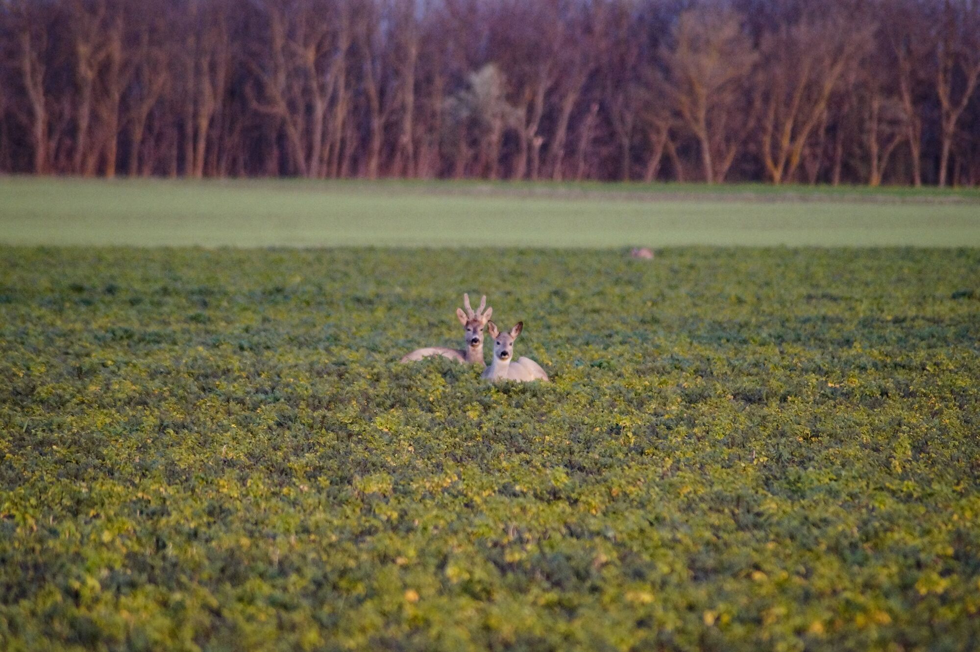
On the Hansag Trail (B22) you can enjoy absolute peace and serenity and wide expanses of the natural scenery.
- Greutăţi
-
mediu
- Evaluare
-
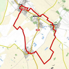
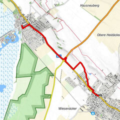
- Ruta
-
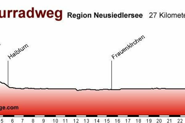
Andau (120 m)15,2 kmCafe Gabis Treff15,3 kmPfarrkirche Tadten33,5 kmTadten33,9 kmOrtskapelle hl. Johannes Nepomuk34,0 kmRochuskapelle39,6 kmPfarrkirche St. Andrä40,3 kmSankt Andrä am Zicksee40,4 kmGasthaus Seywerth41,0 kmHubertuskapelle41,7 km
- Cel mai bun sezon
-
ianfebmaraprmaiiuniulaugsepoctnovdec
- Cel mai înalt punct
- 127 m
- Destinație
-
Halbturn
- Profil de elevație
-


- Autor
-
Turul Hansag Trail este utilizat de outdooractive.com furnizat.
GPS Downloads


Informaţii generale
Oprire pentru băuturi răcoritoare
Fauna
Mai multe tururi în regiuni
-
Neusiedler See
64
-
Andau
10