
- Scurtă descriere
-
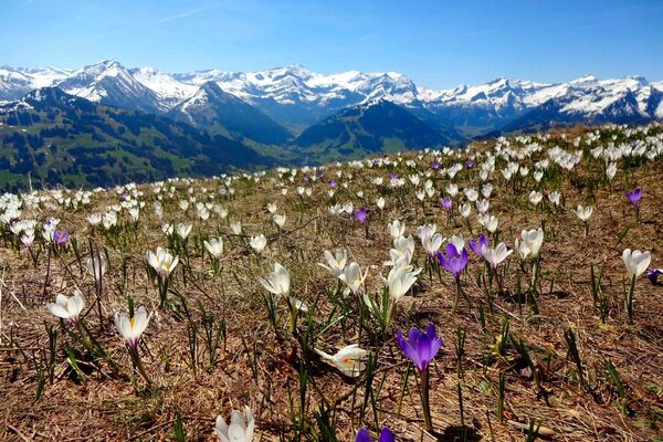
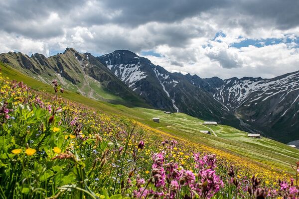
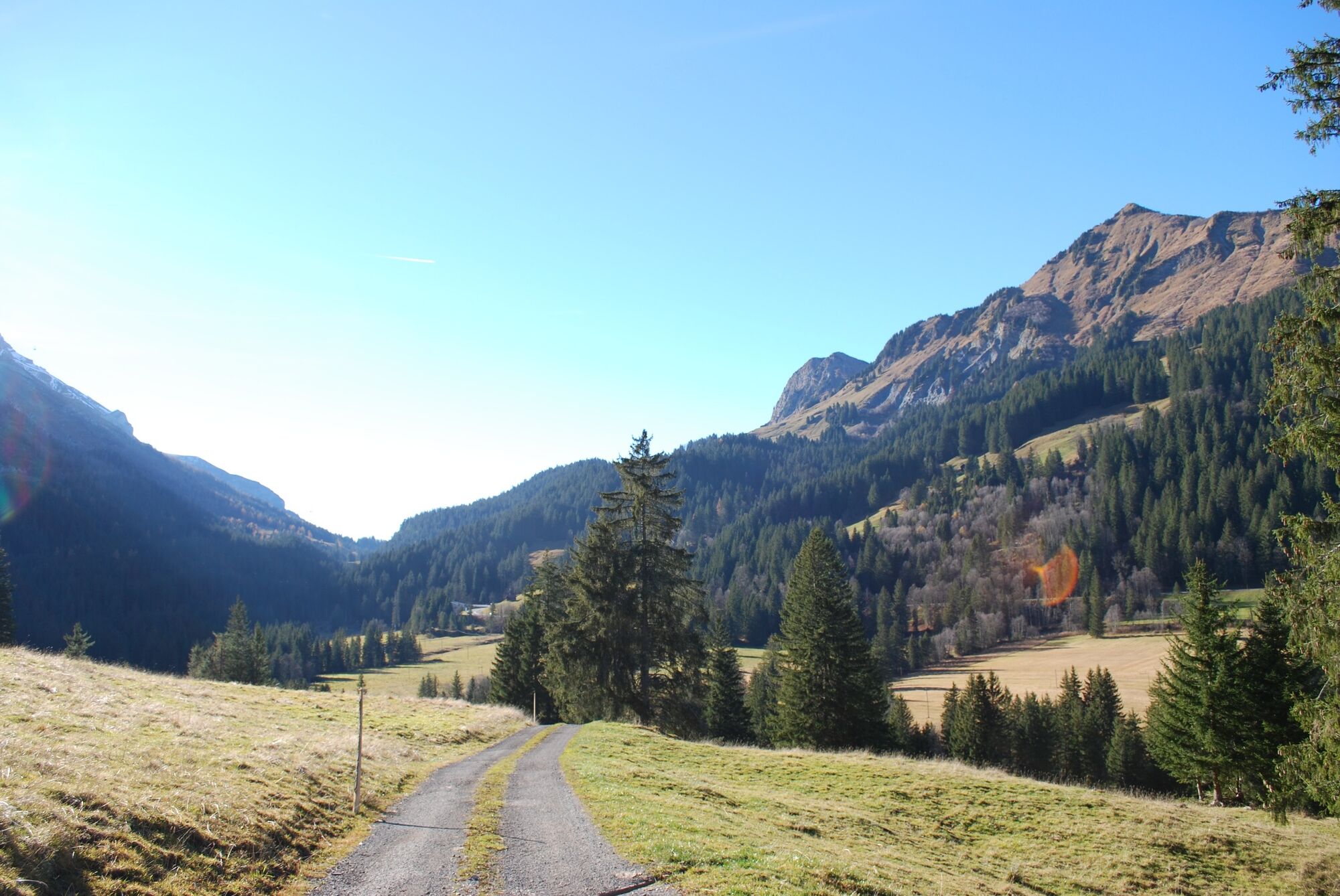
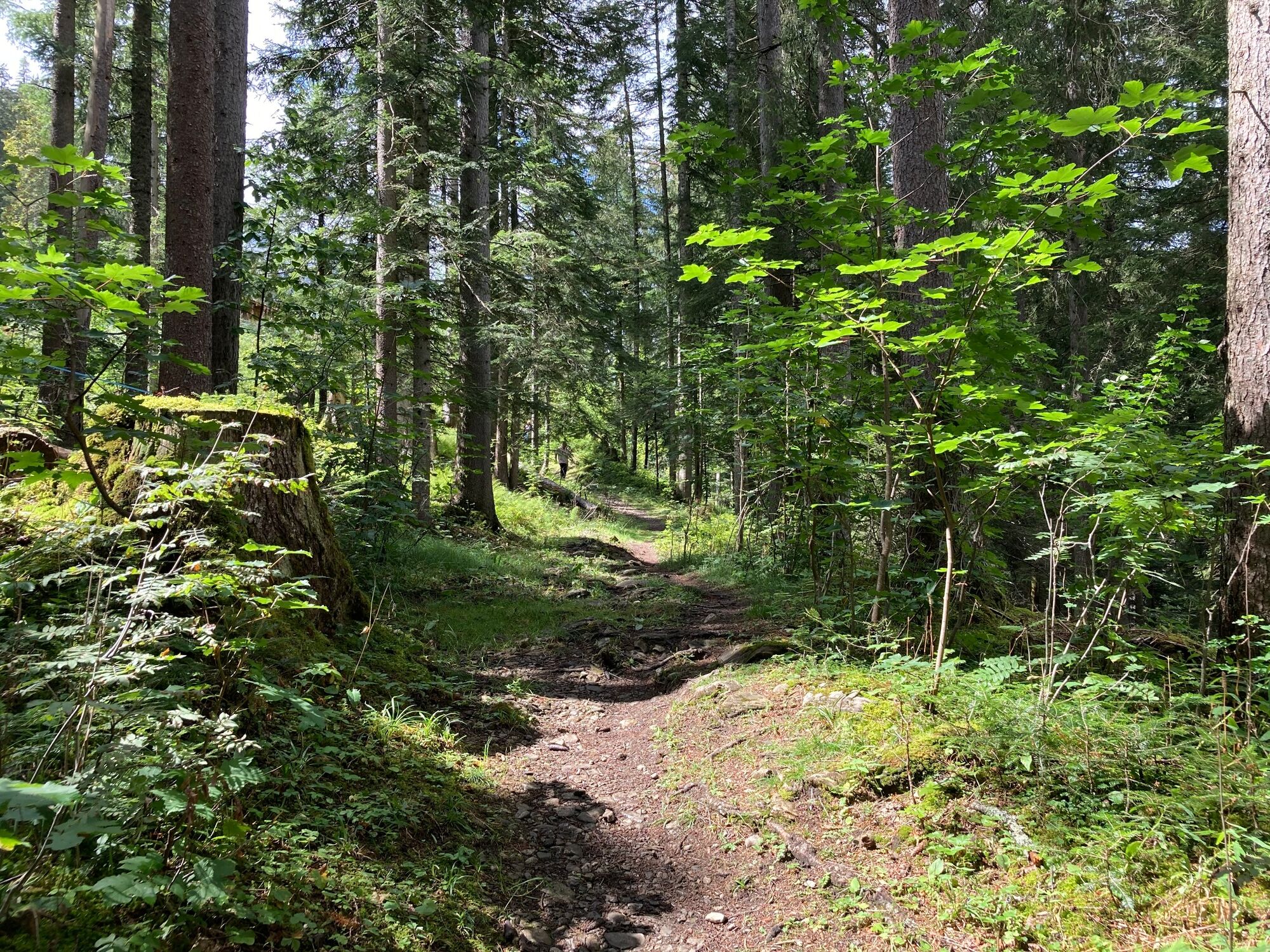
Schöne Passwanderung auf reizvollen Pfaden abseits der Passstrasse aus dem Saanenland ins Ormonttal. Wer gerne entlang von Bächen wandert, am Vegetationswechsel Gefallen findet und schroffe Berglandschaften liebt, findet auf dieser Wanderung eine vielfältige, weitgehend unverfälschte Natur. Glanzpunkt am Wege: der Wasserfall des Dar bei Creux du Pillon. Im Abstieg teilweise sehr rauer Weg; hohe Schuhe sind darum sehr empfohlen. Fast durchwegs Naturweg.
- Greutăţi
-
mediu
- Evaluare
-
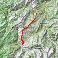
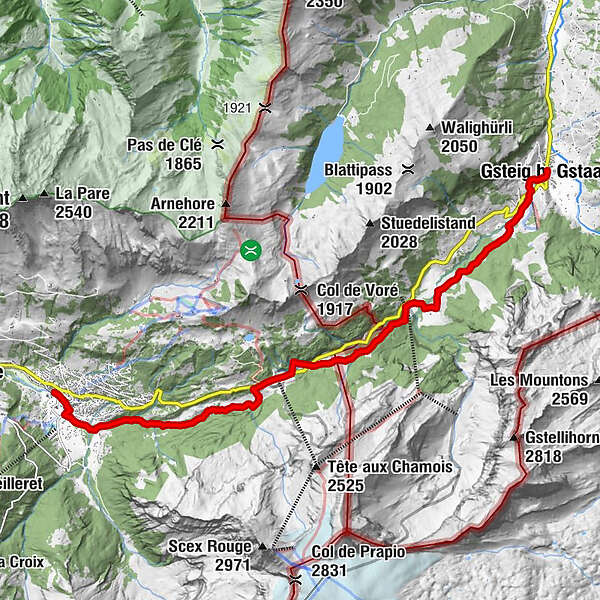
- Ruta
-
Sanetsch0,1 kmBären0,1 kmGsteig b. Gstaad (1.184 m)0,1 kmPfrüendli0,4 kmHeiti0,8 kmReusch4,1 kmRestaurant du Col du Pillon7,2 kmLa Palanche (1.257 m)10,3 kmLes Diablerets (1.163 m)12,4 kmLes Diablerets (1.155 m)12,5 km
- Cel mai bun sezon
-
ianfebmaraprmaiiuniulaugsepoctnovdec
- Cel mai înalt punct
- 1.545 m
- Destinație
-
Les Diablerets
- Profil de elevație
-
 © outdooractive.com
-

-
AutorTurul Col du Pillon - Schlüssel zum Diablerets-Gebiet este utilizat de outdooractive.com furnizat.
GPS Downloads


Informaţii generale
Oprire pentru băuturi răcoritoare
Mai multe tururi în regiuni
-
Thyon les Collons
1445
-
Destination Gstaad
741
-
Les Diablerets
158