
- Scurtă descriere
-
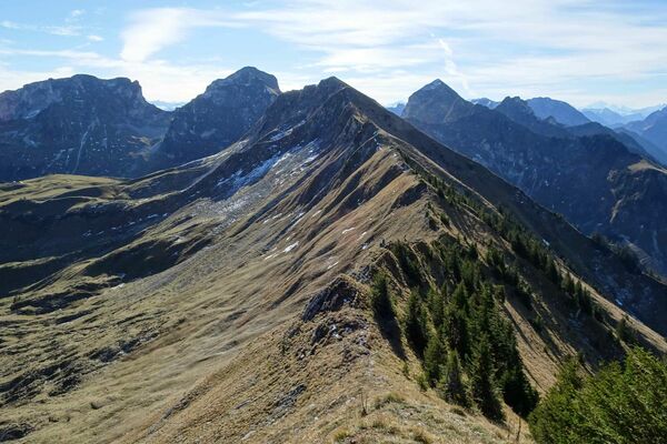
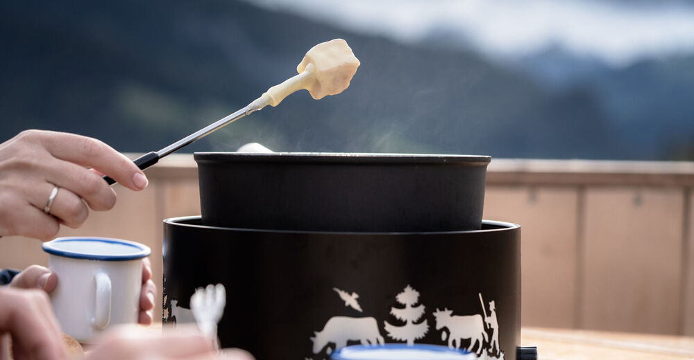
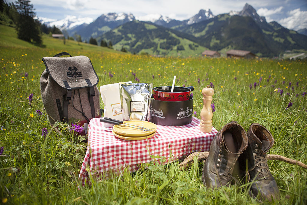
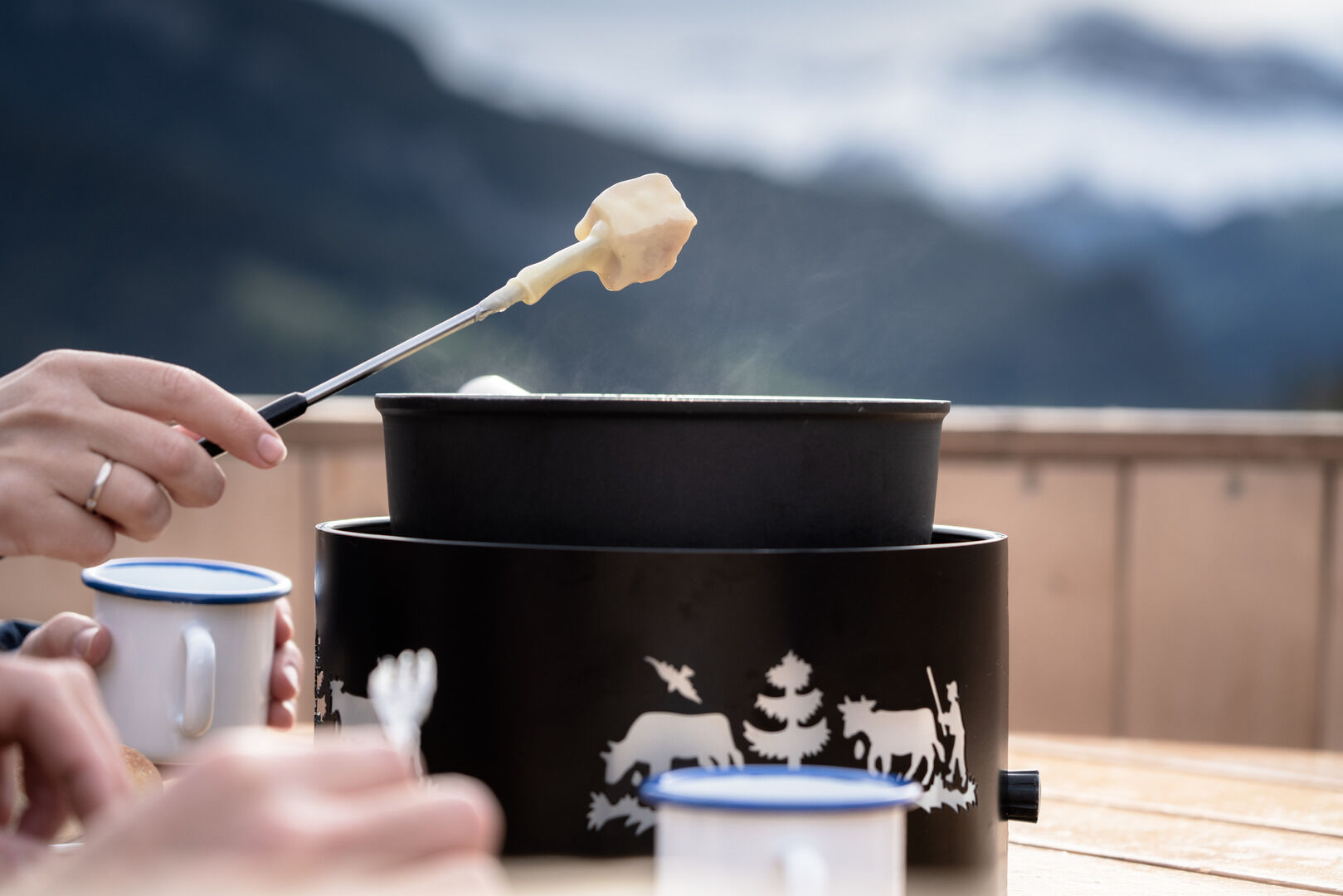
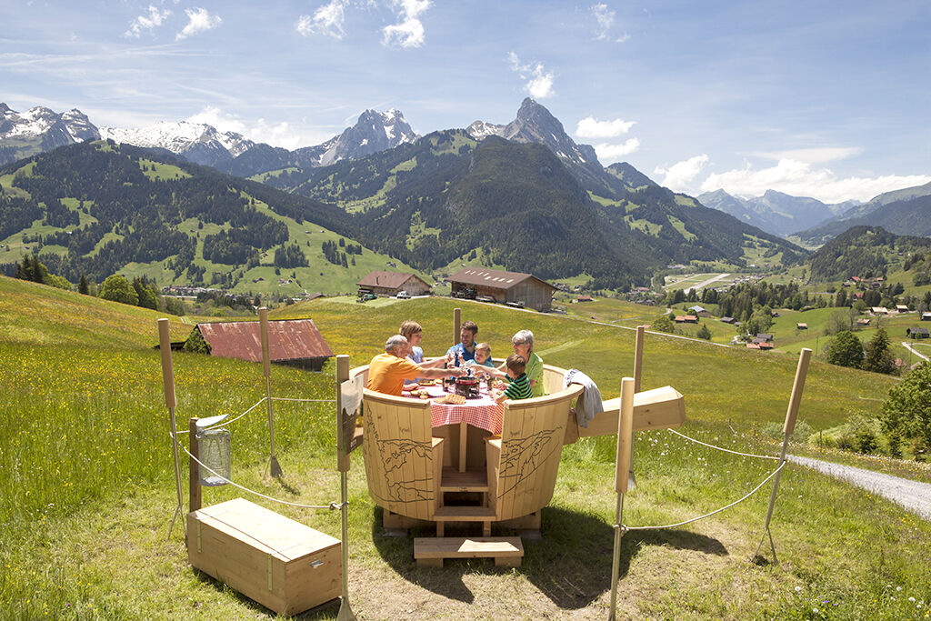
After a short walk enjoy the fondue from your backpack and admire the magnificent views of Saanen, the Rüblihorn and the Gummfluh.
- Greutăţi
-
mediu
- Evaluare
-
- Ruta
-
Schönried (1.231 m)
- Cel mai bun sezon
-
ianfebmaraprmaiiuniulaugsepoctnovdec
- Cel mai înalt punct
- 1.268 m
- Destinație
-
The large fondue pot Schlittmoos, 46.497194, 7.295303
- Profil de elevație
-
 © outdooractive.com
-

-
AutorTurul Hiking trail to the Fondue Caquelon Schlittmoos este utilizat de outdooractive.com furnizat.
GPS Downloads


Informaţii generale
Promițător
Mai multe tururi în regiuni
-
Thyon les Collons
1440
-
Destination Gstaad
743
-
Schönried
192