© Grindelwald Tourismus - David Birri

© Grindelwald Tourismus - David Birri

© Grindelwald Tourismus - David Birri

© Grindelwald Tourismus - David Birri

- Scurtă descriere
-
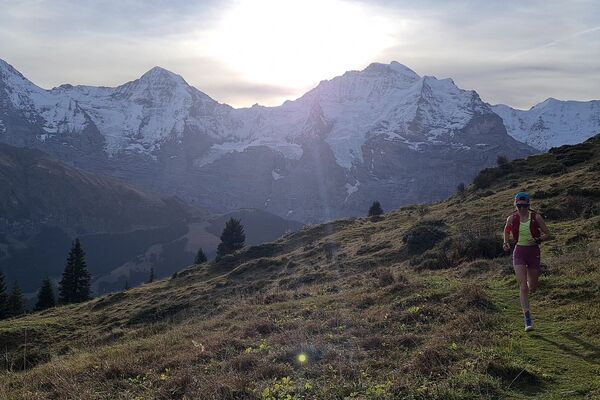
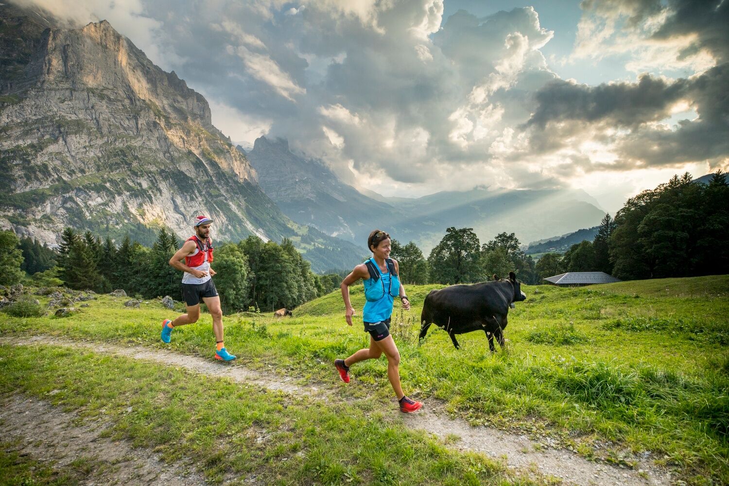
The Chrinnenhorn summit trail passes through the most fascinating glacier world in the Bernese Alps.
- Greutăţi
-
greu
- Evaluare
-
- Ruta
-
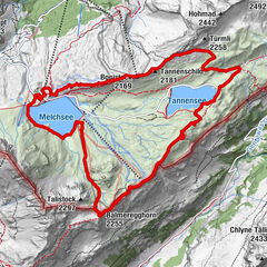
Grindelwald0,1 kmDorfkirche0,8 kmRancher Bar1,9 kmChrinnenhorn (2.741 m)10,3 km
- Cel mai bun sezon
-
ianfebmaraprmaiiuniulaugsepoctnovdec
- Cel mai înalt punct
- 2.725 m
- Destinație
-
Chrinnenhorn
- Profil de elevație
-
 © outdooractive.com


- Autor
-
Turul Trailsummit Chrinnenhorn TS3 este utilizat de outdooractive.com furnizat.
GPS Downloads


Informaţii generale
Oprire pentru băuturi răcoritoare
Promițător
Mai multe tururi în regiuni