© Stockhornbahn AG
© Unbekannt - Stockhornbahn AG
© Stockhornbahn AG
© Unbekannt - Stockhornbahn AG


- Scurtă descriere
-
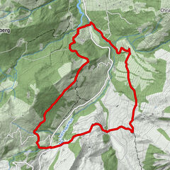
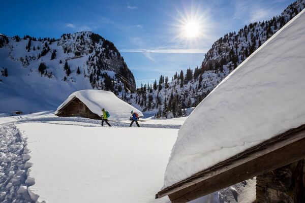
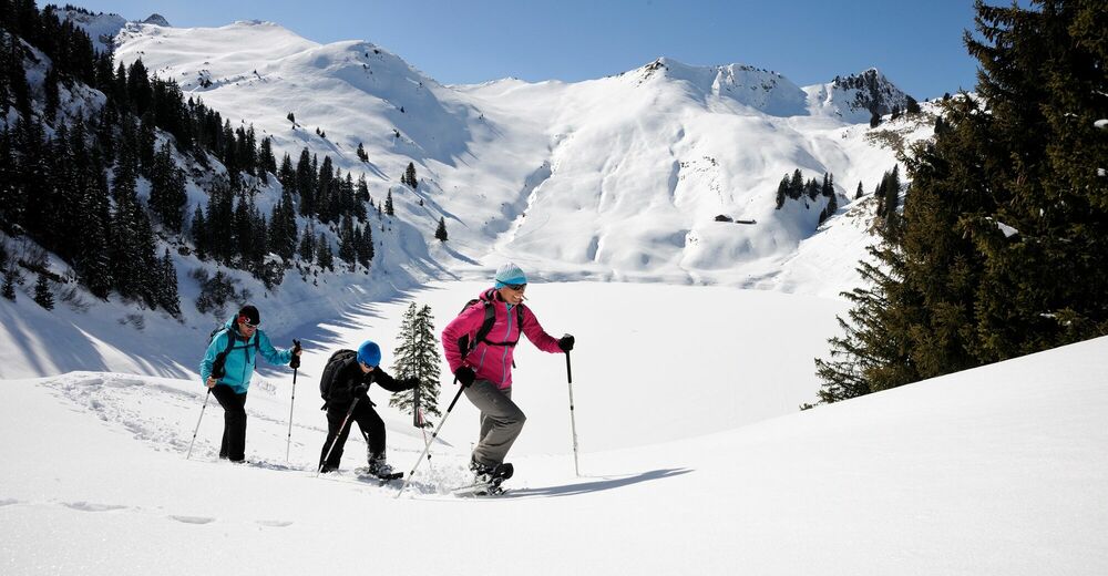
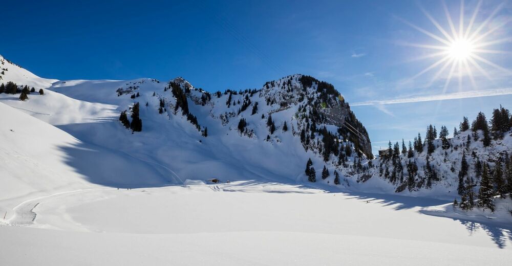
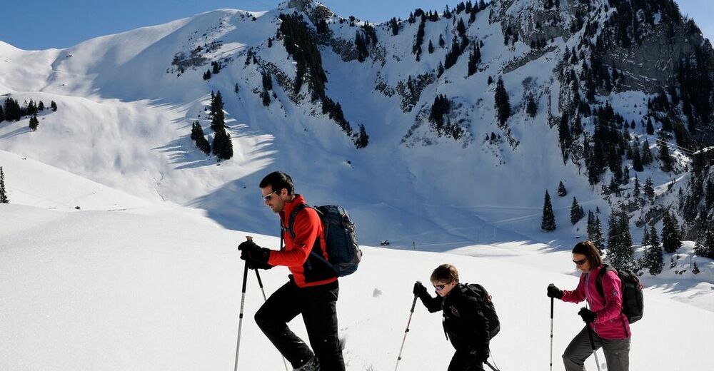
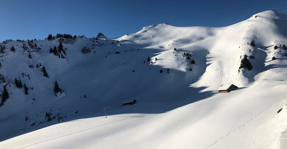
A wonderful circular hike in the Stockhorn area!
- Greutăţi
-
mediu
- Evaluare
-
- Ruta
-
Chrindi (1.649 m)0,0 kmCheibehore (1.952 m)2,7 kmBerggasthaus Oberstockenalp4,9 km
- Cel mai bun sezon
-
augsepoctnovdecianfebmaraprmaiiuniul
- Cel mai înalt punct
- 1.910 m
- Destinație
-
Chrindi
- Profil de elevație
-
 © outdooractive.com


-

-
AutorTurul Around the Cheibehorn on the Stockhorn este utilizat de outdooractive.com furnizat.
GPS Downloads


Informaţii generale
Sfat din interior
Mai multe tururi în regiuni