- Scurtă descriere
-
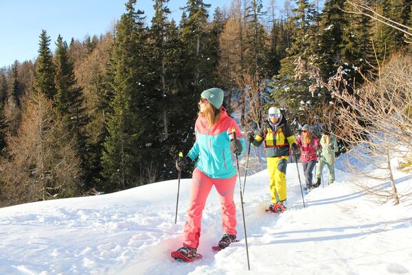
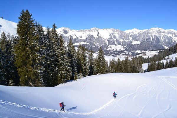
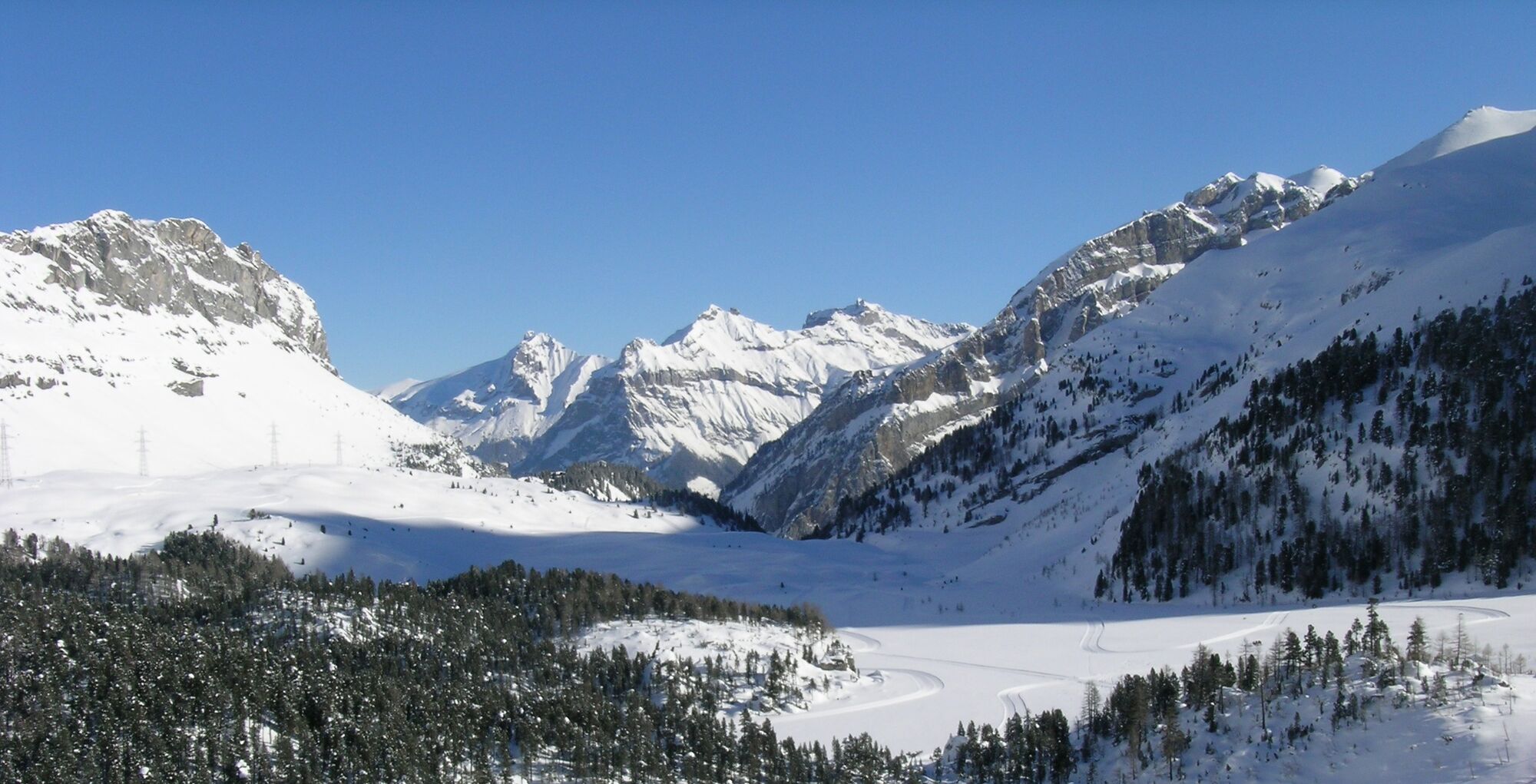
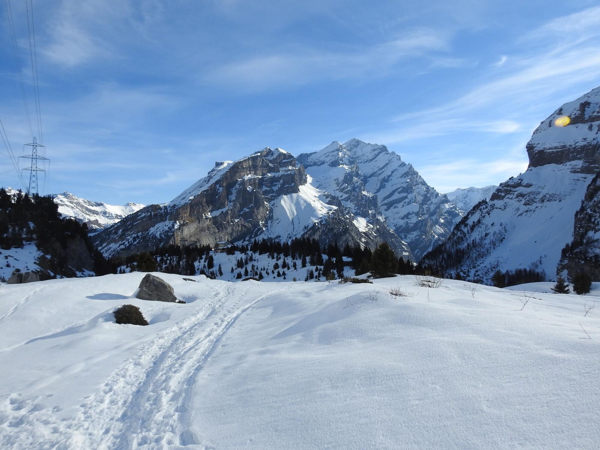
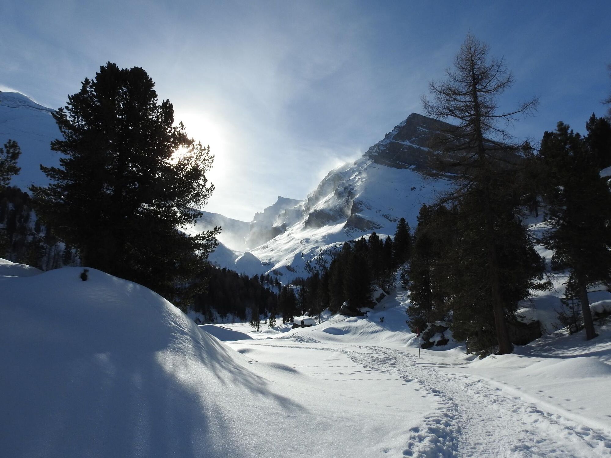
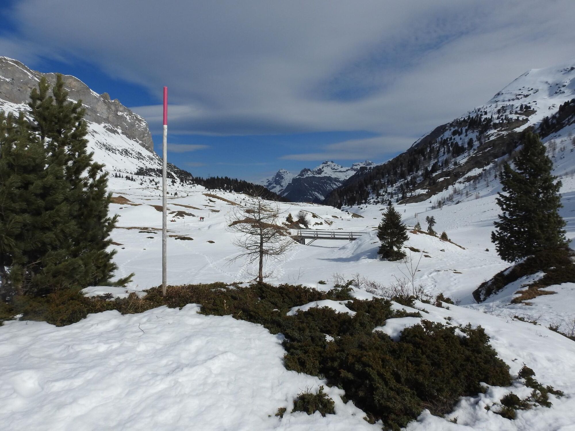
Starting from the Sunnbüel mountain station, the marked trail leads beyond the winter hiking trail to the Spittelmatte (1853 m), past an mountain hut and back to the starting point.
- Greutăţi
-
mediu
- Evaluare
-
- Ruta
-
SunnbüelAltelshütte0,2 kmAltelshütte4,5 kmSunnbüel4,7 km
- Cel mai bun sezon
-
augsepoctnovdecianfebmaraprmaiiuniul
- Cel mai înalt punct
- 1.963 m
- Destinație
-
Sunnbüel
- Profil de elevație
-
 © outdooractive.com
-

-
AutorTurul Spittelmatte Trail - Kandersteg (sig.) este utilizat de outdooractive.com furnizat.
GPS Downloads


Informaţii generale
Oprire pentru băuturi răcoritoare
Mai multe tururi în regiuni