
- Scurtă descriere
-
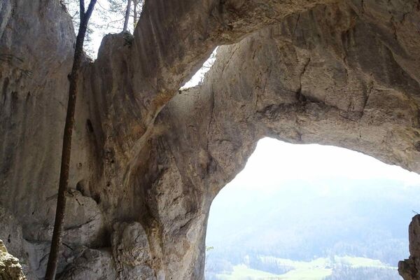
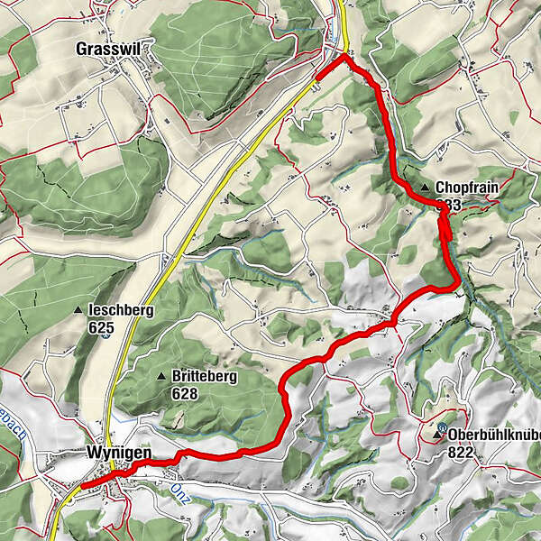
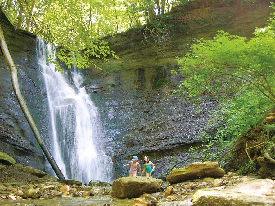
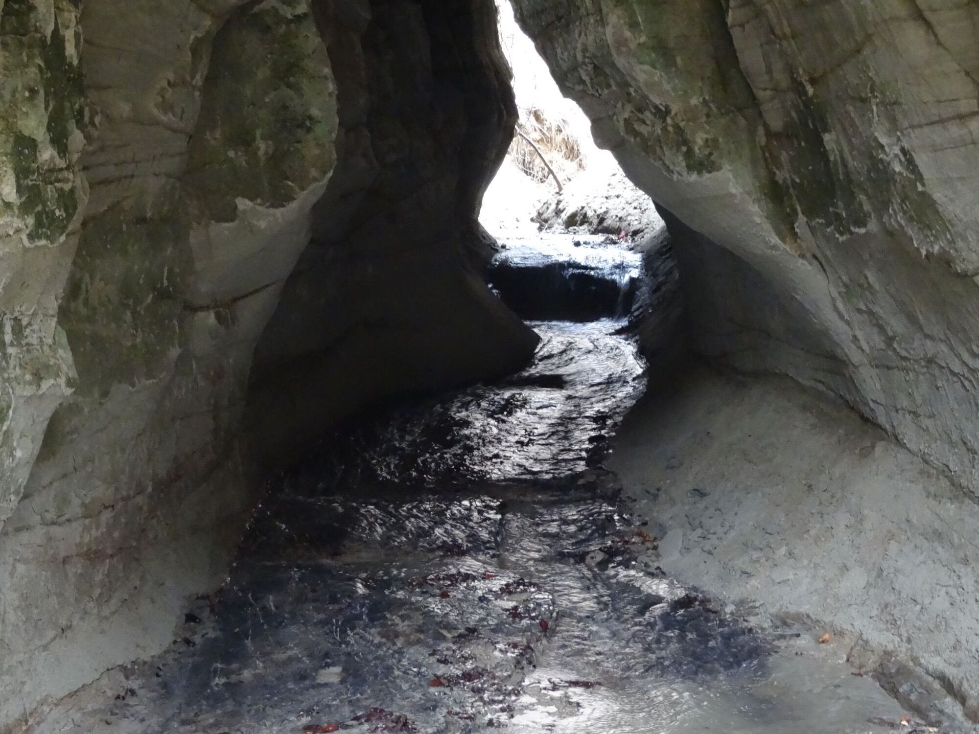
A hike through the peaceful wooded Mutzgraben to the 14 m high Mutzbach Waterfall, then on to Wynigen over the gently undulating heights of the Wynigenberge. Short sections are on paved surfaces, even outside the residential area.
- Greutăţi
-
uşor
- Evaluare
-
- Ruta
-
Riedtwil0,2 kmschöner Ort1,4 kmMutzbachtalhöhle1,5 kmChopfrain (633 m)2,0 kmMutzbachfall2,2 kmRüedisbach4,0 kmWynigen7,8 kmLandgasthof Linde7,9 kmBahnhof8,1 km
- Cel mai bun sezon
-
ianfebmaraprmaiiuniulaugsepoctnovdec
- Cel mai înalt punct
- 694 m
- Destinație
-
Wynigen
- Profil de elevație
-
 © outdooractive.com


-

-
AutorTurul The Mutzbach Waterfall – One of Nature’s gems este utilizat de outdooractive.com furnizat.
GPS Downloads
Mai multe tururi în regiuni
-
Solothurn und Region
1454
-
Wasseramt
677
-
Wynigen
109