
© Destination Gstaad - Destination Gstaad / Melanie Uhkoetter

© Destination Gstaad - Destination Gstaad / Melanie Uhkoetter
© Destination Gstaad - Destination Gstaad / Melanie Uhkoetter

© Destination Gstaad - Destination Gstaad / Melanie Uhkoetter

© Destination Gstaad - Destination Gstaad / Melanie Uhkoetter

© Destination Gstaad - Destination Gstaad / Melanie Uhkoetter

© Destination Gstaad - Destination Gstaad / Melanie Uhkoetter
- Scurtă descriere
-
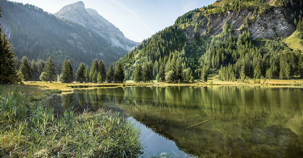
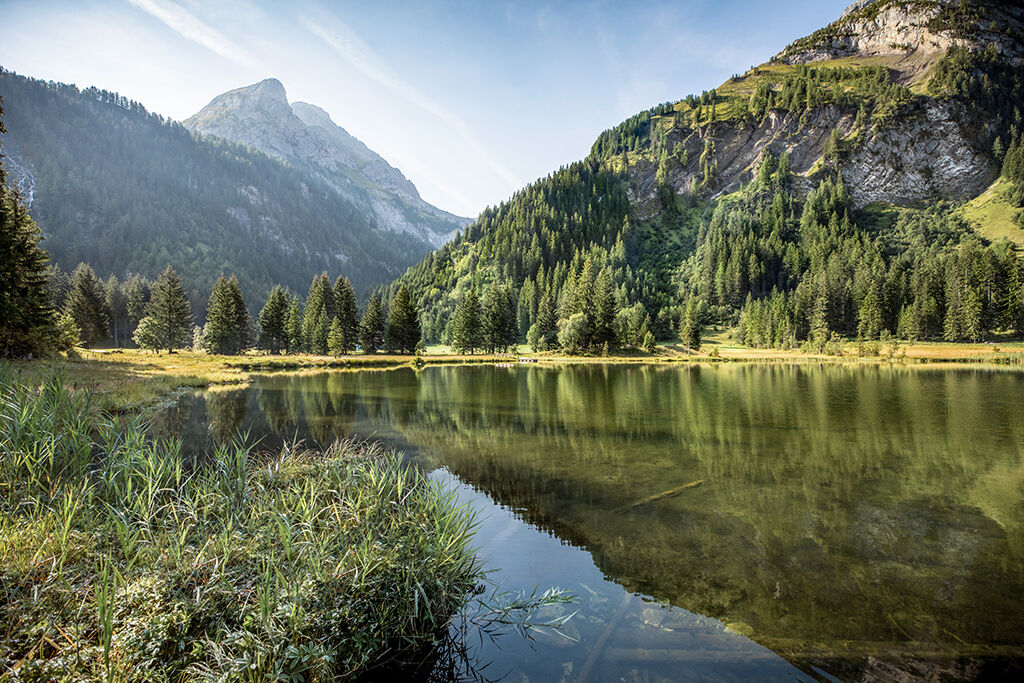
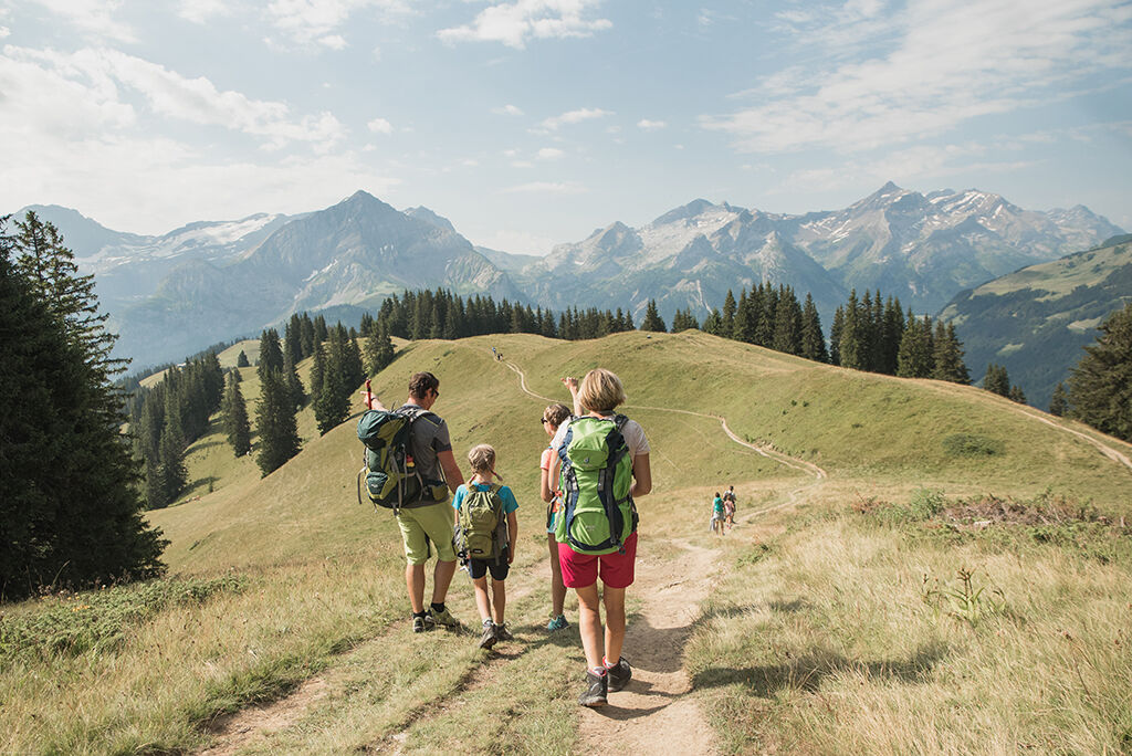
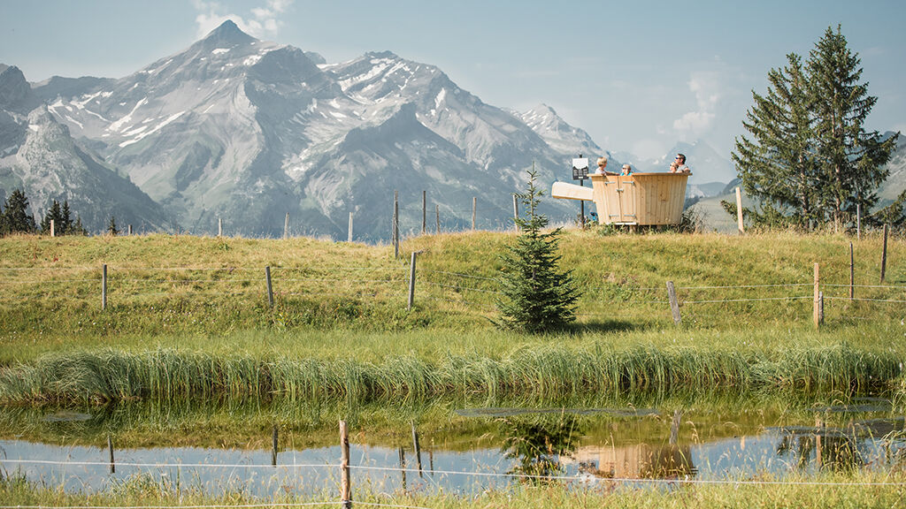
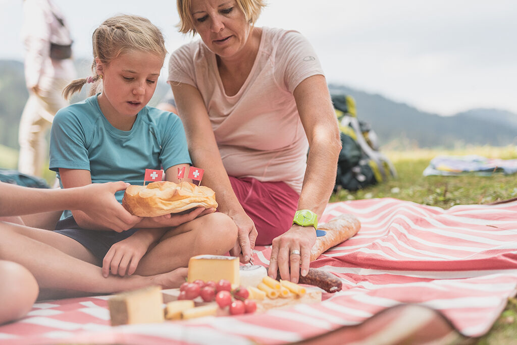
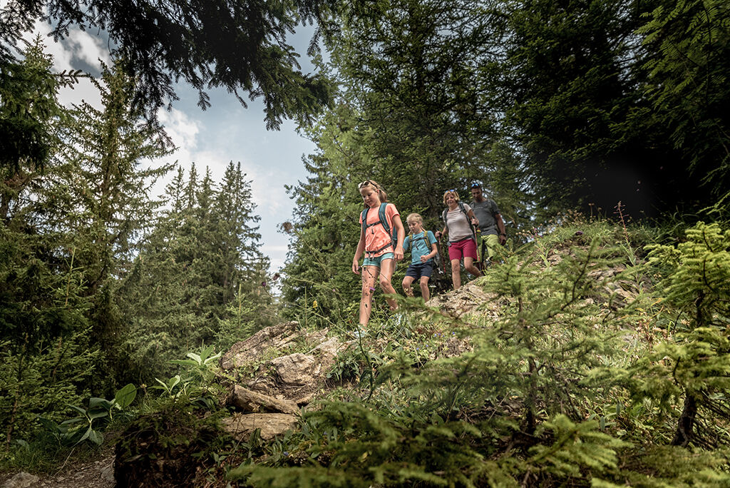
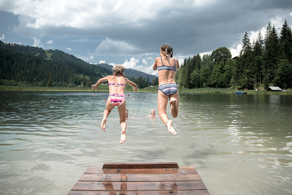
Hike along the Wispile mountain ridge and enjoy the great view over the Saanenland with sight to our high peaks. At the end of the trail, the famous Lake Lauenen awaits you.
- Greutăţi
-
mediu
- Evaluare
-
- Ruta
-
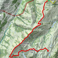
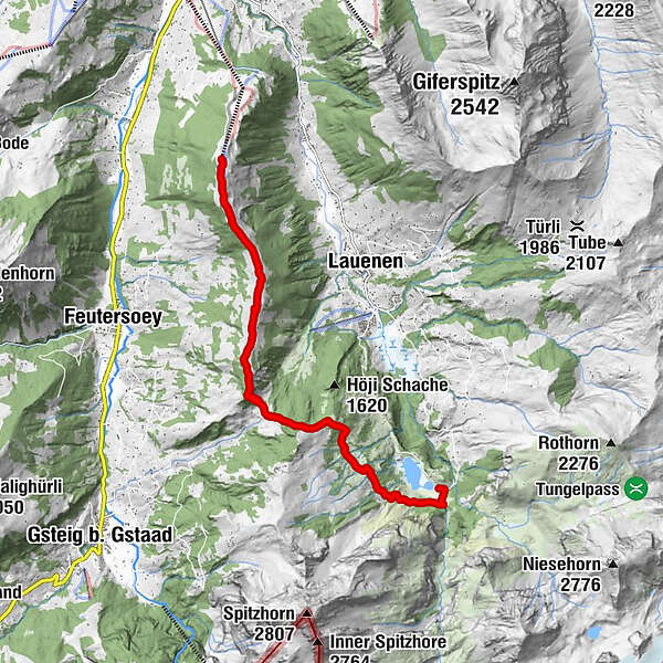
Berghaus Wispile0,0 kmWispile0,3 kmMattenstübli Beizli9,0 kmBühlhaus Lauenensee9,3 km
- Cel mai bun sezon
-
ianfebmaraprmaiiuniulaugsepoctnovdec
- Cel mai înalt punct
- 1.916 m
- Destinație
-
Lake Lauenen
- Profil de elevație
-
 © outdooractive.com
-

-
AutorTurul Wispile - Chrine - Lauenensee este utilizat de outdooractive.com furnizat.
GPS Downloads


Informaţii generale
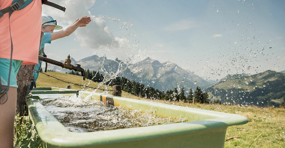
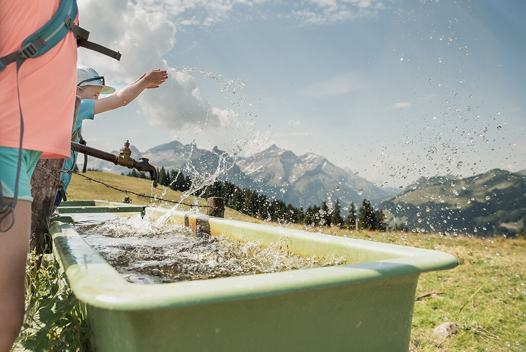
Oprire pentru băuturi răcoritoare
Promițător
Mai multe tururi în regiuni
-
Thyon les Collons
1435
-
Destination Gstaad
742
-
Lauenen
214