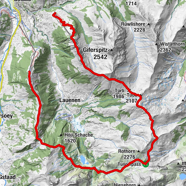
Wispile – Lauenensee – Tungelpass – Wasserngrat

Trailrunning

© Destination Gstaad - Destination Gstaad / Tom Malecha

© Destination Gstaad - Destination Gstaad / Tom Malecha


© Destination Gstaad - Destination Gstaad / Tom Malecha
© Destination Gstaad - Destination Gstaad / Tom Malecha
- Scurtă descriere
-
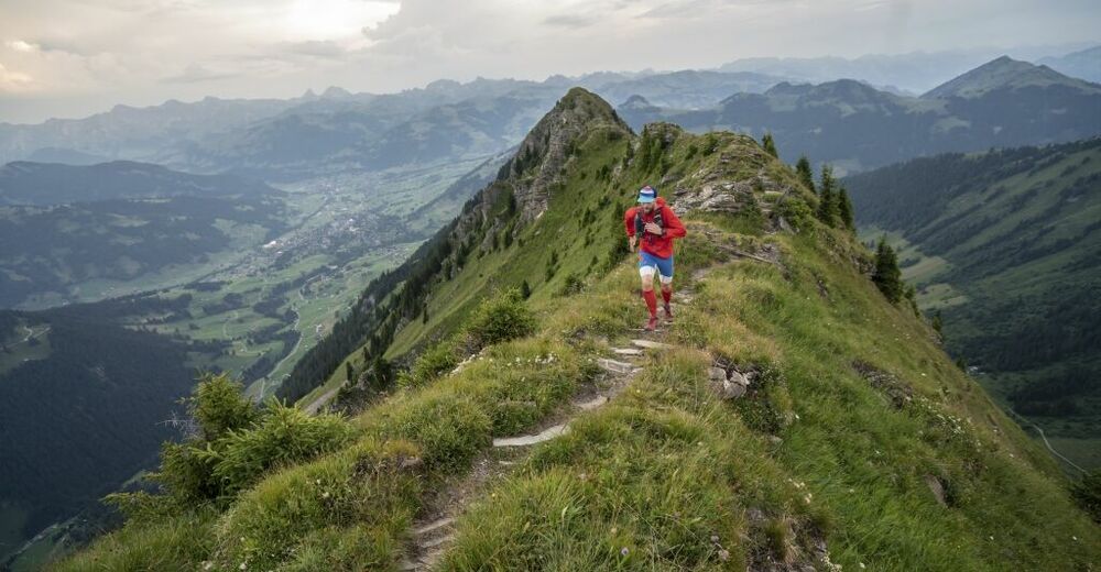
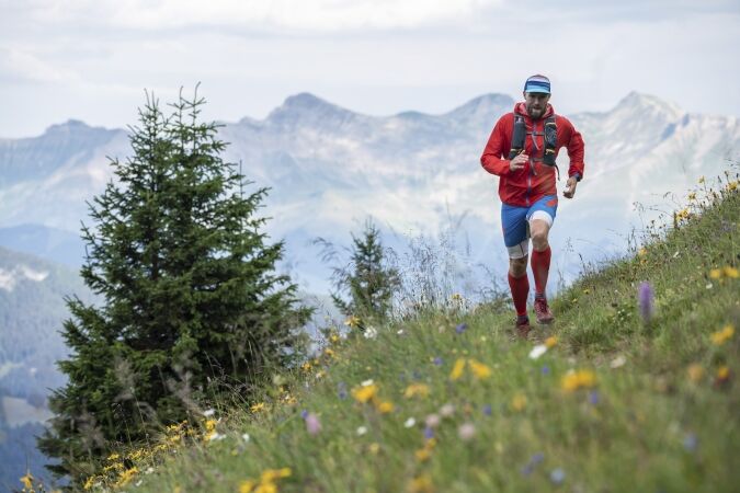
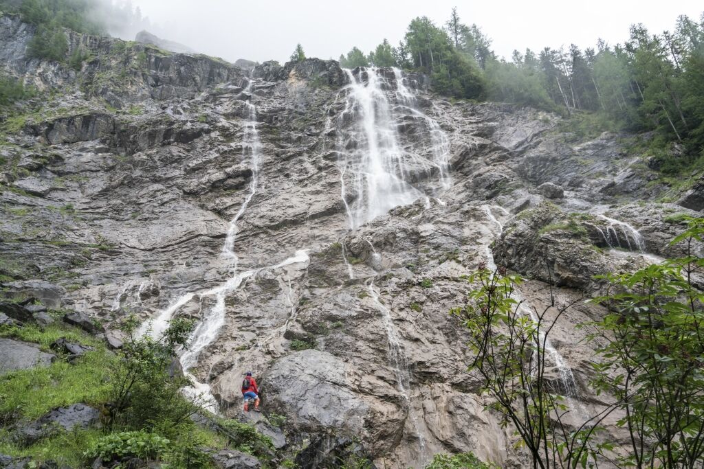
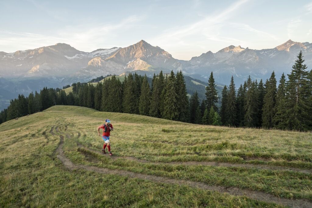
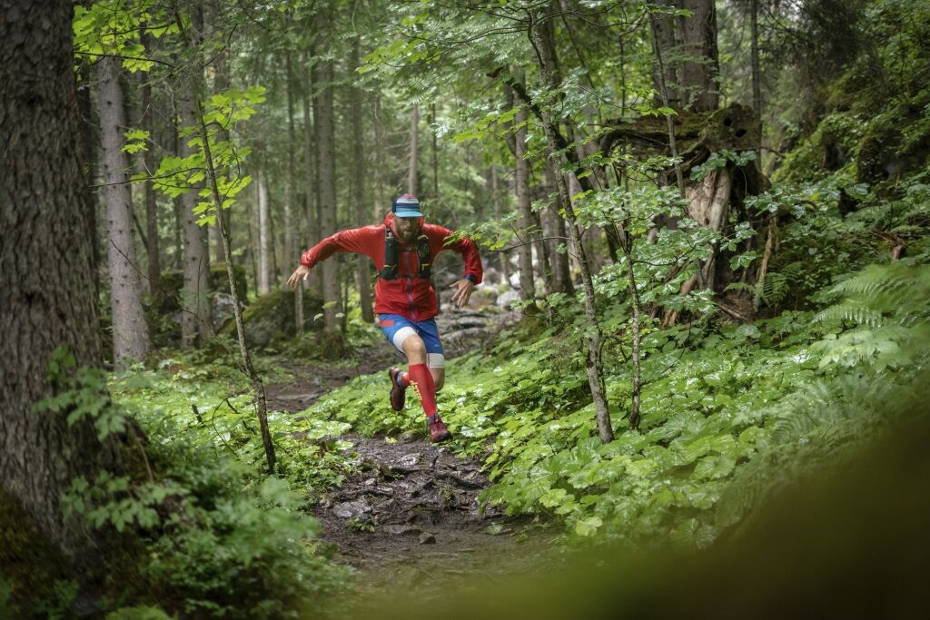
Challenging trail up on the heights of the Lauenen valley.
- Greutăţi
-
greu
- Evaluare
-
- Ruta
-
Berghaus Wispile0,0 kmWispile0,3 kmTungelschuss9,2 kmTungelpass13,0 kmStüblenipass (1.992 m)15,5 kmTrütlisbergpass (2.032 m)17,7 kmTube (2.107 m)18,0 kmTürli (1.986 m)18,8 kmTurnelssattel (2.085 m)21,1 kmWandeliflue (2.202 m)22,5 kmStand (2.190 m)23,0 kmEagles Ski Club24,2 km
- Cel mai bun sezon
-
ianfebmaraprmaiiuniulaugsepoctnovdec
- Cel mai înalt punct
- 2.189 m
- Destinație
-
Talstation Wasserngrat Bahn, Scheidbachstrasse 2, 3780 Gstaad
- Profil de elevație
-
 © outdooractive.com

-

-
AutorTurul Wispile – Lauenensee – Tungelpass – Wasserngrat este utilizat de outdooractive.com furnizat.
GPS Downloads


Informaţii generale
Oprire pentru băuturi răcoritoare
Sfat din interior
Flora
Fauna
Promițător
Mai multe tururi în regiuni
-
Thyon les Collons
85
-
Destination Gstaad
38
-
Lauenen
21