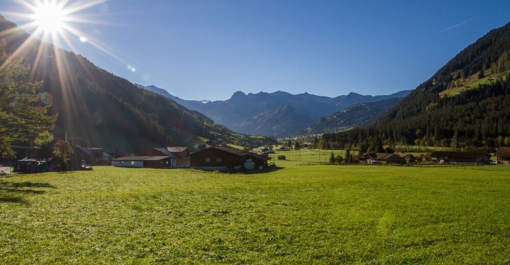
© Swiss Alpine Adventure - Dave O'Riordan
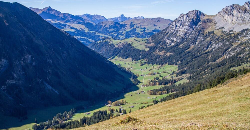
© Swiss Alpine Adventure - Dave O'Riordan
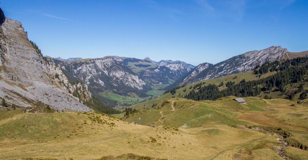
© Swiss Alpine Adventure - Dave O'Riordan
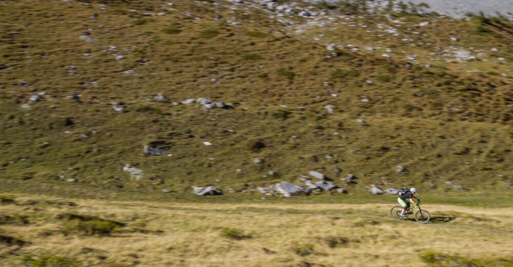
© Swiss Alpine Adventure - Dave O'Riordan
- Scurtă descriere
-
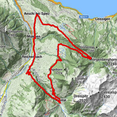
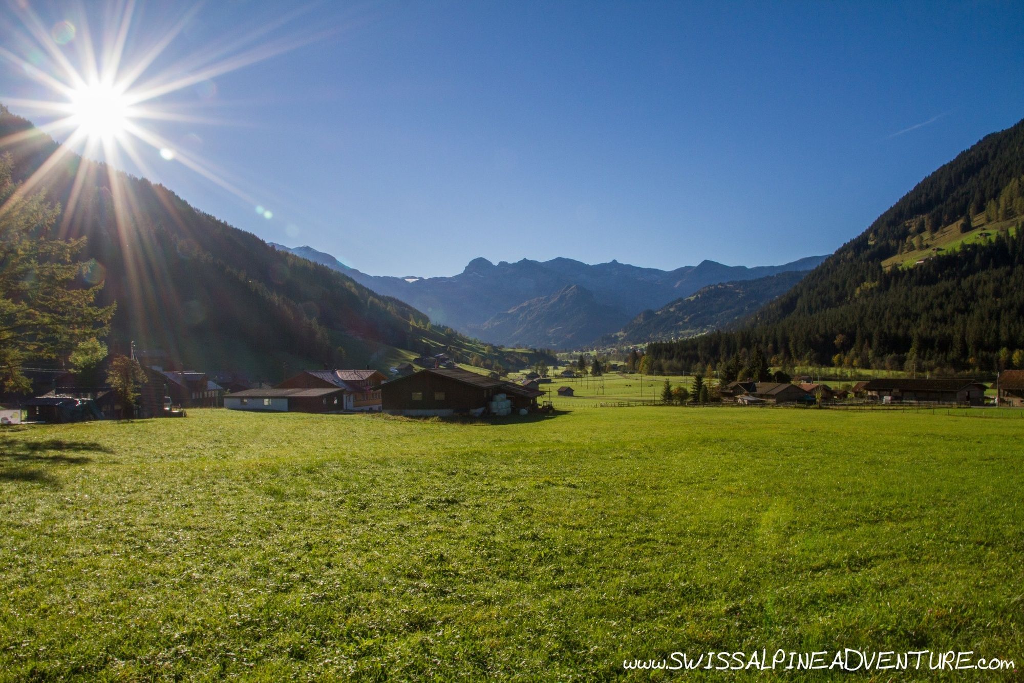
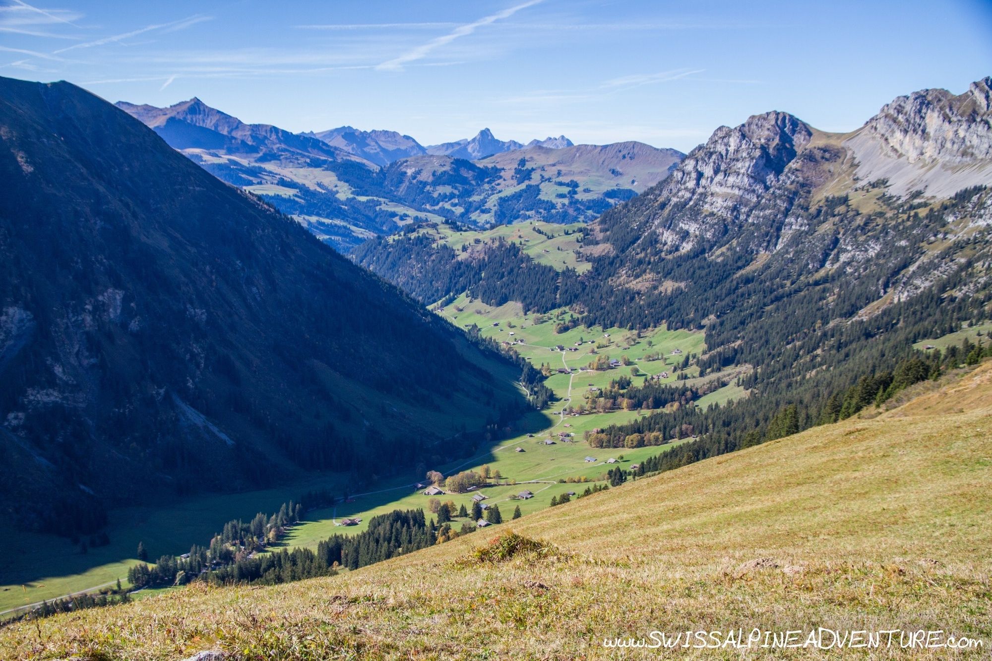
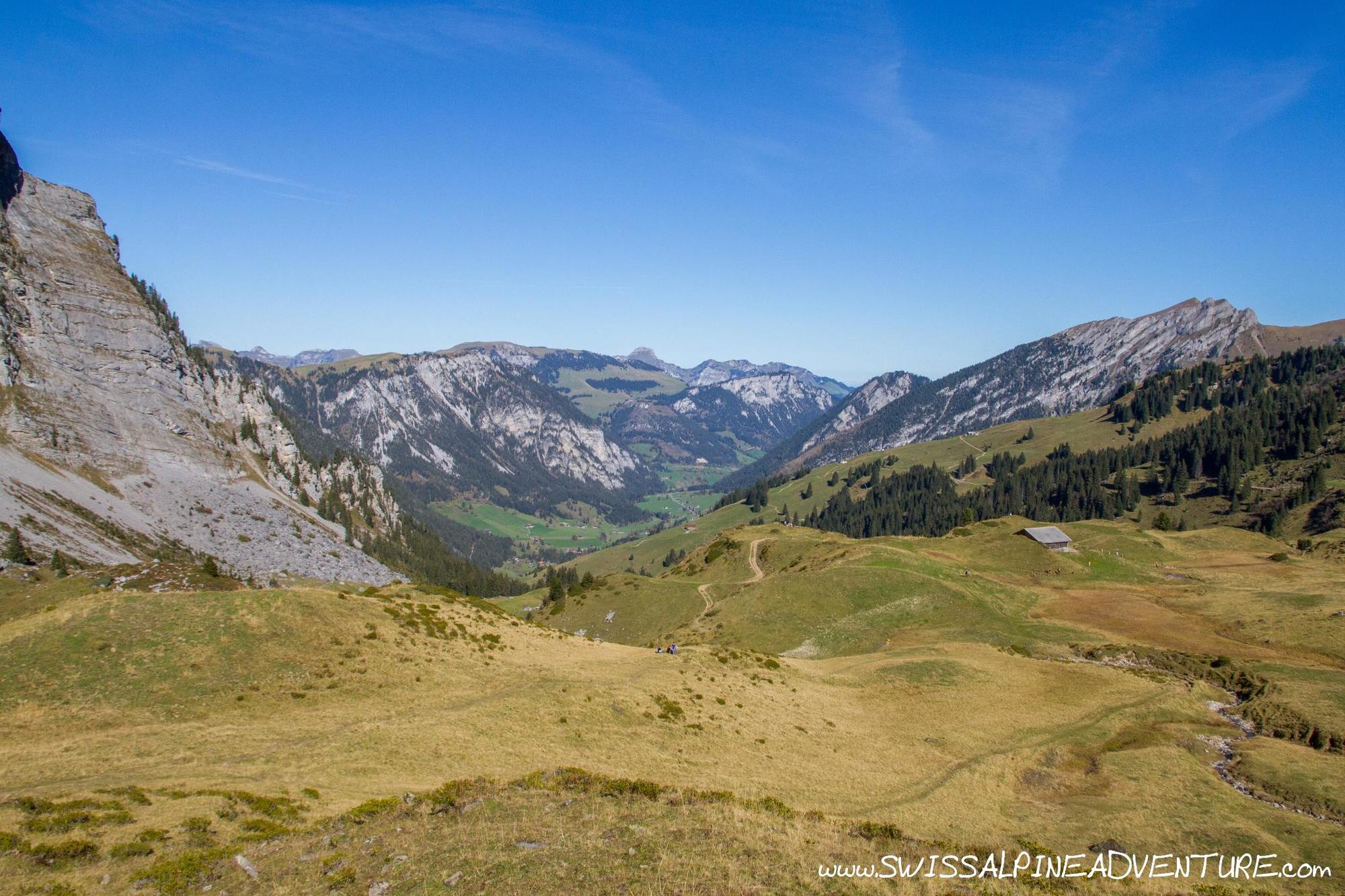
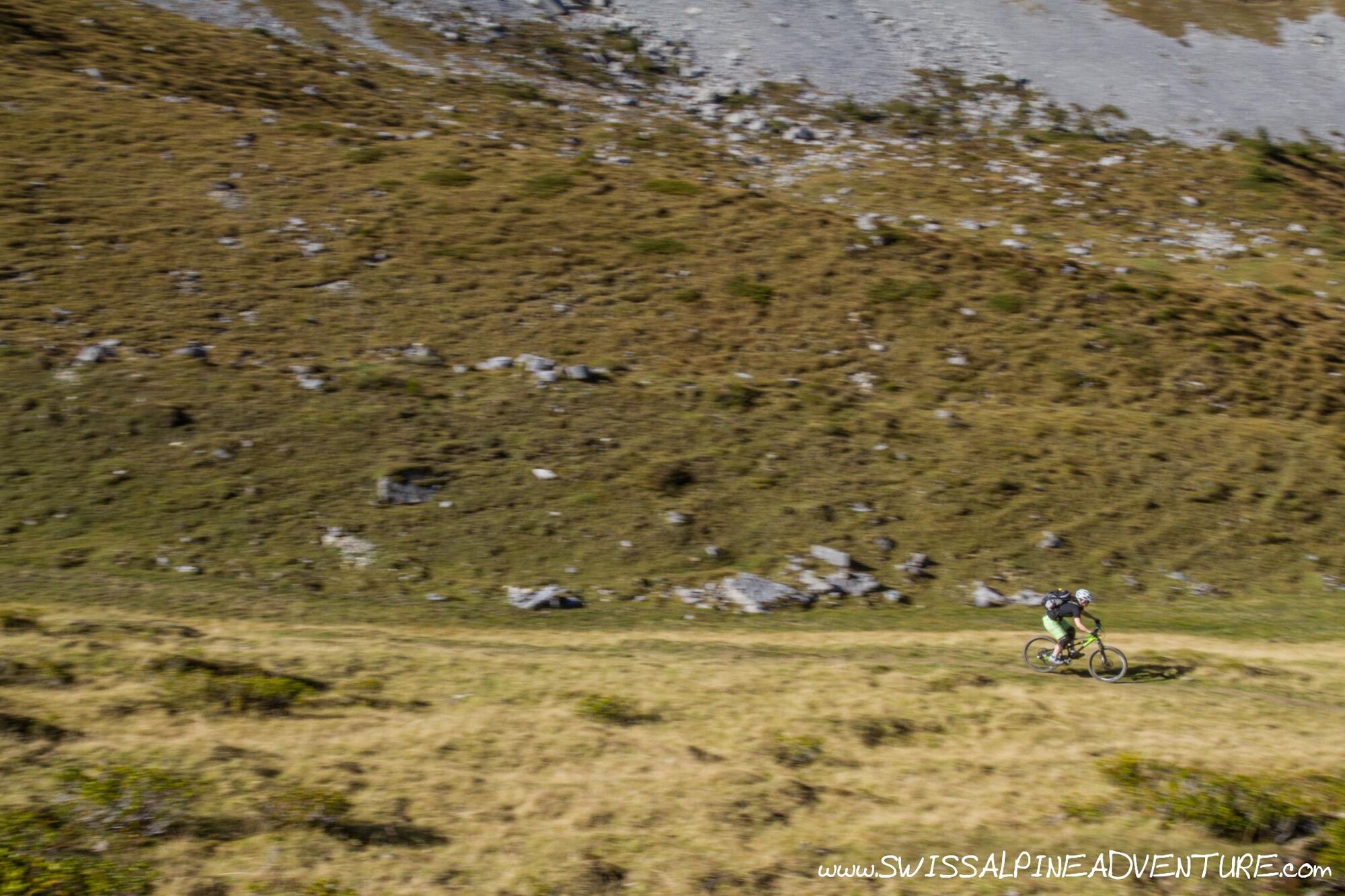
This tour is a scenic tour through some incredibly pretty valleys in the Berner Oberland. The Farmel valley is remote and stunningly beautiful with some of the surrounding mountains almost having a feel of the Dolomites to them. Once over the Grimmifurrgi the descent into the Diemtig valley is sometimes a little difficult with a trail that is often difficult to follow. From Grimmialp there is a singletrail following the main road down the valley almost the whole way to Wimmis.
- Greutăţi
-
mediu
- Evaluare
-
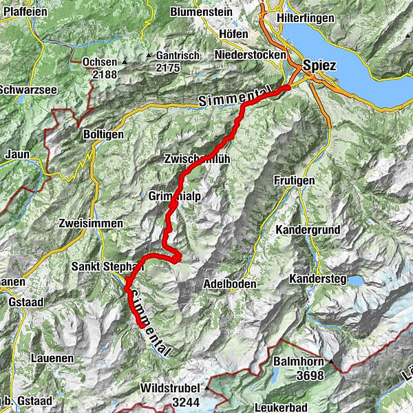
- Ruta
-
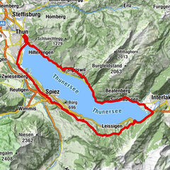
Lenk im Simmental (1.068 m)Lenk (1.068 m)0,2 kmBerghölzli5,5 kmMatten5,5 kmSchwäfelbrünneli8,3 kmRestaurant Alpenrose9,2 kmStalde9,3 kmZil9,7 kmBachti9,8 kmBüel10,4 kmAm Vordere Berg12,6 kmFärmelmeder15,3 kmGrimmifurggi (2.023 m)17,0 kmEggli22,8 kmSpillgerten22,8 kmGrimmialp23,2 kmGrimmialp (1.235 m)24,3 kmRestaurant Circus-Schenke25,9 kmZwischenflüh29,1 kmDiemtigen Riedli30,7 kmRiedli31,0 kmEntschwil32,4 kmDiemtigen36,9 kmBächlen37,1 kmOey (669 m)38,4 kmOey-Diemtigen (670 m)38,6 kmLatterbach (700 m)38,7 kmPort42,6 kmWimmis43,5 kmWimmis (629 m)43,7 km
- Cel mai bun sezon
-
ianfebmaraprmaiiuniulaugsepoctnovdec
- Cel mai înalt punct
- 2.013 m
- Destinație
-
Wimmis Train Station
- Profil de elevație
-
 © outdooractive.com
-

-
AutorTurul Lenk - Grimmifurggi - Diemtigtal - Wimmis este utilizat de outdooractive.com furnizat.
GPS Downloads


Benzi de circulaţie
Verificare
Informaţii generale
Promițător
Mai multe tururi în regiuni