© Tourenportal Berchtesgadener Land - Bergerlebnis Berchtesgaden

© Tourenportal Berchtesgadener Land - Bergerlebnis Berchtesgaden

© Kempinski Hotel Berchtesgaden

© Tourenportal Berchtesgadener Land - Bergerlebnis Berchtesgaden

© Tourenportal Berchtesgadener Land - Bergerlebnis Berchtesgaden

© Tourenportal Berchtesgadener Land - Bergerlebnis Berchtesgaden

© Tourenportal Berchtesgadener Land - Bergerlebnis Berchtesgaden

© Tourenportal Berchtesgadener Land - Bergerlebnis Berchtesgaden
Informaţii pentru tur
10,41km
888
- 1.038m
245hm
242hm
02:00h

- Scurtă descriere
-
Aussichtreiche Wanderung am Obersalzberg
- Greutăţi
-
uşor
- Evaluare
-
- Ruta
-
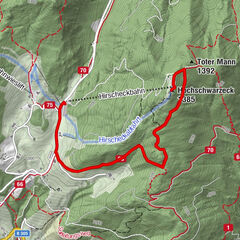
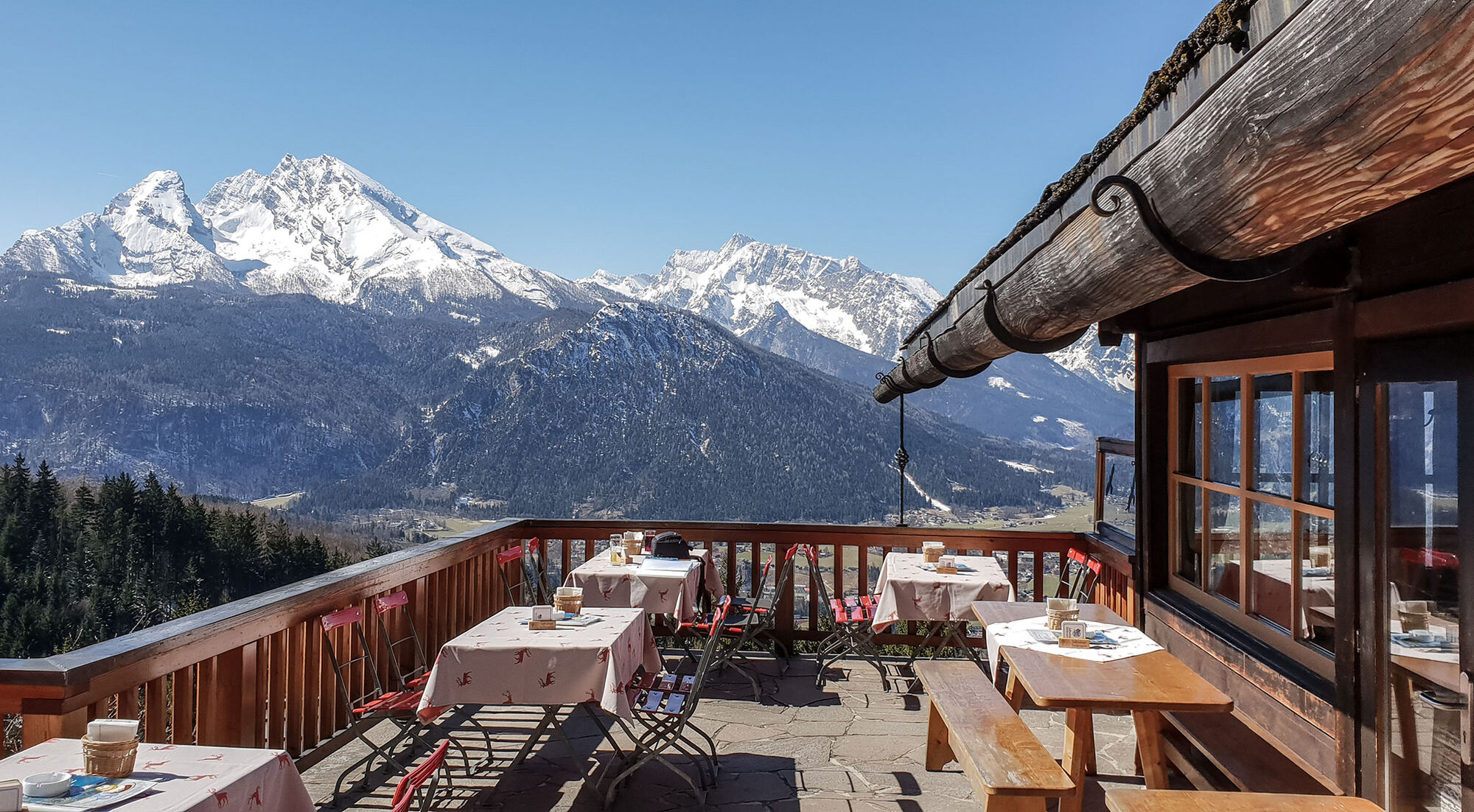
Berggasthof Obersalzberg0,1 kmAlpengasthof Hochlenzer2,4 kmAlpengasthaus Graflhöhe3,2 kmWindbeutelbaron3,2 kmWindbeutelbaron7,1 kmAlpengasthaus Graflhöhe7,1 kmAlpengasthof Hochlenzer8,0 kmBerggasthof Obersalzberg10,3 km
- Cel mai bun sezon
-
augsepoctnovdecianfebmaraprmaiiuniul
- Cel mai înalt punct
- 1.038 m
- Destinație
-
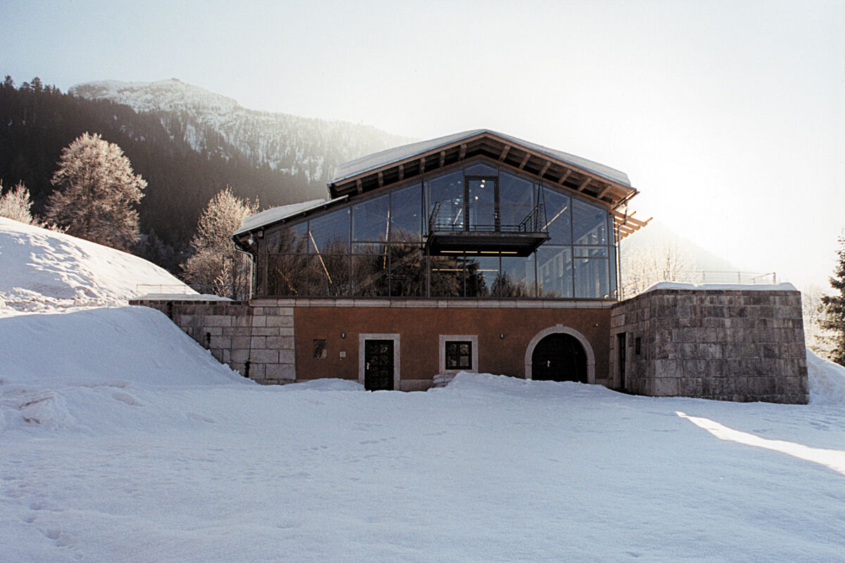
Dokumentation Obersalzberg
- Profil de elevație
-
 © outdooractive.com


-

-
AutorTurul Carl von Linde Weg este utilizat de outdooractive.com furnizat.
GPS Downloads


Informaţii generale
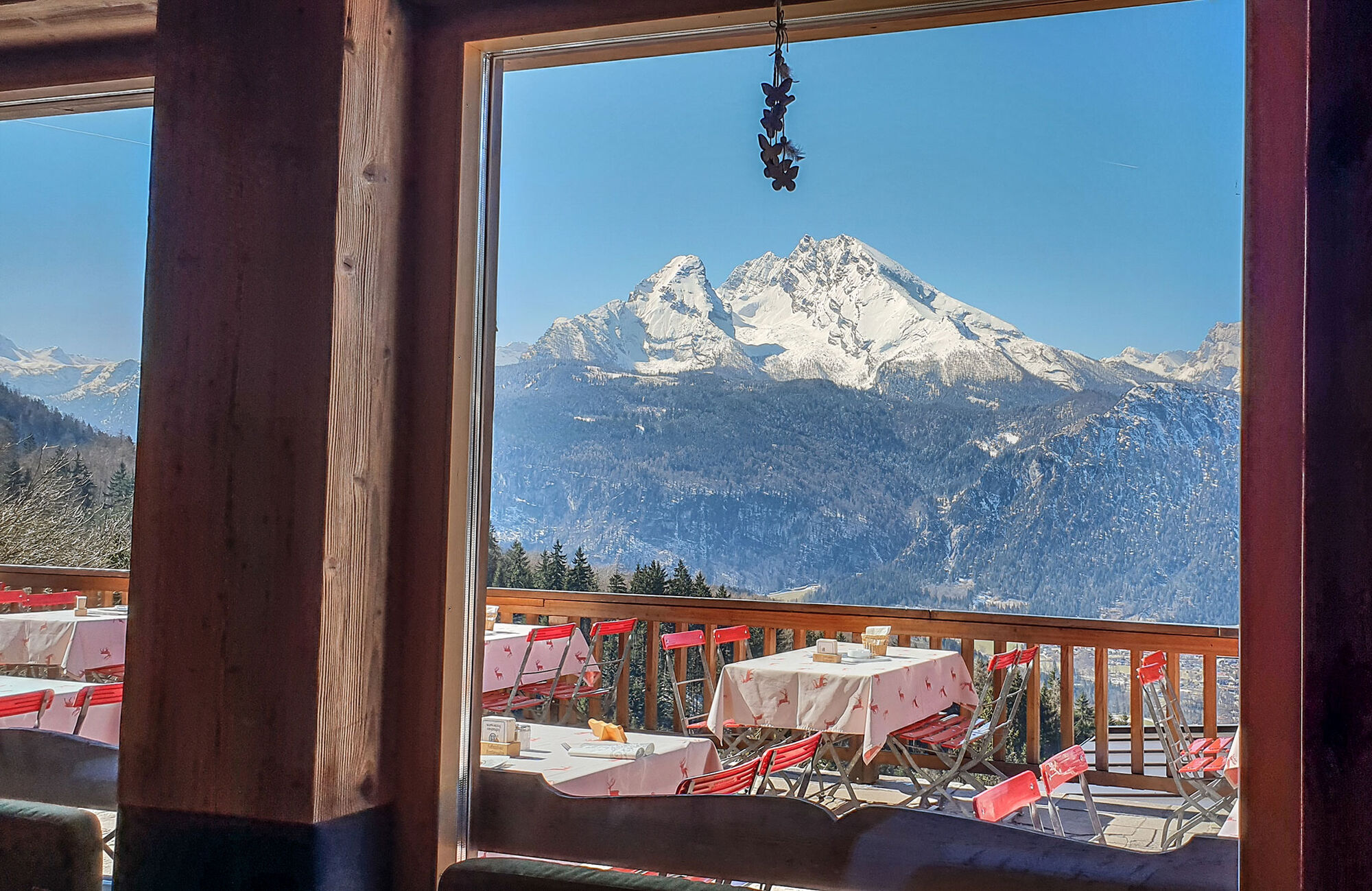
Oprire pentru băuturi răcoritoare
Cultural/Istoric
Mai multe tururi în regiuni