© www.nesselwang.de
Informaţii pentru tur
2,74km
912
- 1.447m
532hm
02:30h
- Evaluare
-
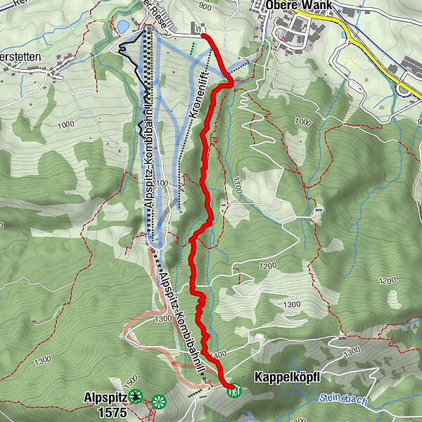
- Punct de pornire
-
Alpengasthof Sonnenbichl
- Ruta
-
NesselwangBerggasthof Sportheim Böck2,7 kmBergLodge (1.480 m)2,7 km
- Cel mai înalt punct
- 1.447 m
- Odihnă/Retragere
-
Auf höhe Mittelstation ist eine Rast auf der Kronenhütte möglich. Dann wieder am Ziel im Sporheim Böck.
GPS Downloads


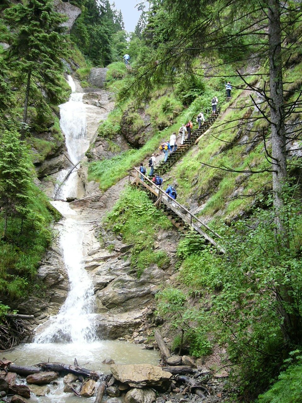
Condiții de traseu
Asfalt
Pietriş/prundiş/grohotiş
Livadă/pajişte
Pădure
Stâncă
Expus
Mai multe tururi în regiuni
-
Allgäu
2367
-
Tannheimer Tal
1458
-
Alpspitz / Edelsberg
395