Informaţii pentru tur
12,08km
592
- 736m
264hm
258hm
04:00h
- Scurtă descriere
-
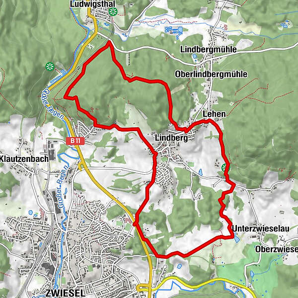
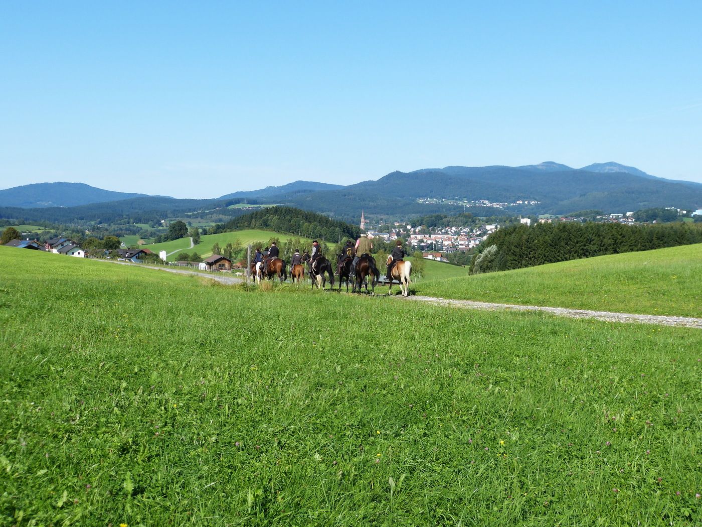
Startpunkt und Streckenverlauf:
Parkplatz Rotwald – Lindberg – Rotkot – Glasmacherkapelle – Schartenstraße – Lohwaldhäng – Hochleiten – Lindberg - Riesweg – Riesstüberl – Fischweiher – Benat - Haarholz – Parkplatz Rotwald
Markierung: rot 26 - Greutăţi
-
uşor
- Evaluare
-
- Punct de pornire
-
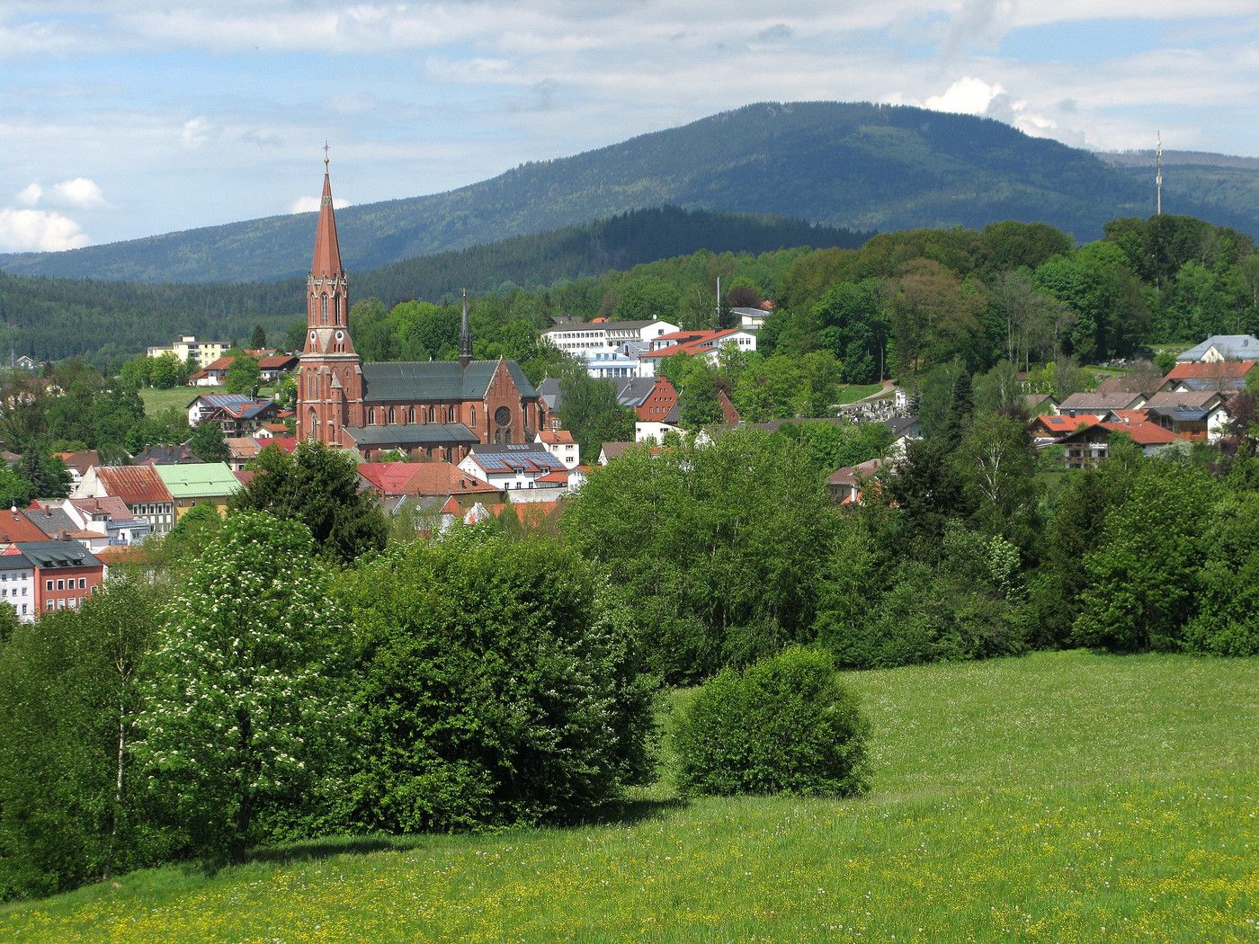
Parkplatz Rotwald in Zwiesel
- Ruta
-
Lindberg1,1 kmGlasmacherkapelle3,4 kmRotkot3,4 kmLindberg6,6 kmLehen7,6 kmGasthaus Riesstüberl8,6 kmUnterzwieselau9,9 km
- Cel mai înalt punct
- 736 m
- Destinație
-
Parkplatz Rotwald in Zwiesel
- Literatură
-
Wanderflyer kostenlos in der Touristinfo Zwiesel erhältlich
- Material pentru hartă
-
Wanderkarte "Zwieseler Winkel" - mit GUTI Gästekarte kostenlos in der Touristinfo Zwiesel erhältlich
GPS Downloads


Mai multe tururi în regiuni
-
Bayerischer Wald
521
-
Lindberg
212