

Informaţii pentru tur
6,77km
677
- 741m
77hm
84hm
01:15h

- Ruta
-
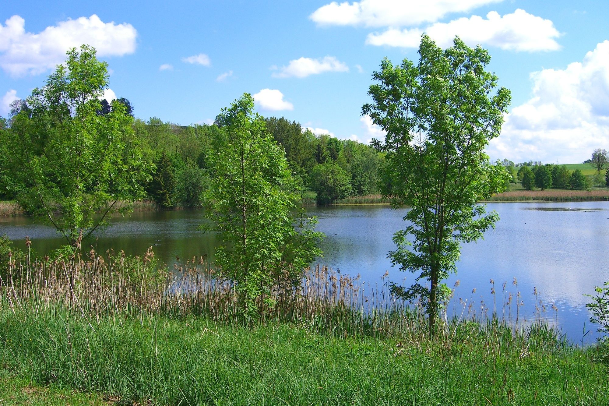
Ludwigshöhe1,0 kmBachtelweiher Garten2,4 kmMoos4,2 kmHinterholz5,2 kmMatthäuskirche6,3 kmKempten (Algovia) (674 m)6,6 km
- Cel mai bun sezon
-
ianfebmaraprmaiiuniulaugsepoctnovdec
- Cel mai înalt punct
- 741 m
- Destinație
-
Parkplatz Lohmühltobel (Engelhaldepark)
- Profil de elevație
-
 © outdooractive.com
- Autor
-
Turul Kempten Nordic Walking Tour: Bachtelweiher este utilizat de outdooractive.com furnizat.
GPS Downloads


Informaţii generale
Oprire pentru băuturi răcoritoare
Mai multe tururi în regiuni
-
Allgäu
101
-
Oberallgäu
63
-
Kempten
10


