

© Shutterstock

© © Maxime Ballet

© © Maxime Ballet

© © Maxime Ballet

© © Maxime Ballet

© © Maxime Ballet

© © Maxime Ballet

© © Maxime Ballet

© © Maxime Ballet

© Shutterstock

- Scurtă descriere
-
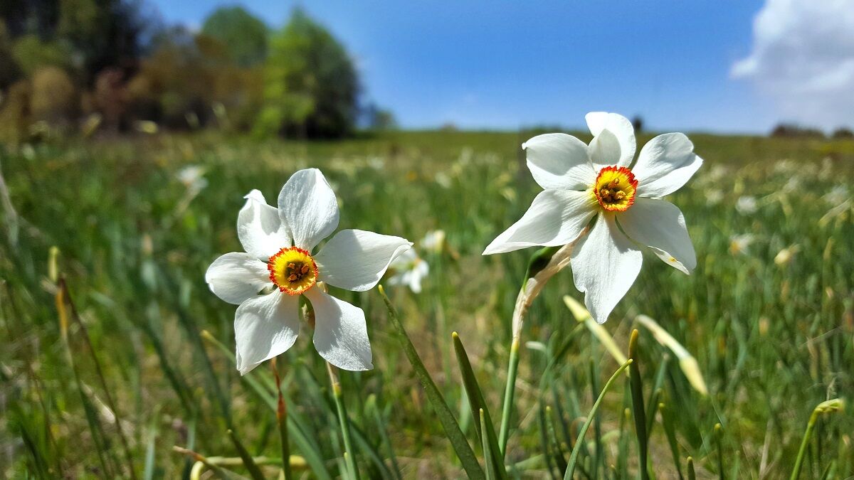
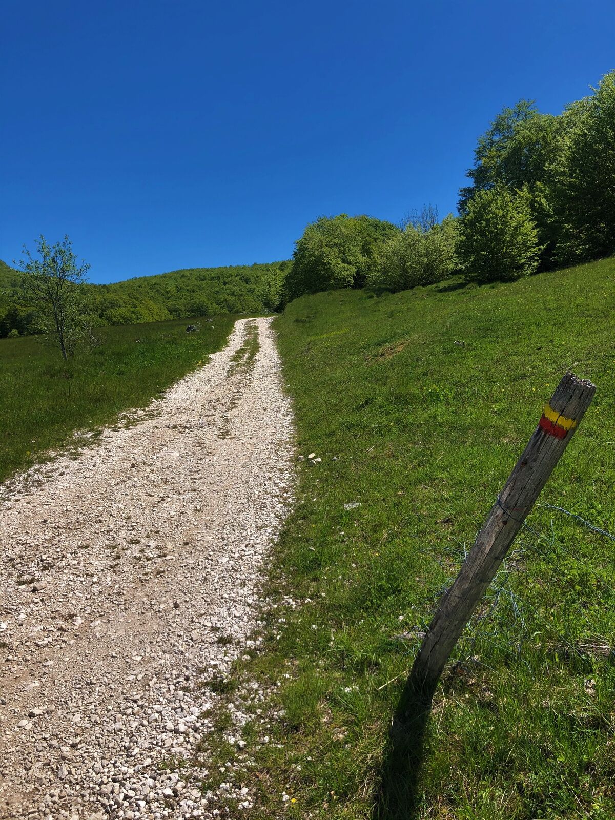
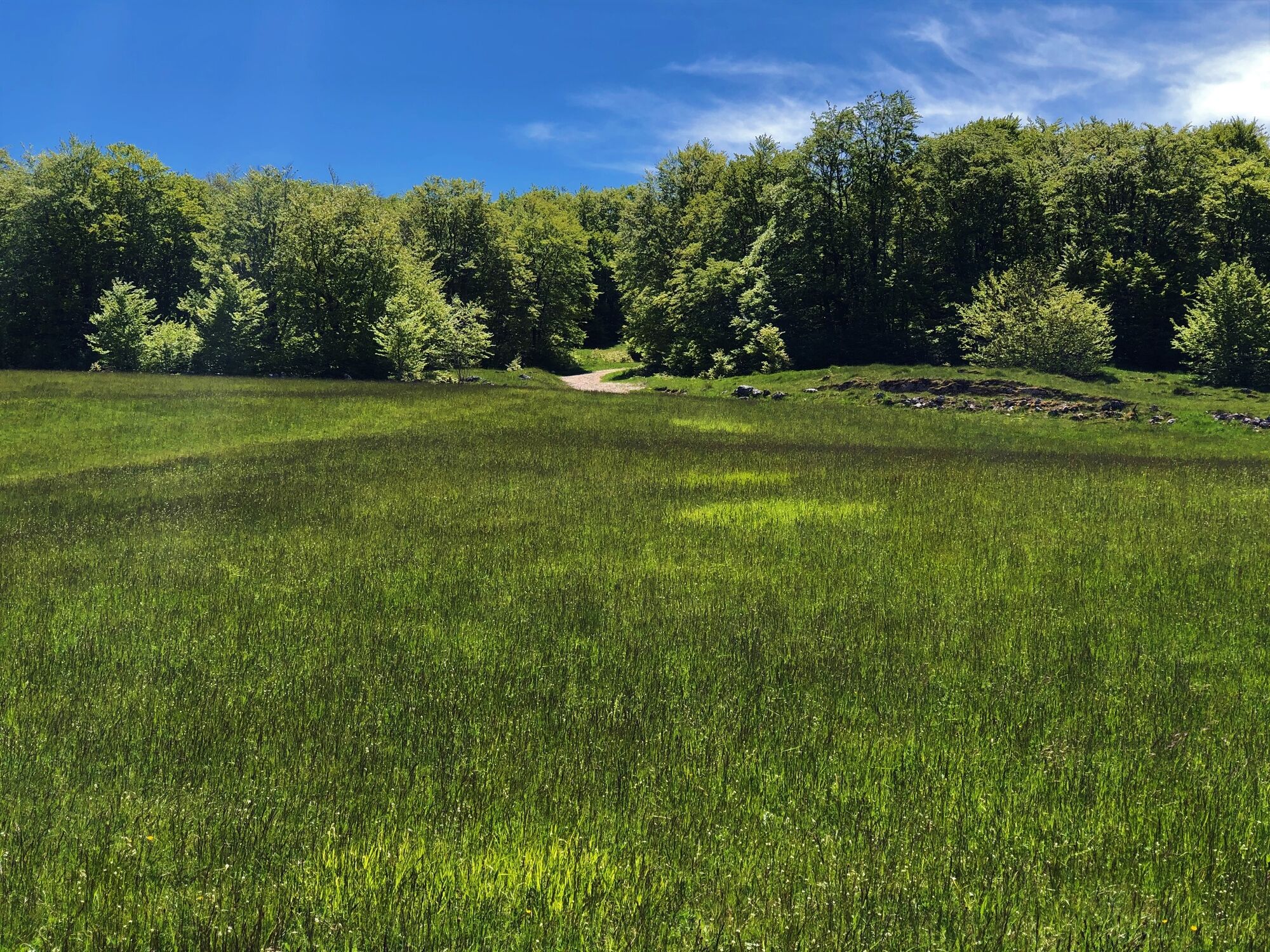
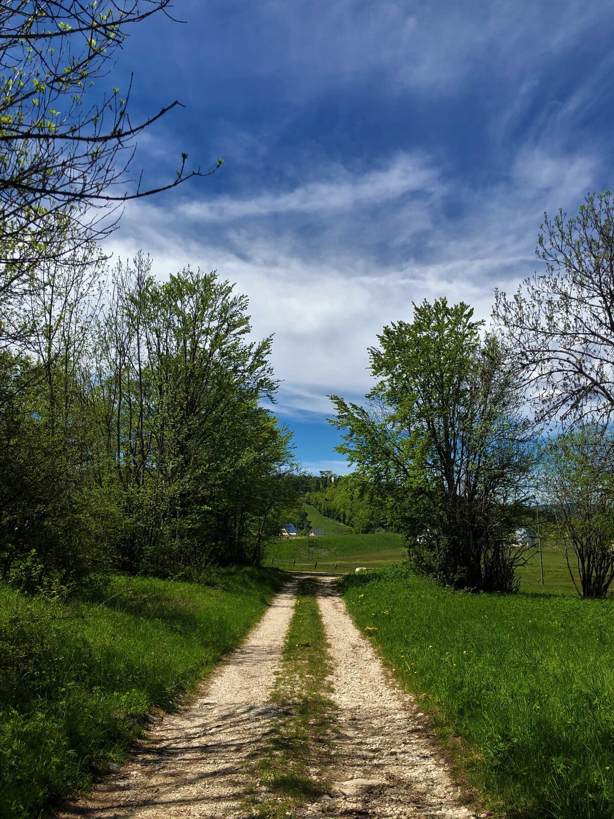
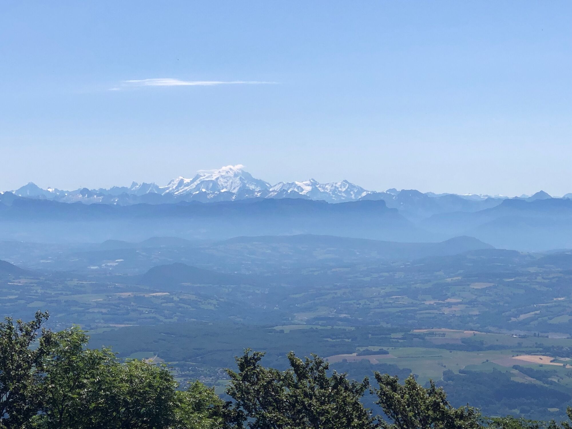
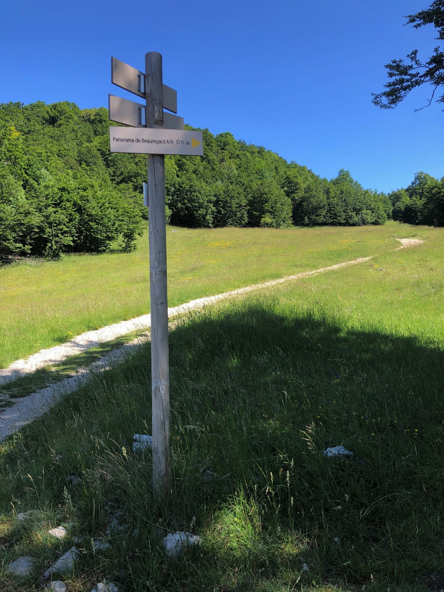
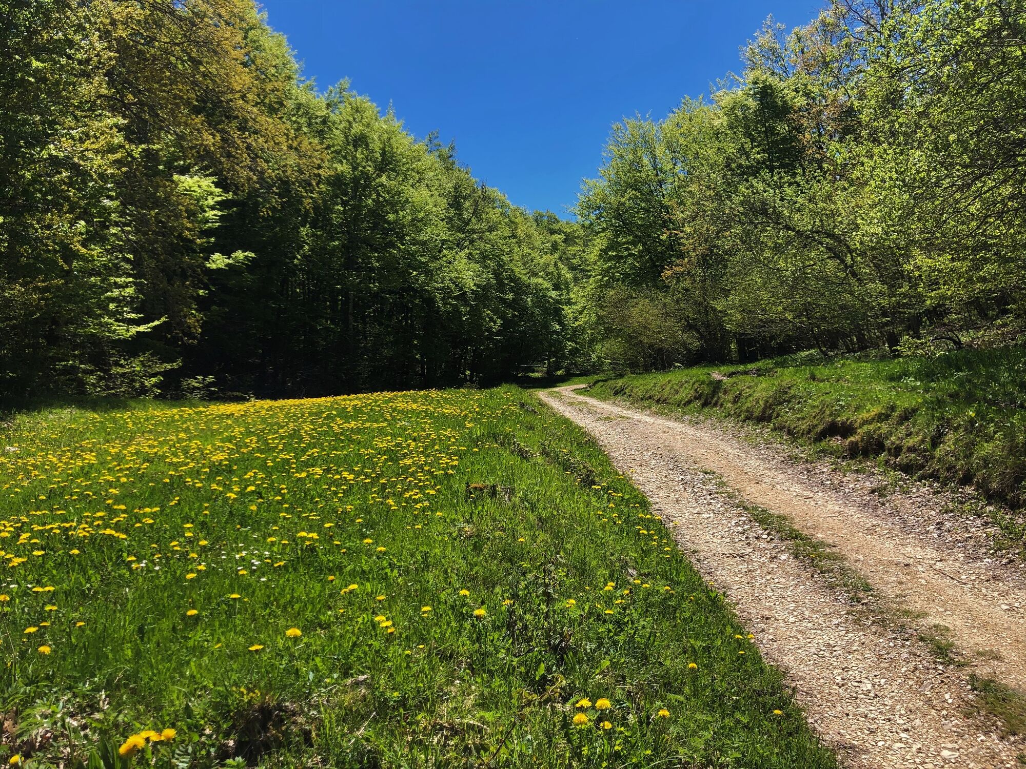
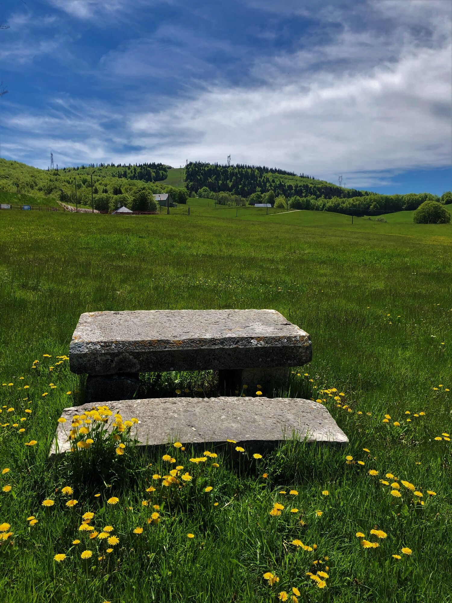
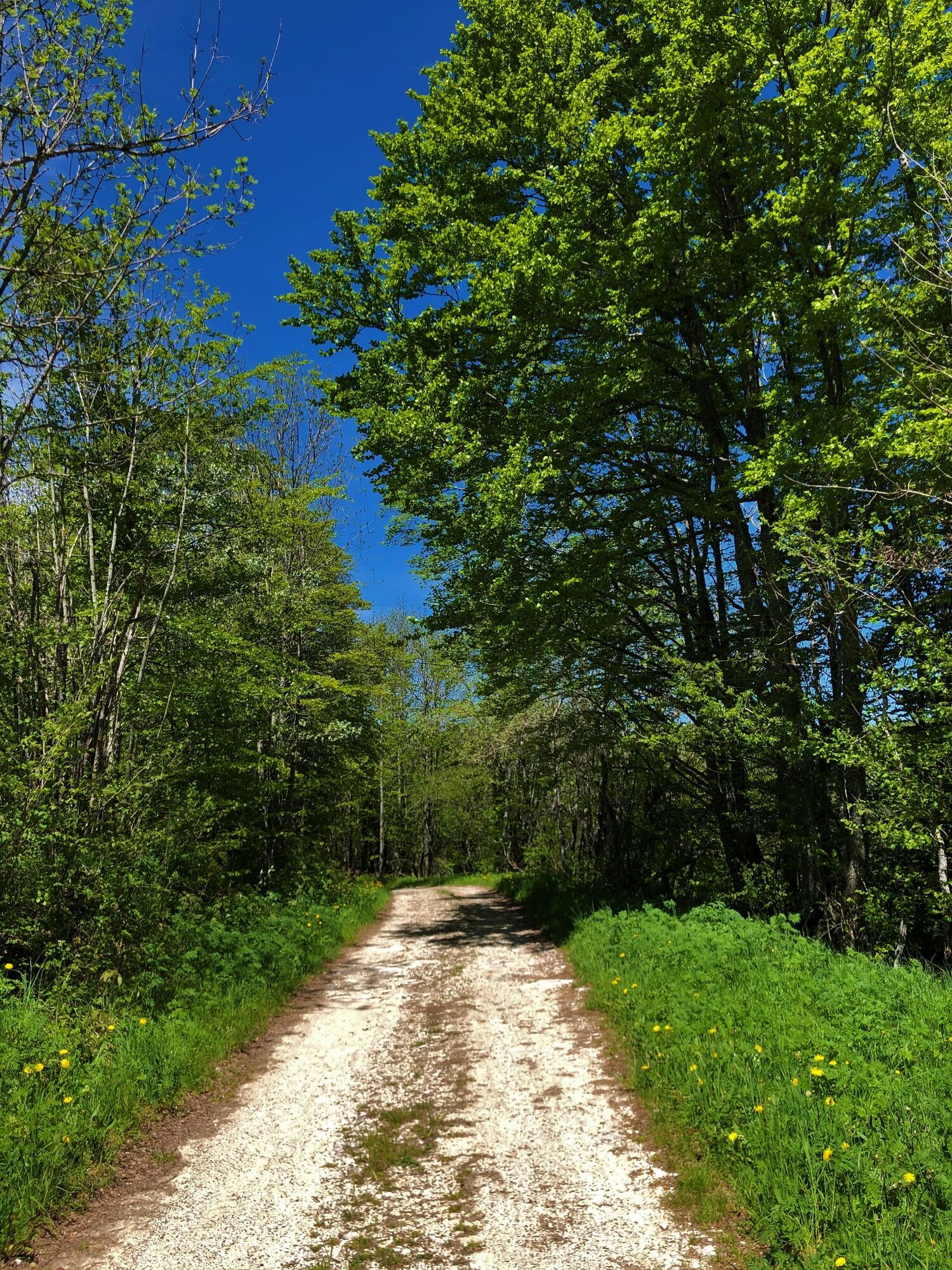
From the ski resort of Les Plans d'Hotonnes, valleys and ridges of the Plateau de Retord, panoramic views of Mont Blanc and the Alps above the Croix des Terments. Fields covered with flowers, daffodils and daffodils in spring.
- Greutăţi
-
uşor
- Evaluare
-
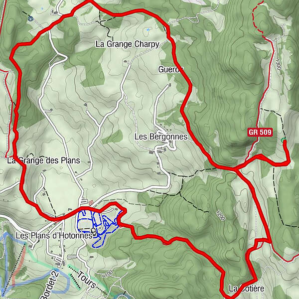
- Ruta
-
Le Bon Plan0,1 kmCret de Beauregard4,5 kmLes Terments (1.197 m)5,2 kmLes Plans d'Hotonnes10,2 km
- Cel mai bun sezon
-
ianfebmaraprmaiiuniulaugsepoctnovdec
- Cel mai înalt punct
- 1.260 m
- Destinație
-
L'arrivée est située devant l'office de Tourisme de la Maison des Plans
- Profil de elevație
-
 © outdooractive.com


- Autor
-
Turul Running trail: Ronde des Plans este utilizat de outdooractive.com furnizat.
GPS Downloads


Informaţii generale
Oprire pentru băuturi răcoritoare
Sfat din interior
Flora
Fauna
Promițător
Mai multe tururi în regiuni
-
Ain
31
-
Haut Bugey
23
-
Haut Valromey
10