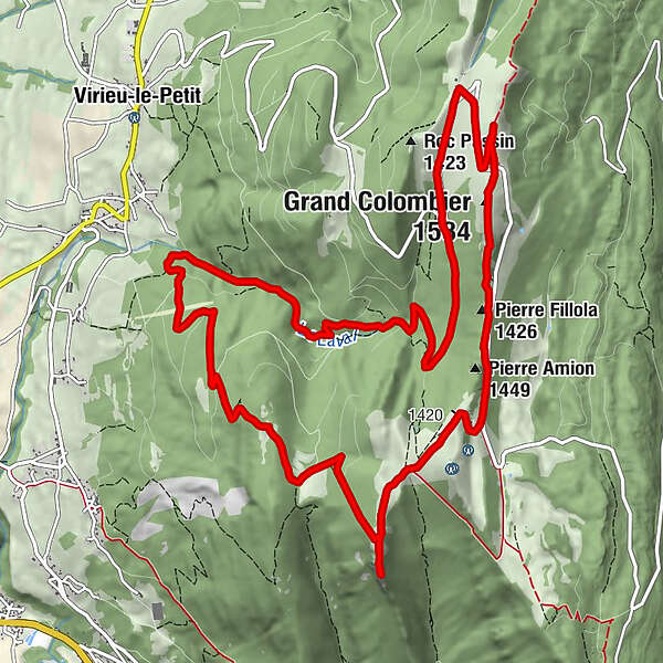
Running trail: Climb of the Grand Colombier from Munet

Trailrunning

© © D.Ballet

© © Maxime Ballet

© © Maxime Ballet

© © Maxime Ballet

© © Maxime Ballet

© © Maxime Ballet

© © D.Ballet

© © D.Ballet

© © D.Ballet

© © D.Ballet

- Scurtă descriere
-
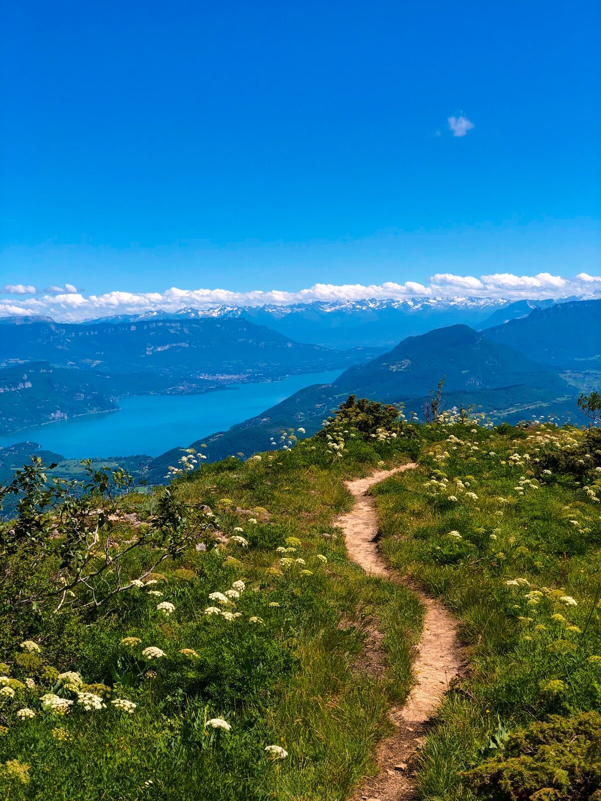
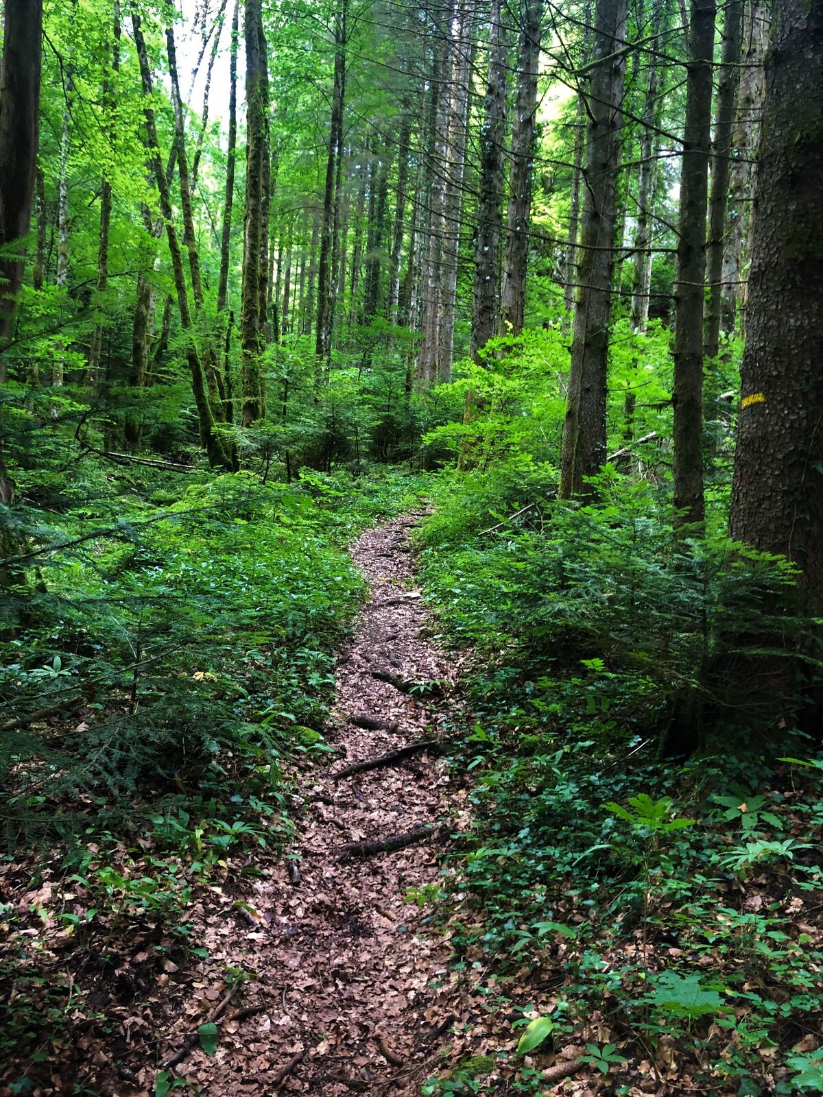
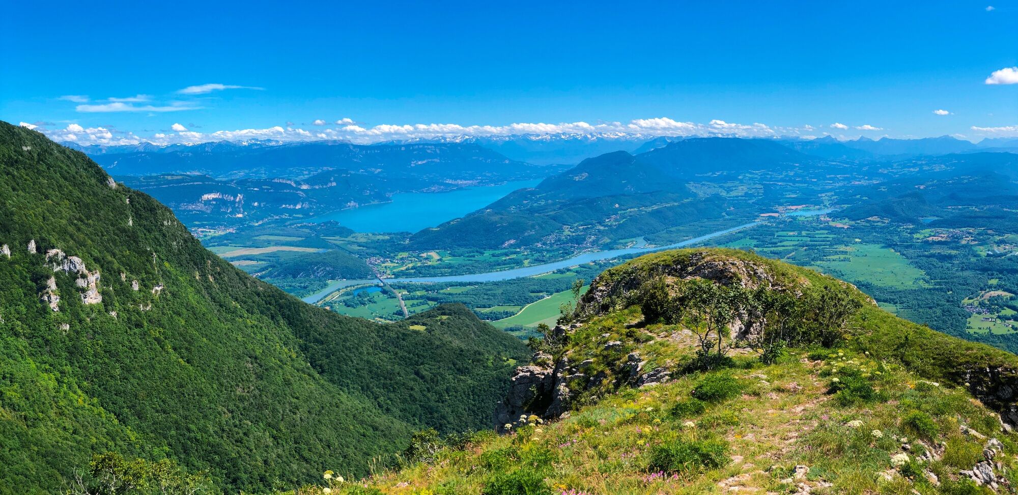
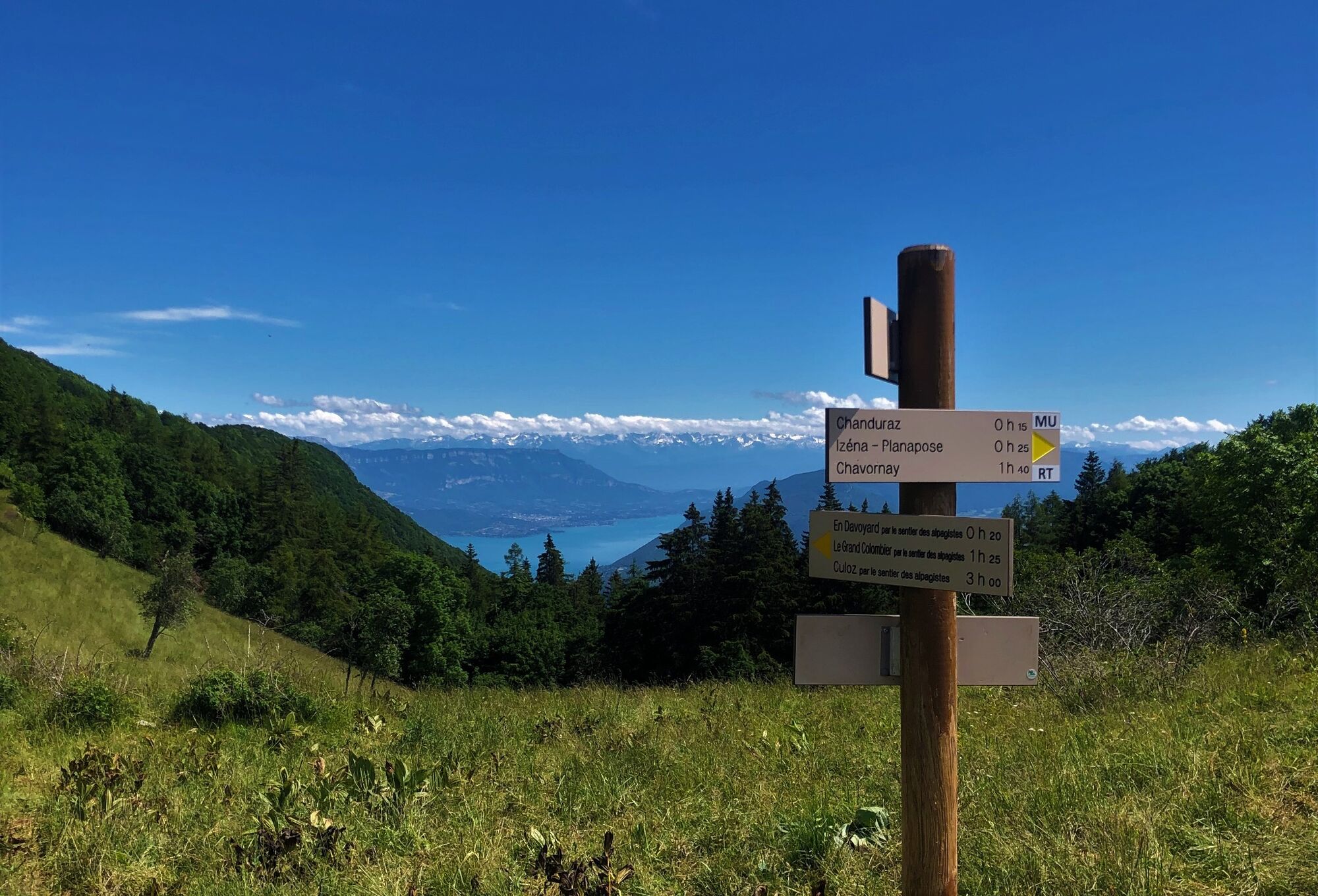
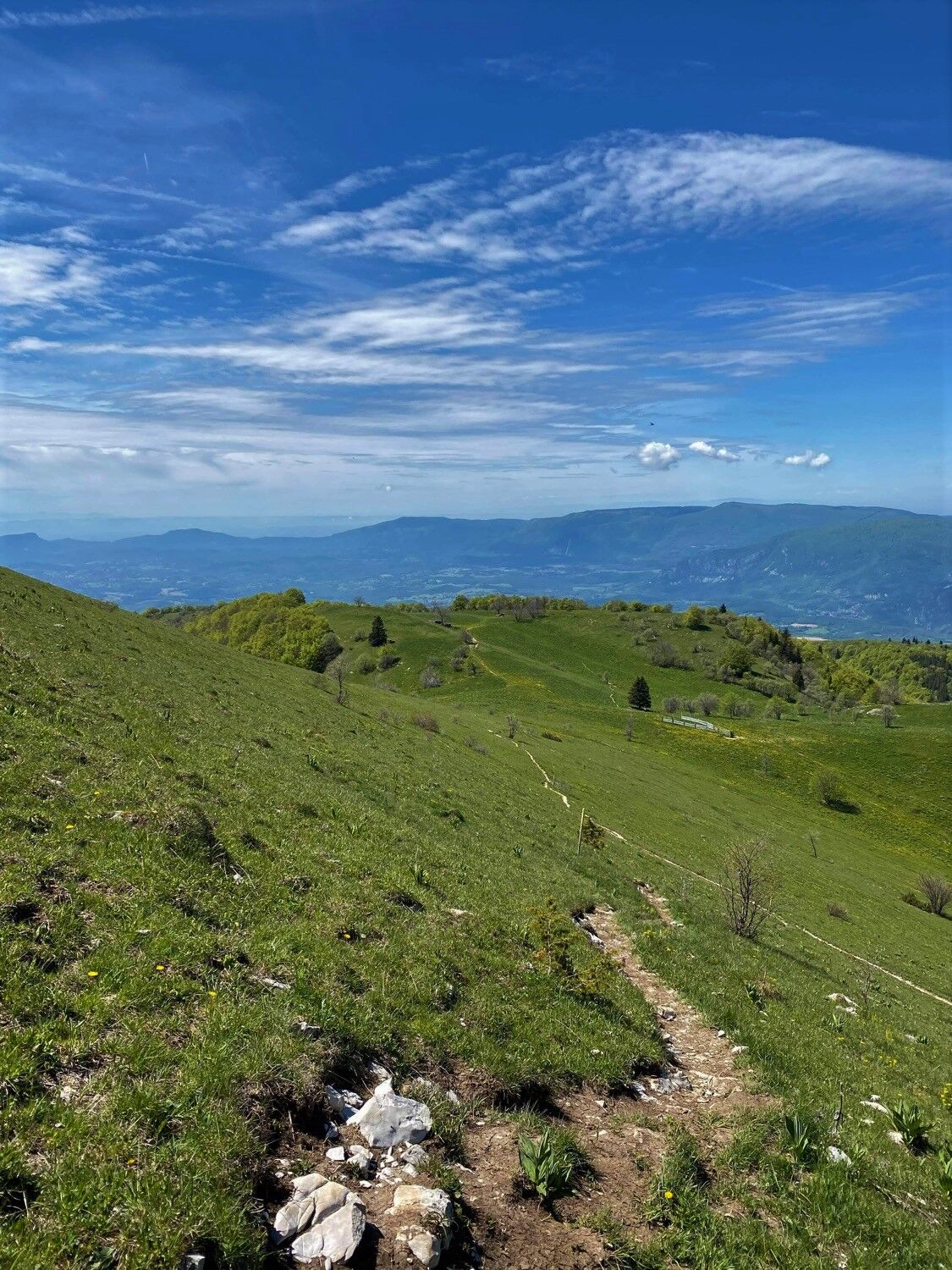
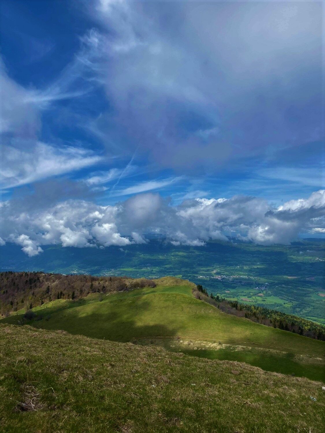
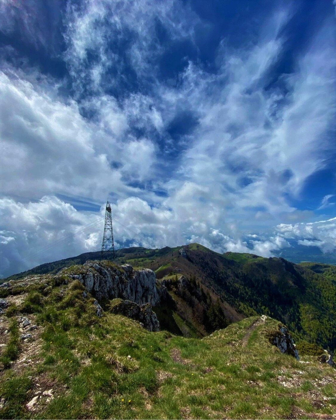
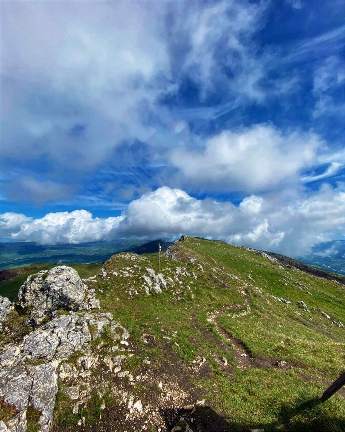
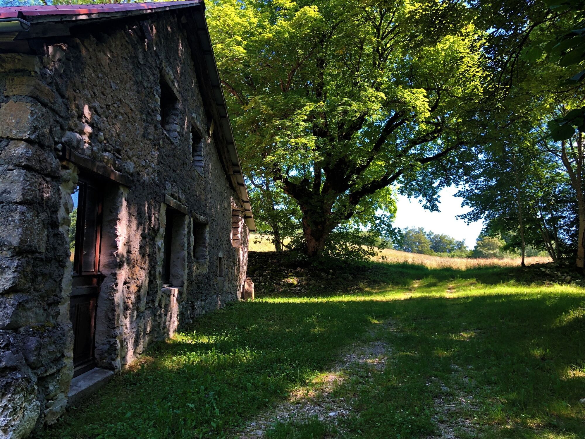
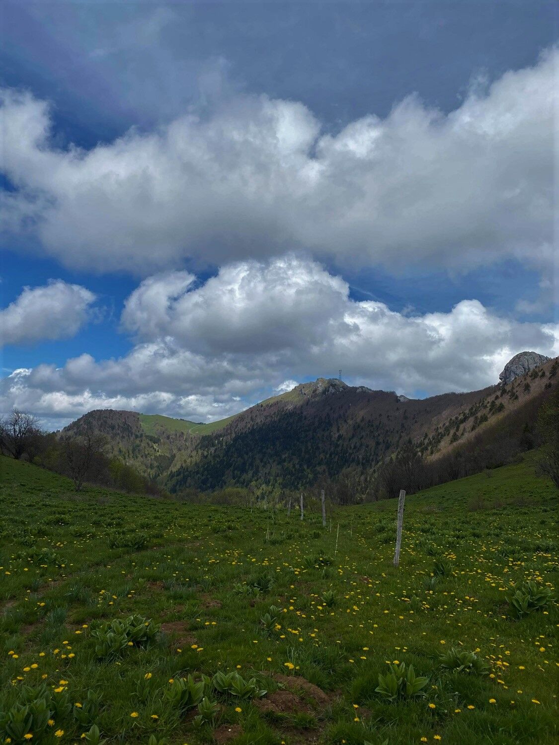
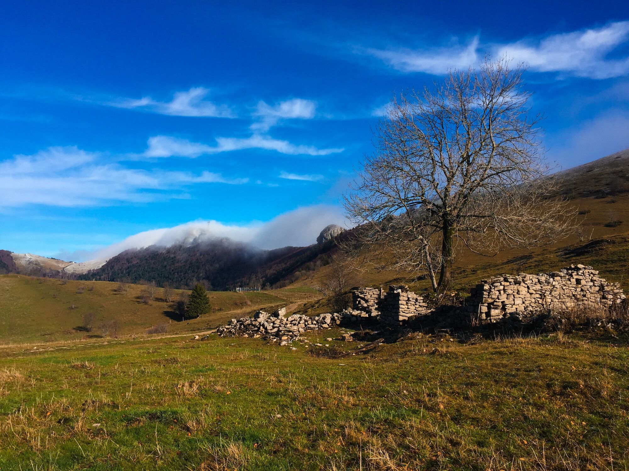
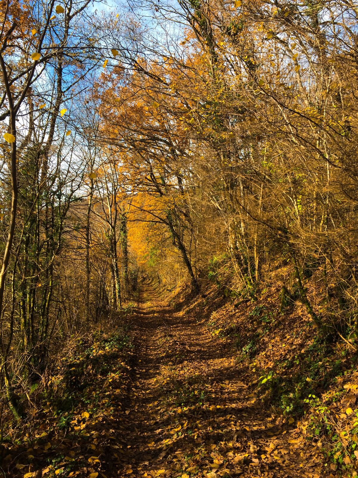
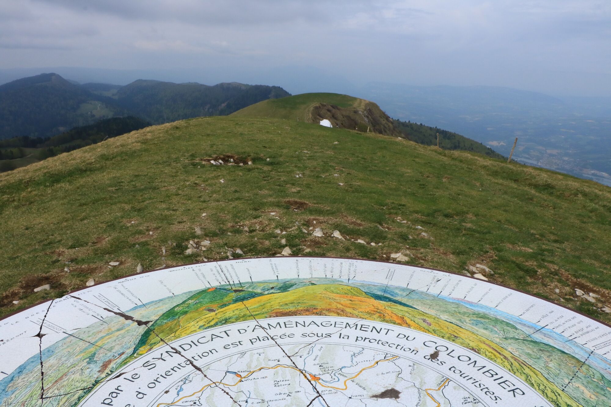
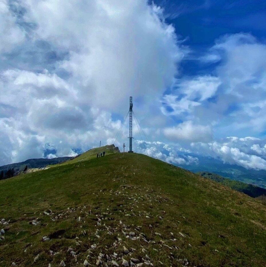
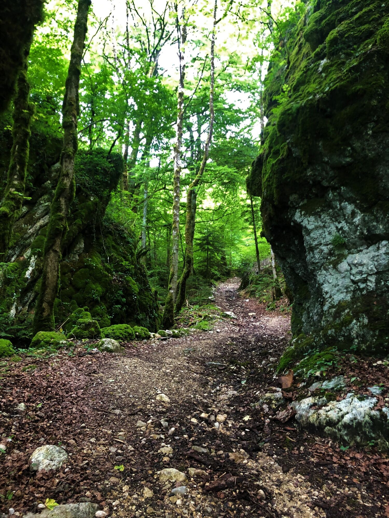
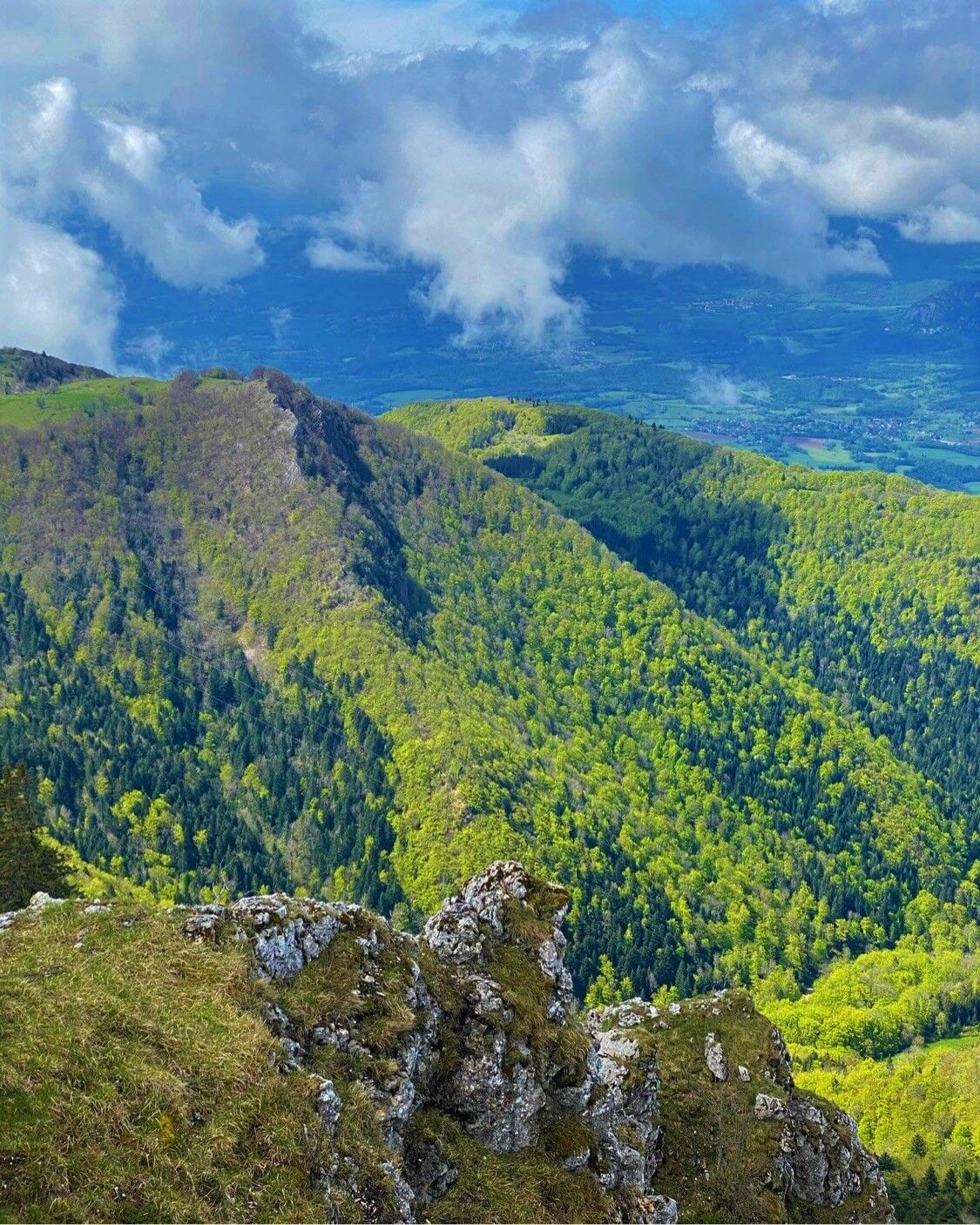
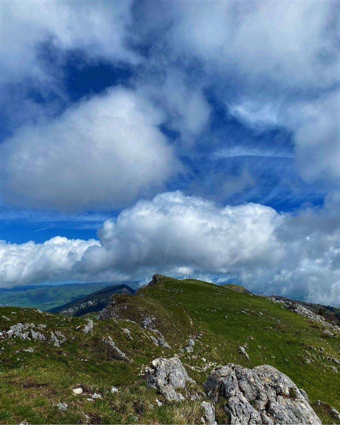
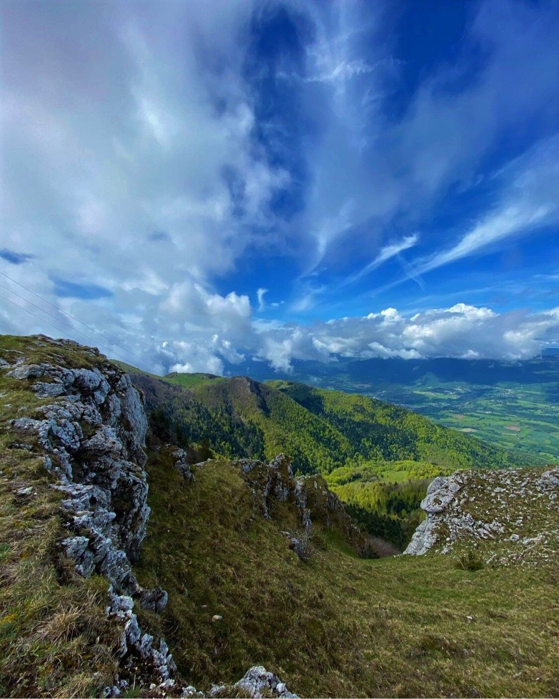
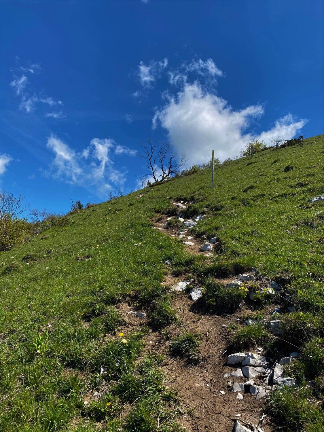
Starting in the calm forest of the Massif du Grand Colombier, the slopes will lead you to the breathtaking panoramic views of the summit and the rock of Chanduraz during your ascent from the hamlet of Munet to Virieu-le-Petit.
- Greutăţi
-
greu
- Evaluare
-
- Ruta
-
Grand Colombier (1.534 m)7,4 kmPierre Fillola (1.426 m)8,3 kmPierre Amion (1.449 m)8,7 kmAuberge du Colombier9,4 kmChamp du Raz11,2 kmSur le Giet13,2 kmAux Echarmelles14,3 km
- Cel mai bun sezon
-
ianfebmaraprmaiiuniulaugsepoctnovdec
- Cel mai înalt punct
- 1.527 m
- Destinație
-
L'arrivée est située au parking des départs randonnée de Munet, hameau d'Arvières-en-Valromey
- Profil de elevație
-
 © outdooractive.com


- Autor
-
Turul Running trail: Climb of the Grand Colombier from Munet este utilizat de outdooractive.com furnizat.
GPS Downloads


Informaţii generale
Oprire pentru băuturi răcoritoare
Flora
Promițător
Mai multe tururi în regiuni
-
Ain
35
-
Bugey Sud
16
-
Haut Valromey
14