© TILT COM’SEIL - Brice Milbergue

© TILT COM’SEIL - Lionel Terrail

© TILT COM’SEIL - Lionel Terrail

© TILT COM’SEIL - Lionel Terrail

© TILT COM’SEIL - Lionel Terrail

© TILT COM’SEIL - Lionel Terrail
Informaţii pentru tur
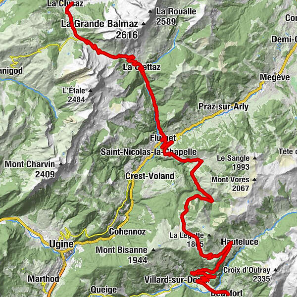
51,57km
695
- 1.658m
1.333hm
1.669hm
04:05h

TILT COM’SEIL
- Scurtă descriere
-
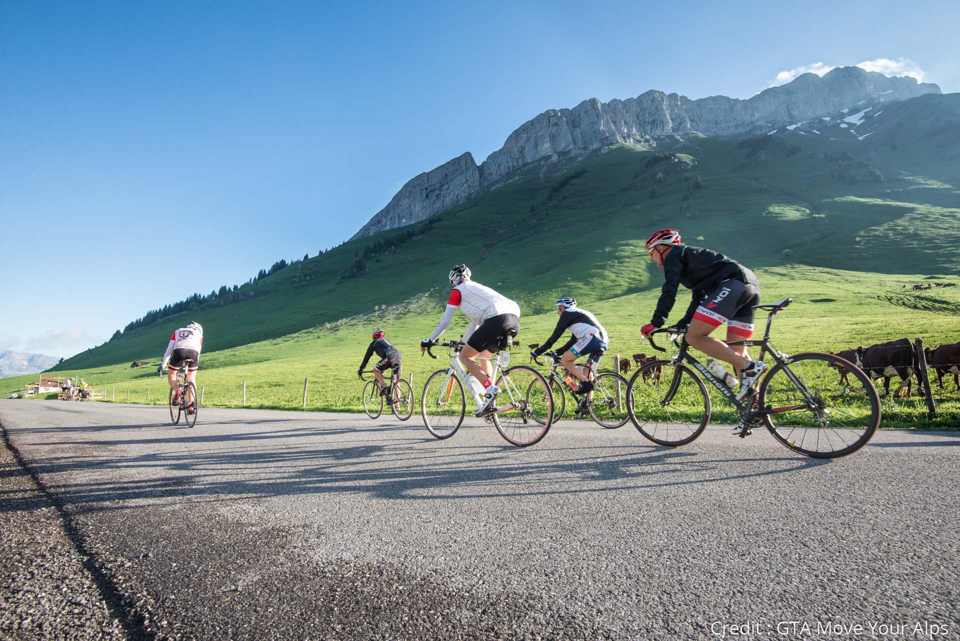
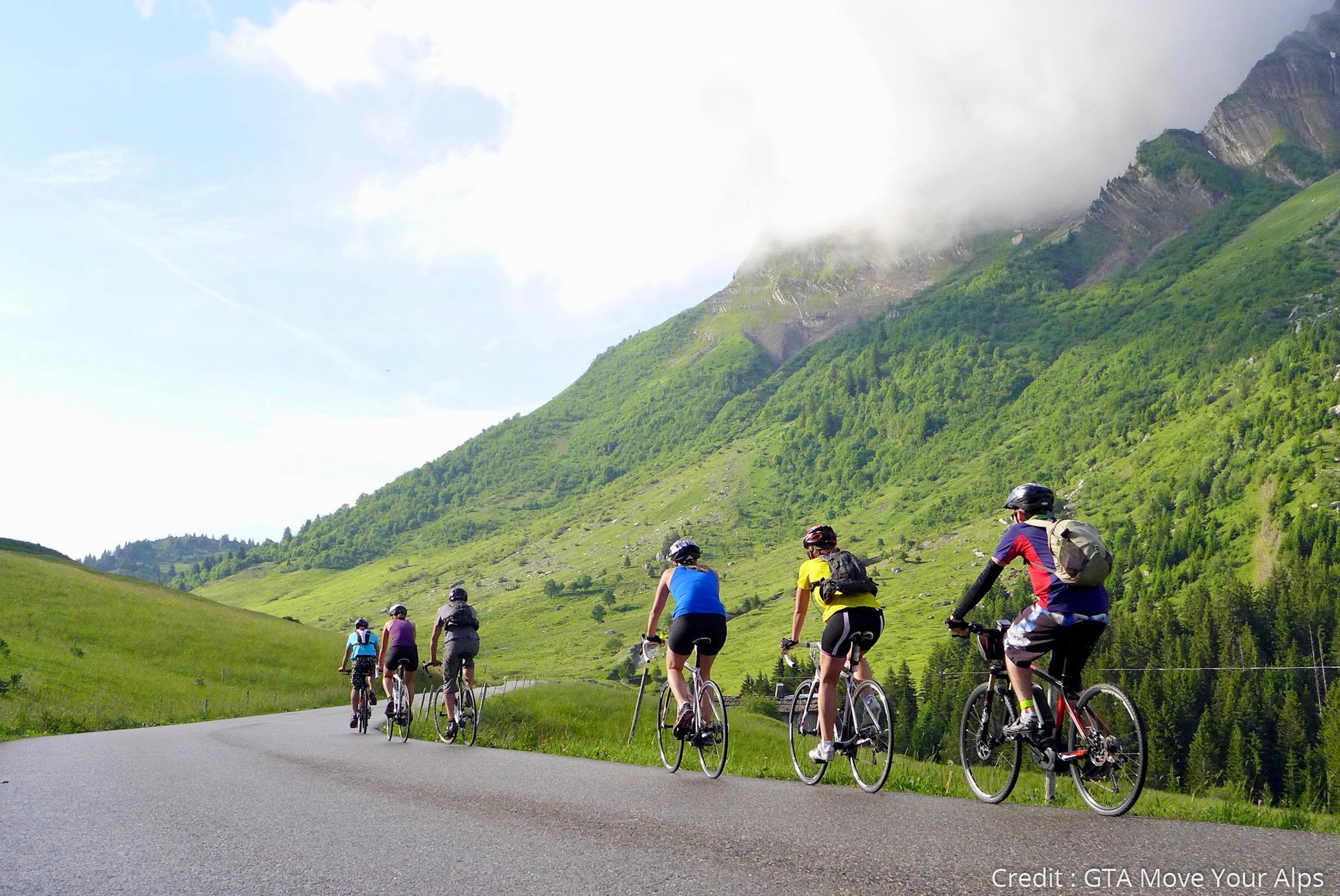
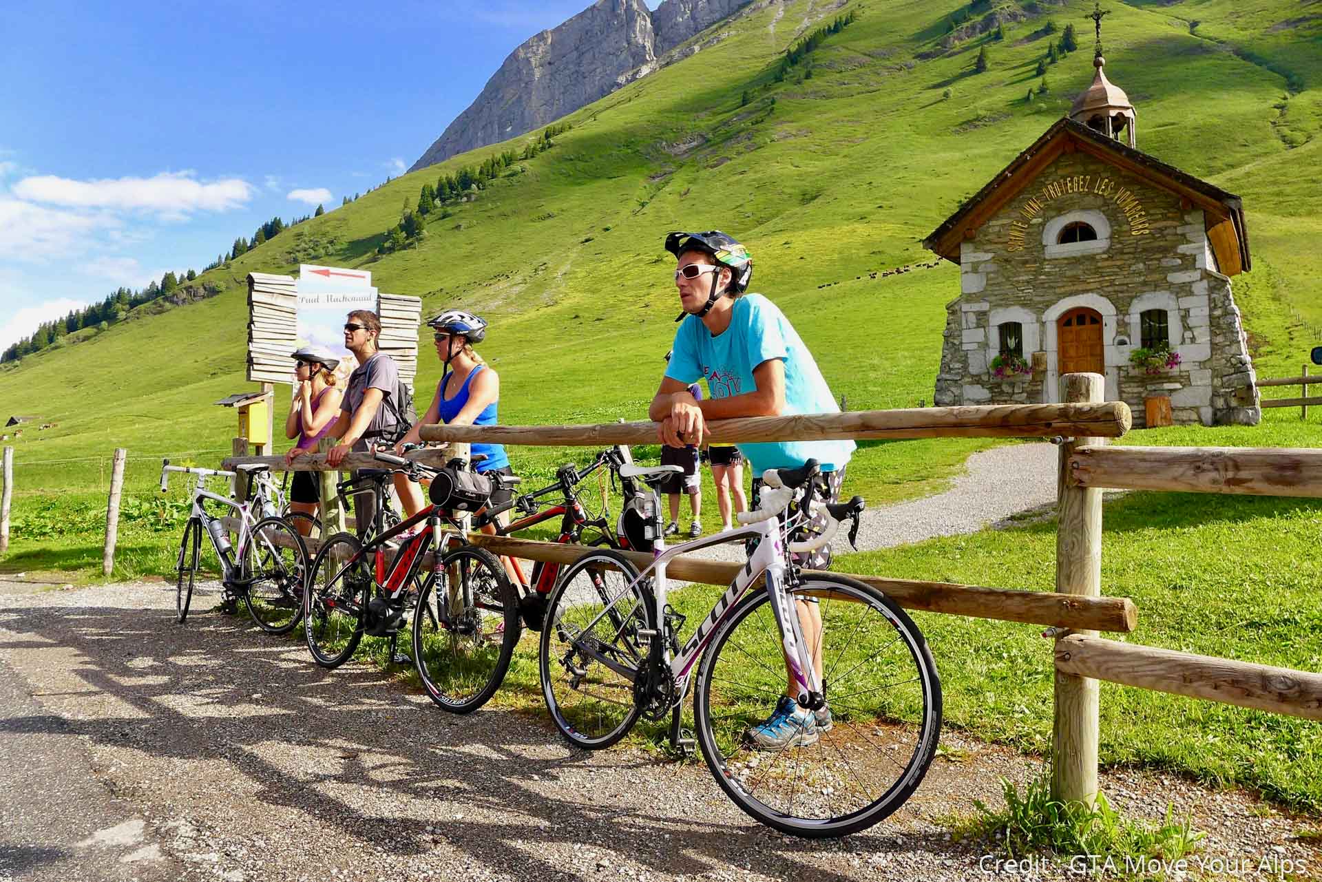
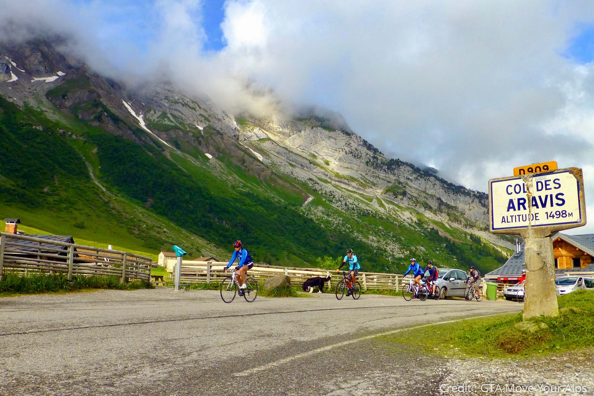
You will leave La Clusaz to climb the Col des Aravis directly before crossing the Val d'Arly and reach Beaufort by the Col des Saisies. Here you are in the heart of the northern part of French Alps, between hamlets and pastures with a breathtaking view of Mont Blanc!
- Greutăţi
-
greu
- Evaluare
-
- Ruta
-
Les Tollets0,4 kmLa Clusaz0,4 kmChamp Bleu0,7 kmLa Trouvière1,1 kmGotty1,9 kmLes Converses2,3 kmLes Aravis d'en Bas4,9 kmLe Chalet Savoyard6,6 kmChapelle des Aravis6,7 kmLes Rhodos6,7 kmLa Porte des Aravis6,8 kmLa Giettaz-en-Aravis12,4 kmDard waterfall13,5 kmBelle Tour18,3 kmL'ardoise18,5 kmFlumet18,9 kmLa Gorgerie21,6 kmLes Biolles21,7 kmNotre-Dame-de-Bellecombe22,3 kmBourjaillet22,5 kmChelou24,0 kmLes Favrays25,0 kmLe Planay25,7 kmLe Bistrot de Julien25,9 kmLes Georgières26,2 kmLes Coins26,3 kmLes Frasses27,8 kmLes Lapons33,9 kmChapelle Notre-Dame-de-Haute-Lumière34,0 kmLes Saisies34,5 kmChenavelle35,4 kmNantailly37,0 kmLes Culas37,6 kmVers Le Bois39,1 kmLe Praz40,3 kmLa Portetaz42,0 kmLa Pierre48,6 kmLe Dorinet49,8 kmLa Marzellaz50,1 kmLa Glirettaz50,9 kmBeaufort51,5 km
- Cel mai bun sezon
-
ianfebmaraprmaiiuniulaugsepoctnovdec
- Cel mai înalt punct
- 1.658 m
- Destinație
-
Beaufort
- Profil de elevație
-
 © outdooractive.com


- Autor
-
TILT COM’SEILTurul Route des Grandes Alpes - From La Clusaz to Beaufort (3) este utilizat de outdooractive.com furnizat.