
Informaţii pentru tur
6,49km
1.485
- 2.068m
507hm
545hm
02:30h

- Scurtă descriere
-
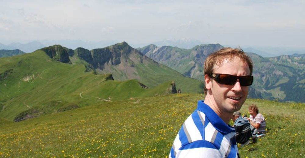
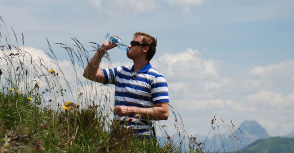
Gipfeltour für geübte, schwindelfreie und trittsichere Wanderer mit guter Kondition.
- Greutăţi
-
mediu
- Evaluare
-
- Punct de pornire
-
Seilbahnen Faschina
- Ruta
-
FaschinaHahnenkopf (1.772 m)0,6 kmGlatthorn (2.133 m)3,0 kmFranz-Josef-Hütte4,8 kmFaschina6,3 kmDSB Stafelalpe6,4 km
- Cel mai bun sezon
-
ianfebmaraprmaiiuniulaugsepoctnovdec
- Cel mai înalt punct
- 2.068 m
- Odihnă/Retragere
-
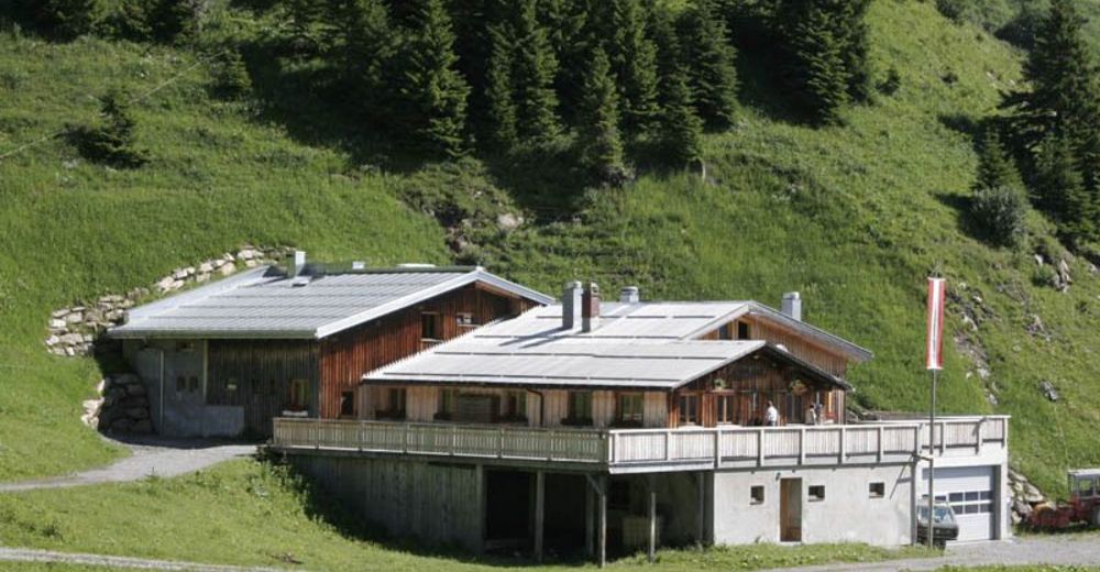
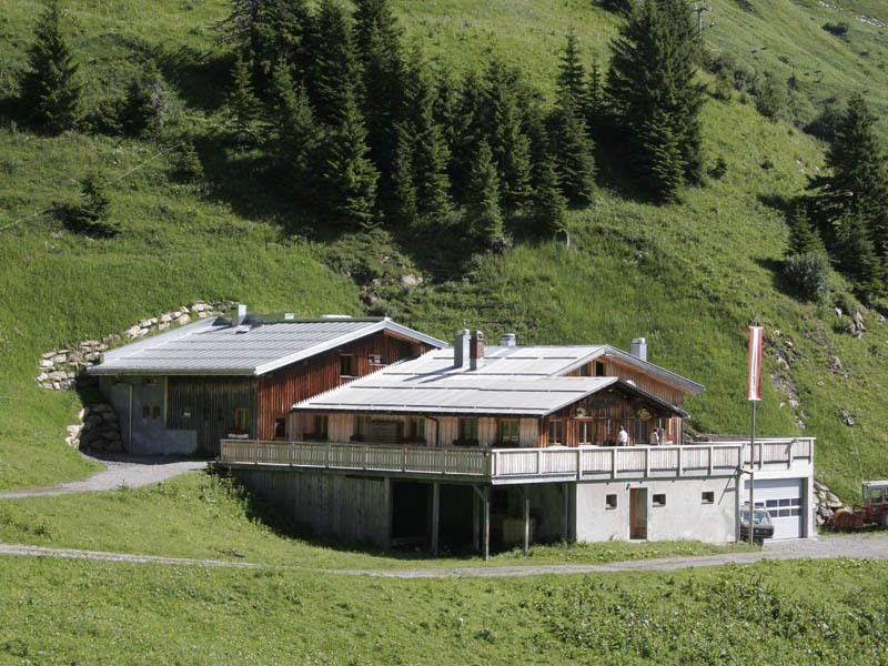
Franz - Josef Hütte

GPS Downloads


Condiții de traseu
Asfalt
Pietriş/prundiş/grohotiş
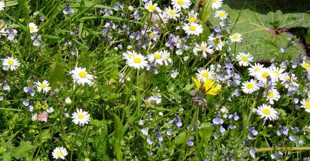
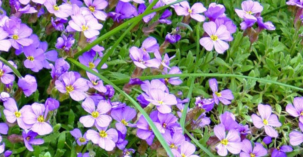
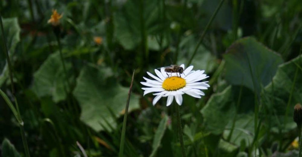
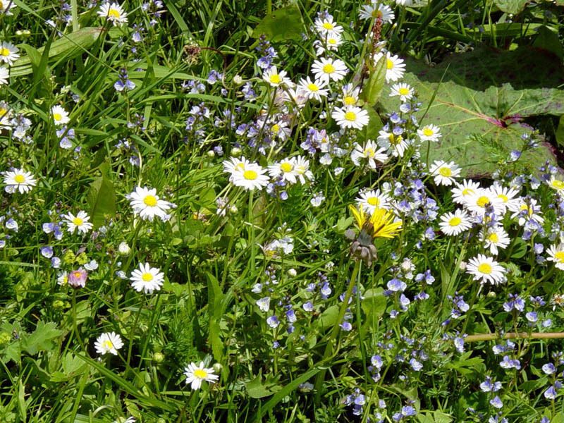
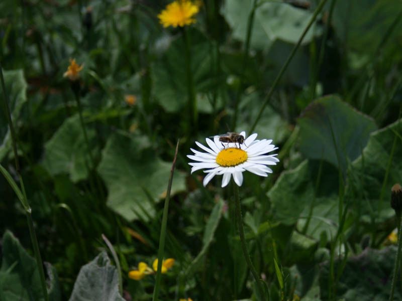
Livadă/pajişte
Pădure
Stâncă
Expus
Mai multe tururi în regiuni
-
St. Gallen - Bodensee
2065
-
Biosphärenpark Großes Walsertal
2006
-
Damüls
576


